Road Stream Crossing Site CHAR_EV22
Lake Charlevoix Watershed, Unknown
Phelps Rd
Eveline Twp,
Charlevoix County
Information collected by:
Site Location
GPS Coordinates: 45.22088
, -85.16857
T33N
R07W
Sec 28
Owned by Private
Structure is NOT Perched
Total Erosion: 0.3487 tons/year
Severity: Moderate
Year Inventoried: 2011
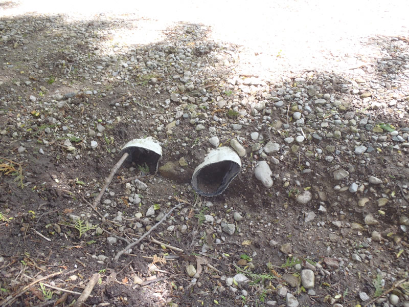
Inlet
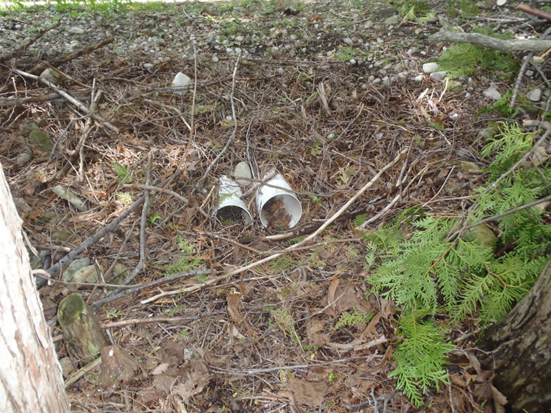
Outlet
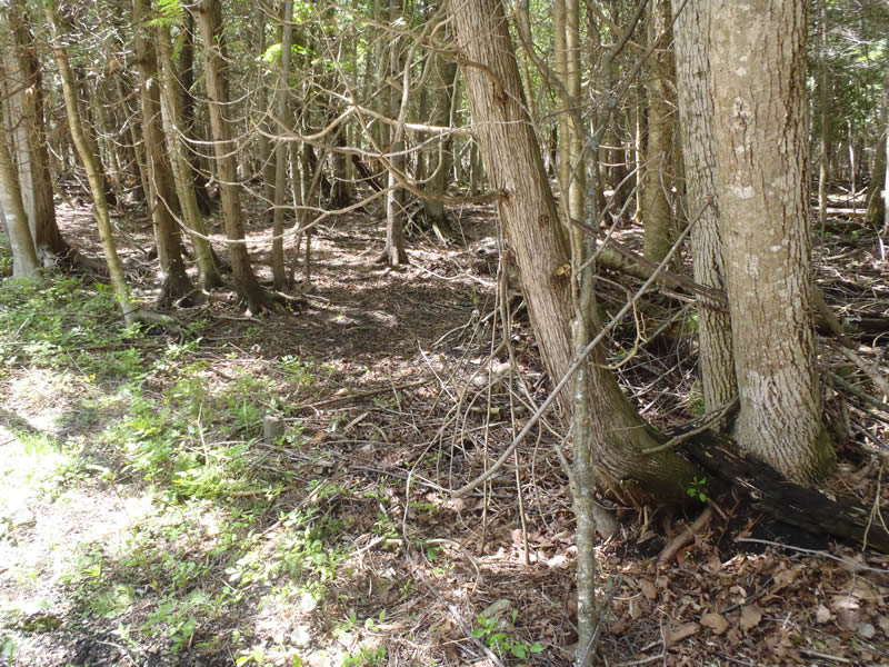
Upstream Conditions
Downstream Conditions
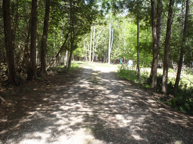
Road Approach - Left
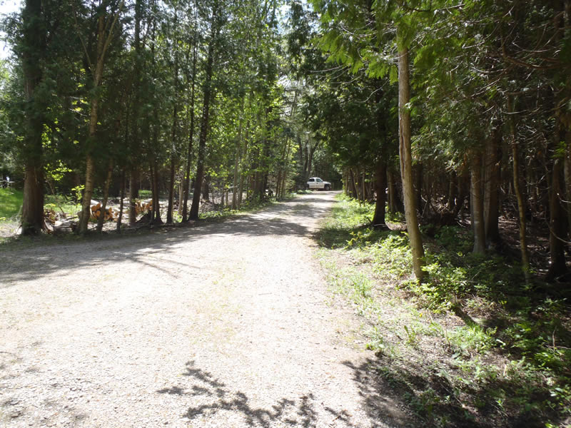
Road Approach - Right
Crossing Information
Type of Crossing: culvert(s)
Number of Structures: 2
Structure Shape: Round
Inlet Type: Projecting
Outlet Type: At Stream Grade
Structure Material: Plastic
Structure Substrate: None
General Conditions: Fair
Structure Interior: smooth
Dimensions of Structure: Length 20 ft.
, Width 0.3 ft.
, Height 0.3 ft.
Percentage Plugged:
Inlet: 0%
Outlet: 1% to 25%
In Pipe: 0%
Percentage Crushed:
Inlet: 1% to 25%
Outlet: 0%
In Pipe: 0%
Structure is NOT Perched
Water Depth: 0 ft.
Embedded Depth of Structure: 0 ft.
Water Velocity*: 0 ft./sec.
Water Depth: 0 ft.
Embedded Depth of Structure: 0 ft.
Water Velocity*: 0 ft./sec.
*Water Velocities were measured at the Surface
(with Float Test)
Additional Comments
Spring drainage failing structure less than 500 ft to the lake.
Stream Information
Stream Flow: None
Riffle Information
Water Depth: 0 ft.
Wetted Width: 0 ft.
Water Velocity: 0 ft./sec.
(Measured with Meter)
Dominant Substrate: Sand
Road Information
Gravel
Private Road
(Seasonal)
Road Condition: Good
Road Width at Culvert: 12 ft.
Location of Low Point: At Stream
Runoff Path: Ditch
Embankments
Upstream
Fill Depth: 1.5 ft.
Slope: 1:1.5
Downstream
Fill Depth: 2 ft.
Slope: 1:1.5
Approaches
Left Approach
Length: 210 ft.
Slope: 1% to 5%
Vegetation: Partial
LS Factor: 0.488
Erosion: 0.3388 tons/year
Right Approach
Length: 60 ft.
Slope: Less Than 1%
Vegetation: Partial
LS Factor: 0.05
Erosion: 0.0099 tons/year
Erosion Information
Total Erosion at Crossing: 0.3487 tons/year
Extent of Erosion: Minor
Summary Information
Erosion is an area of concern for this site.
�