Road Stream Crossing Site GTBAY_BRD020
Boardman River Watershed, Boardman River
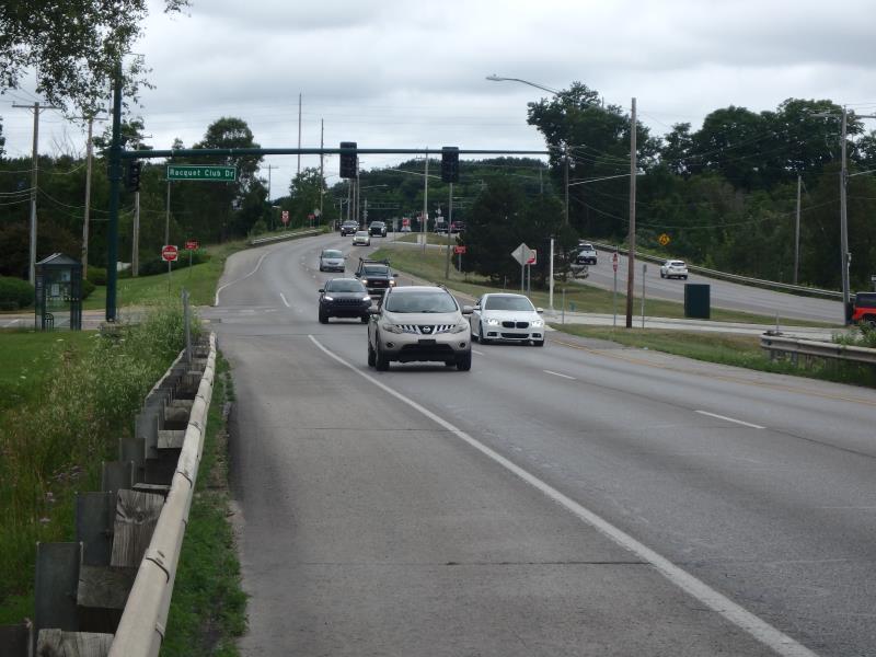
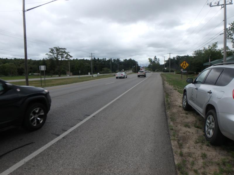
South Airport Rd
Garfield Twp,
Grand Traverse County
Information collected by:
Site Location
GPS Coordinates: 44.733228
, -85.616573
T27N
R11W
Sec 15
Owned by Private
Fish Passability 0.5
Total Erosion: 0.6413 tons/year
Severity: Moderate
Year Inventoried: 2020
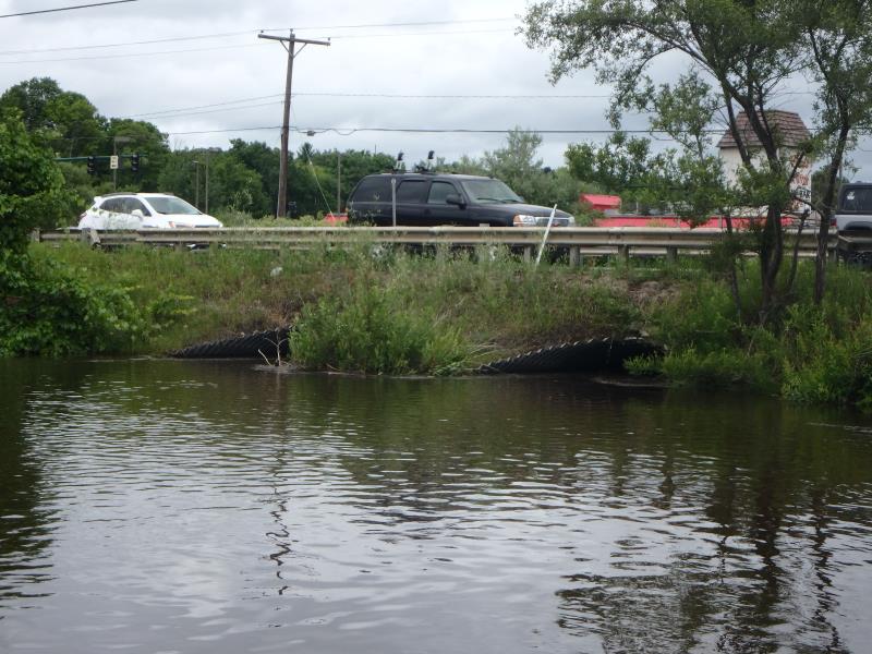
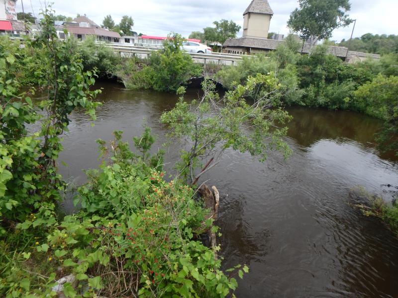
Inlet
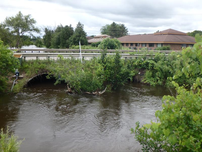
Outlet
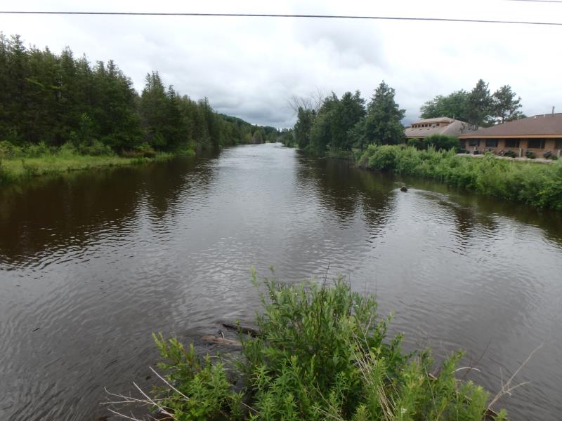
Upstream Conditions
Downstream Conditions
Road Approach - Left
Road Approach - Right
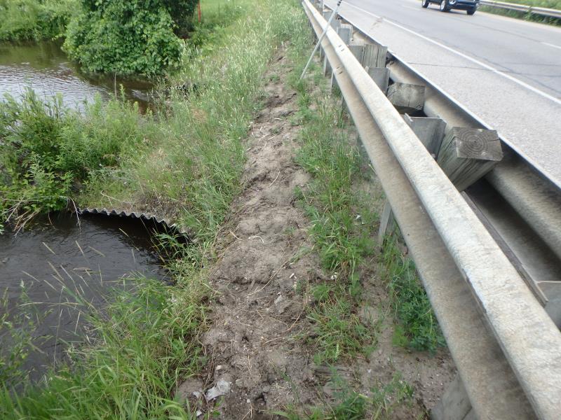
Erosion
Crossing Information
Type of Crossing: culvert(s)
Number of Structures: 2
Structure Shape: Pipe Arch
Inlet Type: Mitered
Outlet Type: At Stream Grade
Structure Material: Metal
Structure Substrate: Sand
General Conditions: Fair
Multiple Culverts/Spans | ||||
Culvert/Span | Width | Length | Height | Material |
1 |
12.5 ft. |
70 ft. |
9 ft. |
Metal |
2 |
12.5 ft. |
70 ft. |
9 ft. |
Metal |
Structure Interior: corrugated
Dimensions of Structure: Length 70 ft.
, Width 12.5 ft.
, Height 9 ft.
Structure Inlet
Water Depth: 7 ft.
Embedded Depth of Structure: 0 ft.
Water Velocity*: 2.7 ft./sec.
Structure Outlet
Water Depth: 6.5 ft.
Embedded Depth of Structure: 0 ft.
Water Velocity*: 2.5 ft./sec.
*Water Velocities were measured 3 ft. below Surface
(with Meter)
Additional Comments
Water depth and velocity measurements recorded for culvert #1
Stream Information
Stream Flow: Bankfull
Riffle Information
Water Depth: 6 ft.
Bankfull Width: 65 ft.
Wetted Width: 65 ft.
Dominant Substrate: Sand
Road Information
Paved
County Road
Road Condition: Fair
Road Width at Culvert: 40 ft.
Location of Low Point: At Stream
Runoff Path: Ditch
Embankments
Upstream
Fill Depth: 4 ft.
Slope: Vertical
Downstream
Fill Depth: 3.5 ft.
Slope: Vertical
Approaches
Left Approach
Length: 500 ft.
Slope: 1% to 5%
Vegetation: Partial
LS Factor: 0.64
Erosion: 0.4231 tons/year
Right Approach
Length: 300 ft.
Slope: 1% to 5%
Vegetation: Partial
LS Factor: 0.55
Erosion: 0.2182 tons/year
Erosion Information
Total Erosion at Crossing: 0.6413 tons/year
Location of Erosion | Erosion Dimensions | Eroded Material | Material Eroded | Total Erosion | ||
facing downstream | Length | Width | Depth | Reaching Stream? | (tons/year) | |
Right Upstream Embankment |
50 ft. |
2 ft. |
0.2 ft. |
yes |
Sand |
|
Left Downstream Embankment |
1 ft. |
3 ft. |
1 ft. |
yes |
Sandy Loam |
|
Summary Information
Fish Passability 0.5
These non-native species were observerd at this site: Spotted Knapweed, Sweet White Clover
�