Road Stream Crossing Site GTBAY_BRD022
Boardman River Watershed, Boardman River
South Airport Rd
Garfield Twp,
Grand Traverse County
Information collected by:
Site Location
GPS Coordinates: 44.733388
, -85.613375
T27N
R11W
Sec 14
Owned by Private
Total Erosion: 2.6808 tons/year
Severity: Severe
Year Inventoried: 2020
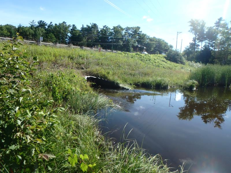
Inlet
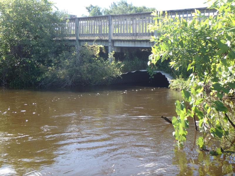
Outlet
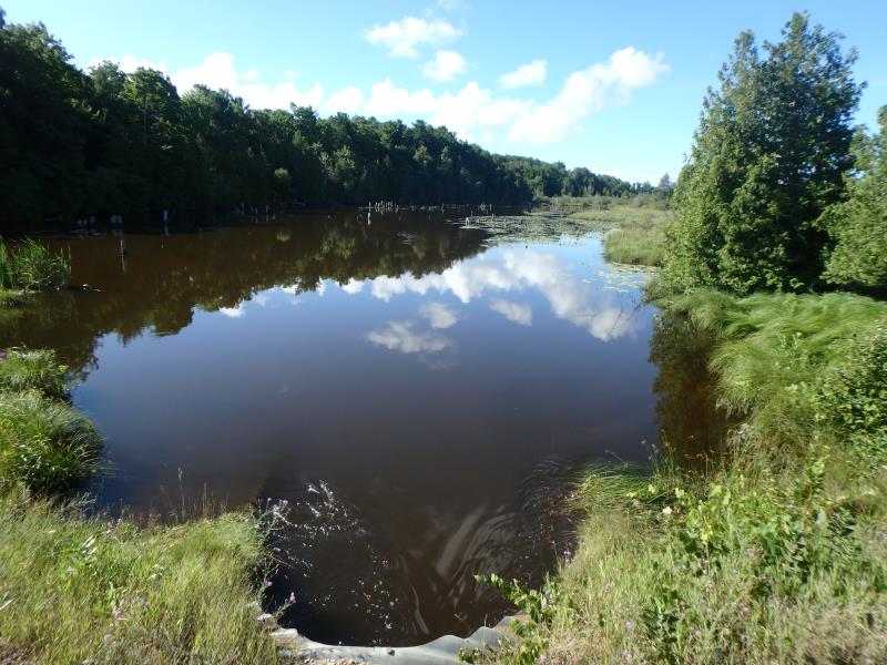
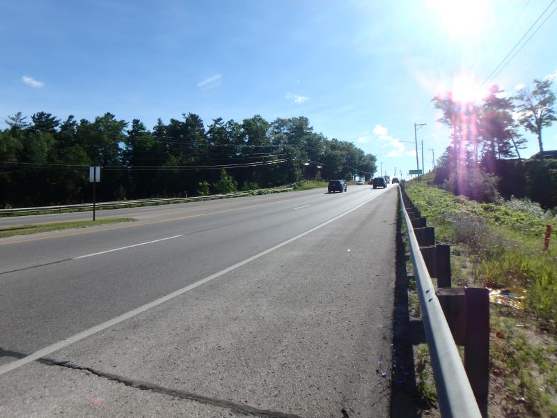
Upstream Conditions
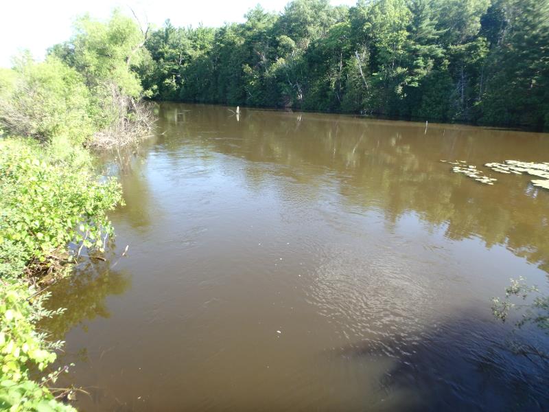
Downstream Conditions
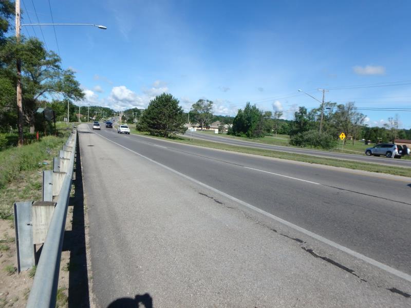
Road Approach - Left
Road Approach - Right
Crossing Information
Type of Crossing: culvert(s)
Structure Shape: Pipe Arch
Inlet Type: Mitered
Outlet Type: At Stream Grade
Structure Material: Metal
Structure Substrate: Sand
General Conditions: Fair
Structure Interior: corrugated
Dimensions of Structure: Length 155 ft.
, Width 11.2 ft.
, Height 8.5 ft.
Structure Inlet
Water Depth: 6.3 ft.
Embedded Depth of Structure: 0 ft.
Water Velocity*: 3.1 ft./sec.
Structure Outlet
Water Depth: 6.7 ft.
Embedded Depth of Structure: 0 ft.
Water Velocity*: 2.5 ft./sec.
*Water Velocities were measured 3 ft. below Surface
(with Meter)
Additional Comments
Boardman Lake downstream
Stream Information
Stream Flow: Less than Bankfull
Road Information
Paved
County Road
Road Condition: Good
Road Width at Culvert: 98 ft.
Location of Low Point: Other
Runoff Path: Roadway
Embankments
Upstream
Fill Depth: 5.4 ft.
Slope: 1:2
Downstream
Fill Depth: 5.5 ft.
Slope: 1:1
Approaches
Left Approach
Length: 200 ft.
Slope: Less Than 1%
Vegetation: Heavy
LS Factor: 0.05
Erosion: 0.0324 tons/year
Right Approach
Length: 500 ft.
Slope: 6% to 10%
Vegetation: Heavy
LS Factor: 1.635
Erosion: 2.6484 tons/year
Erosion Information
Total Erosion at Crossing: 2.6808 tons/year
Summary Information
These non-native species were observerd at this site: Spotted Knapweed, Autumn Olive, Sweet White Clover
�