Road Stream Crossing Site GTBAY_GC001
East Bay Shoreline & Tributaries Watershed, Guyer Creek
Timberlake Shores Rd
Banks Twp,
Antrim County
Information collected by:
Site Location
GPS Coordinates: 45.130481
, -85.371603
T32N
R9W
Sec 35
Owned by Private
Fish Passability 0
Perch Height: 1.8 ft.
Total Erosion: 1.4655 tons/year
Severity: Severe
Year Inventoried: 2020
Inlet
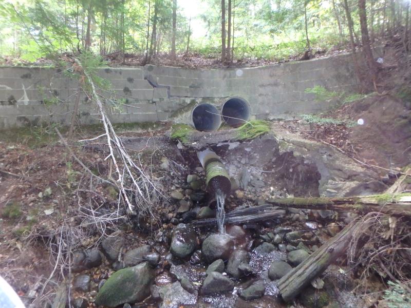
Outlet
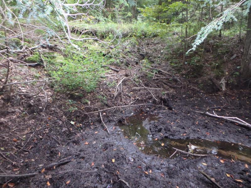
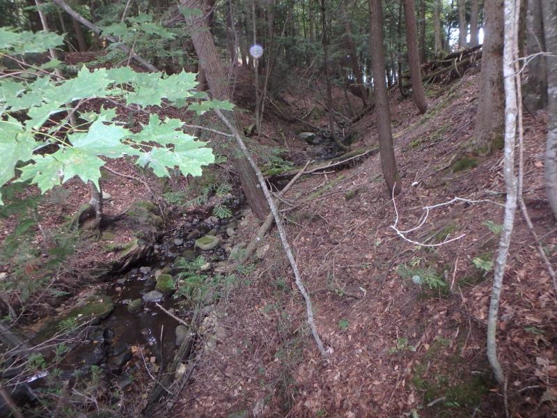
Upstream Conditions
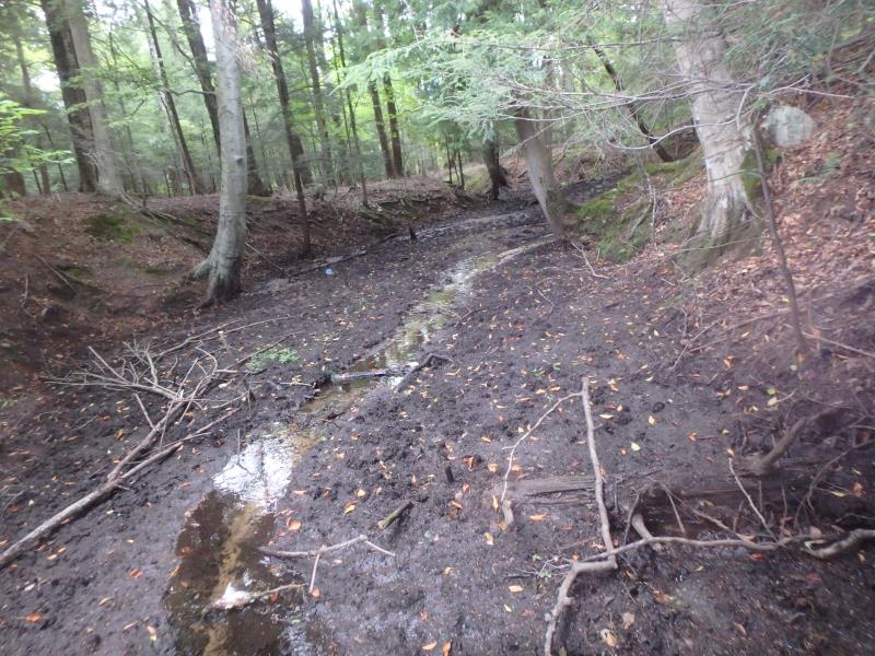
Downstream Conditions
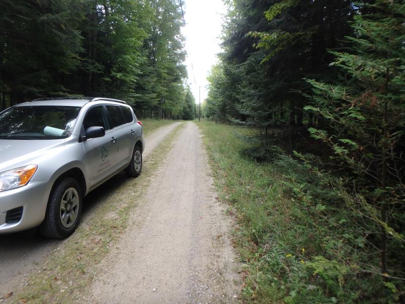
Road Approach - Left
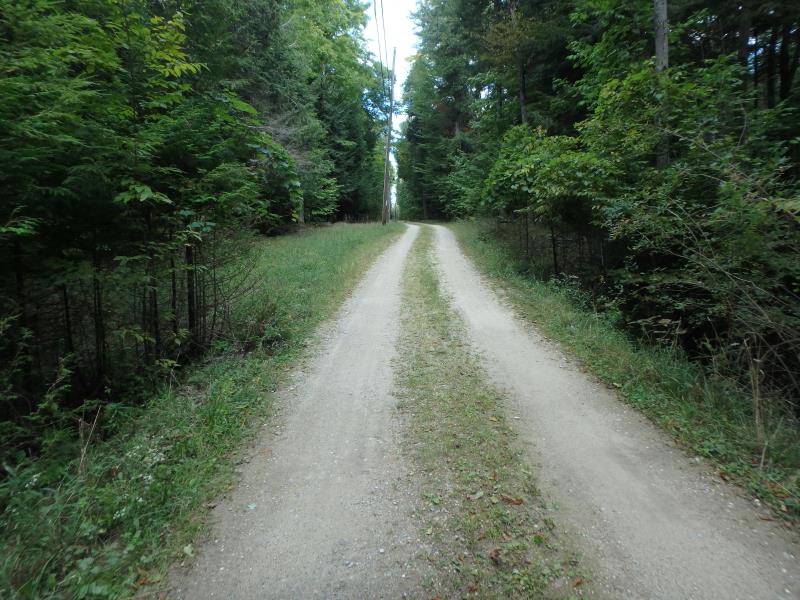
Road Approach - Right
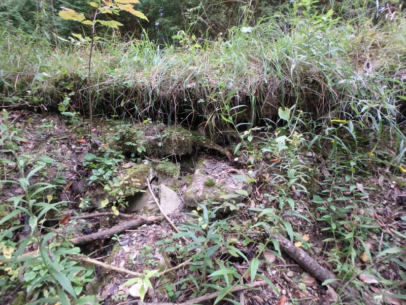
Erosion
Crossing Information
Type of Crossing: culvert(s)
Structure Shape: Round
Inlet Type: Projecting
Outlet Type: Freefall onto Riprap
Structure Material: Metal
Structure Substrate: None
General Conditions: Poor
Structure Interior: corrugated
Dimensions of Structure: Length 37 ft.
, Width 1 ft.
, Height 1 ft.
Percentage Plugged:
Inlet: 76% to 100%
Perch Height: 1.8 ft.
Structure Outlet
Water Depth: 0.1 ft.
Embedded Depth of Structure: 0 ft.
Water Velocity*: 1.3 ft./sec.
Additional Comments
Terrible perch at this site, no fish passage.
Stream Information
Stream Flow: Less than 1/2 Bankfull
Riffle Information
Water Depth: 0.2 ft.
Bankfull Width: 6 ft.
Wetted Width: 2 ft.
Water Velocity: 0.6 ft./sec.
(Measured with Meter)
Dominant Substrate: Sand
Road Information
Gravel
Private Road
Road Condition: Fair
Road Width at Culvert: 11 ft.
Location of Low Point: At Stream
Runoff Path: Ditch
Embankments
Upstream
Fill Depth: 10 ft.
Slope: 1:1.5
Downstream
Fill Depth: 14 ft.
Slope: Vertical
Approaches
Left Approach
Length: 85 ft.
Slope: 1% to 5%
Vegetation: Partial
LS Factor: 0.372
Erosion: 0.0958 tons/year
Right Approach
Length: 500 ft.
Slope: 1% to 5%
Vegetation: Partial
LS Factor: 0.64
Erosion: 0.9697 tons/year
Erosion Information
Total Erosion at Crossing: 1.4655 tons/year
Extent of Erosion: Severe
Notes: Undercutting embankment on edge of road.
Location of Erosion | Erosion Dimensions | Eroded Material | Material Eroded | Total Erosion | ||
facing downstream | Length | Width | Depth | Reaching Stream? | (tons/year) | |
Left Upstream Embankment |
10 ft. |
13 ft. |
1 ft. |
yes |
Gravelly Loam |
0.2 |
Right Upstream Embankment |
10 ft. |
13 ft. |
1 ft. |
yes |
Gravelly Loam |
0.2 |
Summary Information
Fish Passability 0
Fish Passage is an area of concern for this site.
Perched culvert
A future visit to this site is recommended. Possible road safety issue. No fish passage
�