Road Stream Crossing Site GTBAY_GC002
East Bay Shoreline & Tributaries Watershed, Guyer Creek
Timberlake Shores Rd
Banks Twp,
Antrim County
Information collected by:
Site Location
GPS Coordinates: 45.13462
, -85.36508
T32N
R9W
Sec 36
Owned by Private
Perch Height: 0.5 ft.
Total Erosion: 0.4137 tons/year
Severity: Minor
Year Inventoried: 2020
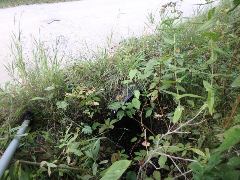
Inlet
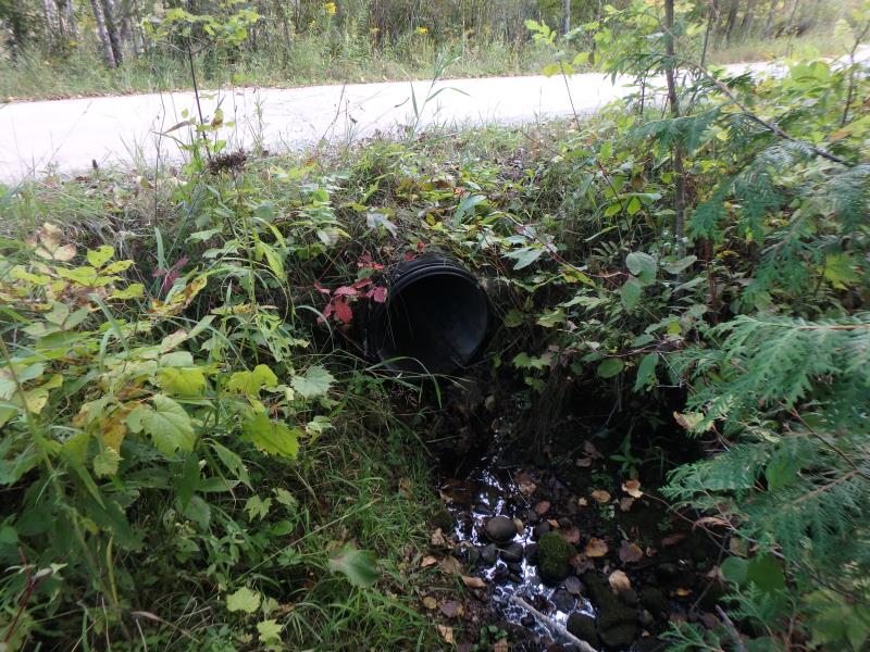
Outlet
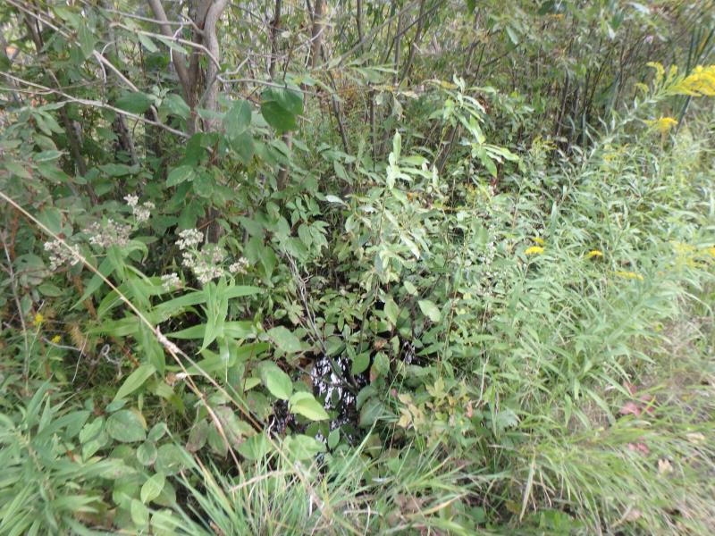
Upstream Conditions
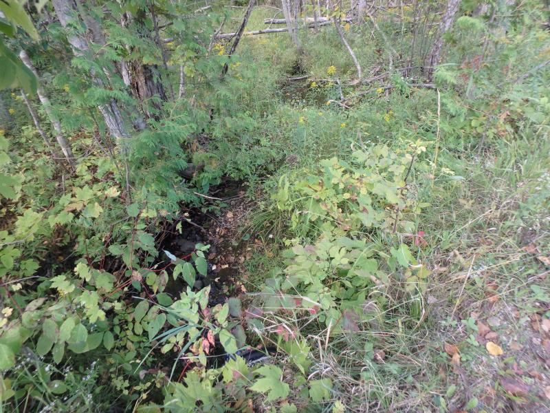
Downstream Conditions
Crossing Information
Type of Crossing: culvert(s)
Structure Shape: Round
Inlet Type: Projecting
Outlet Type: Freefall onto Riprap
Structure Material: Plastic
Structure Substrate: None
General Conditions: Good
Structure Interior: corrugated
Dimensions of Structure: Length 20 ft.
, Width 1.8 ft.
, Height 1.8 ft.
Perch Height: 0.5 ft.
Water Depth: 0 ft.
Embedded Depth of Structure: 0 ft.
Water Velocity*: 0 ft./sec.
Water Depth: 0 ft.
Embedded Depth of Structure: 0 ft.
Water Velocity*: 0 ft./sec.
Stream Information
Stream Flow: None
Road Information
Gravel
Private Road
Road Condition: Good
Road Width at Culvert: 13.5 ft.
Location of Low Point: Other
Runoff Path: Ditch
Embankments
Upstream
Fill Depth: 0.3 ft.
Slope: More than 1:2
Downstream
Fill Depth: 0.8 ft.
Slope: More than 1:2
Approaches
Left Approach
Length: 250 ft.
Slope: 1% to 5%
Vegetation: Heavy
LS Factor: 0.44
Erosion: 0.4091 tons/year
Right Approach
Length: 25 ft.
Slope: Less Than 1%
Vegetation: Heavy
LS Factor: 0.05
Erosion: 0.0046 tons/year
Erosion Information
Total Erosion at Crossing: 0.4137 tons/year
Summary Information
�