Road Stream Crossing Site GTBAY_GC004
East Bay Shoreline & Tributaries Watershed, Guyer Creek
US-31
Banks Twp,
Antrim County
Information collected by:
Site Location
GPS Coordinates: 45.151954
, -85.346512
T32N
R9W
Sec 24
Owned by Private
Fish Passability 0.5
Total Erosion: 0.9098 tons/year
Severity: Moderate
Year Inventoried: 2020
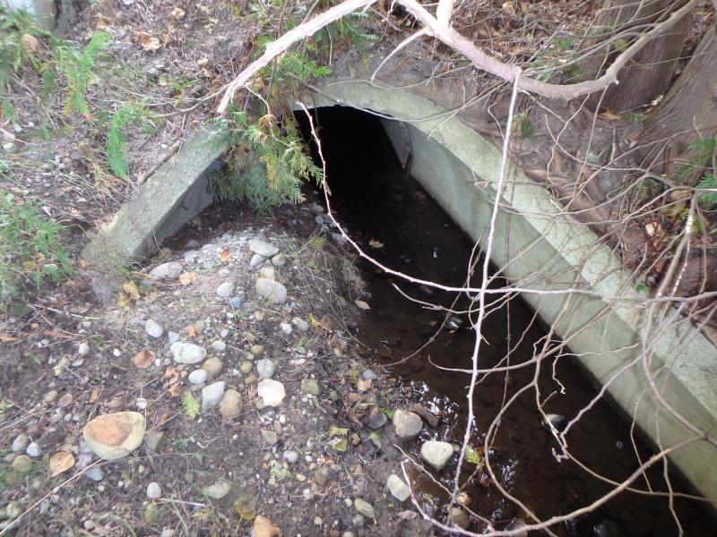
Inlet
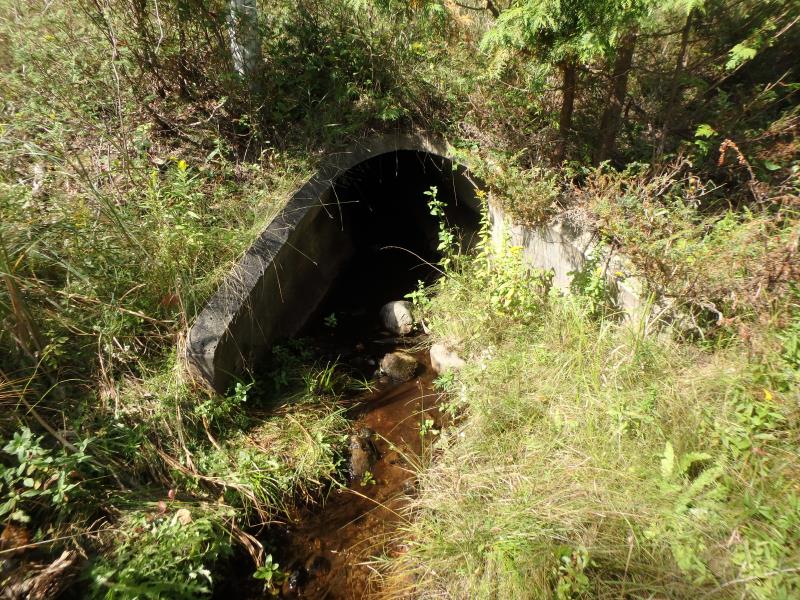
Outlet
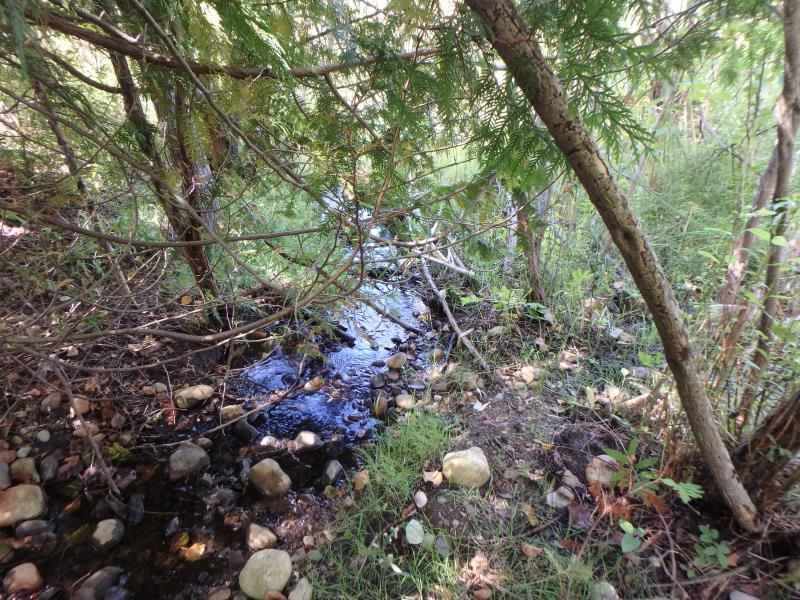
Upstream Conditions
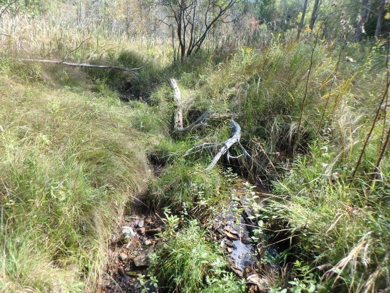
Downstream Conditions
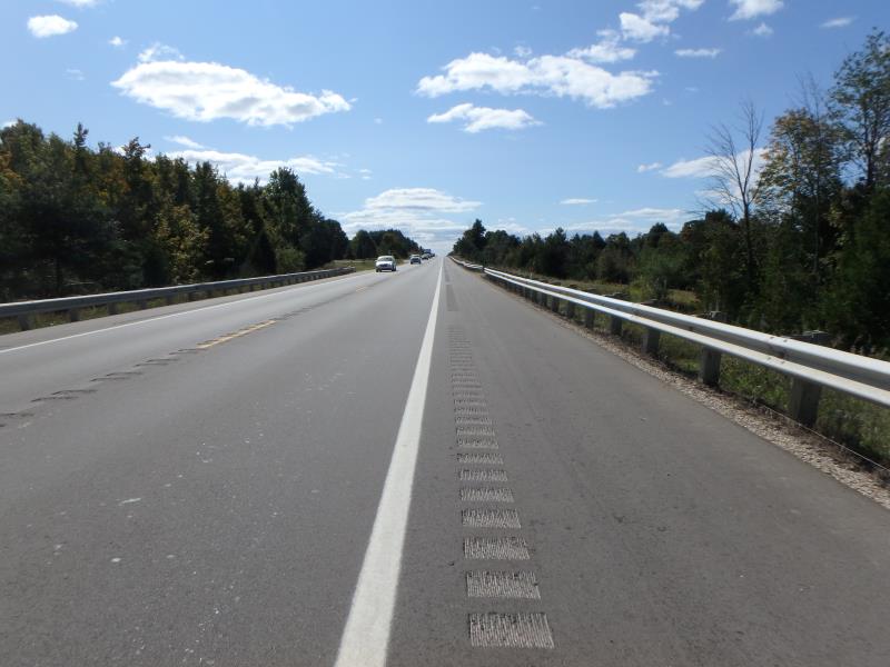
Road Approach - Left
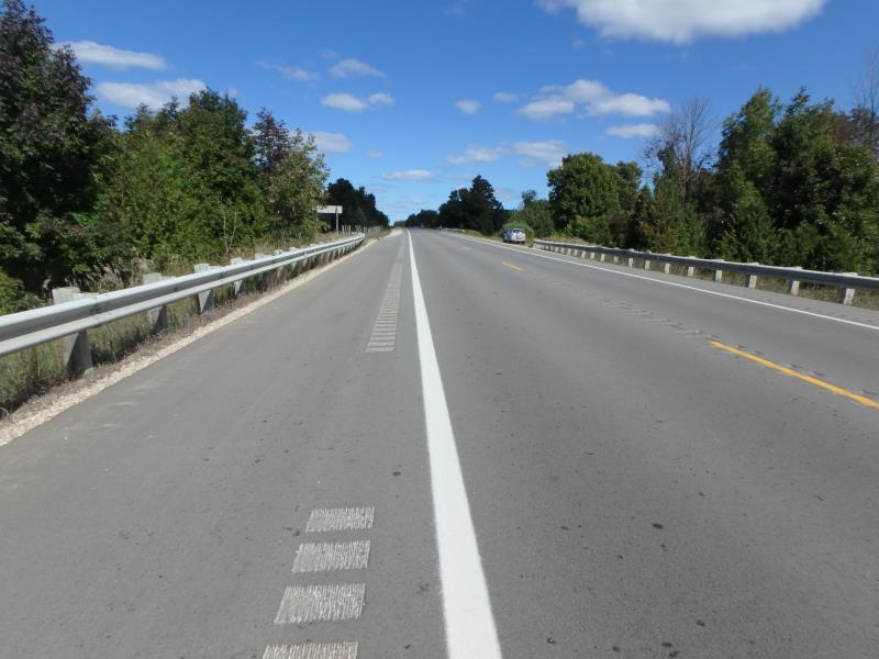
Road Approach - Right
Crossing Information
Type of Crossing: culvert(s)
Structure Shape: Round
Inlet Type: Apron
Outlet Type: Outlet Apron
Structure Material: Concrete
Structure Substrate: Mixture
General Conditions: Good
Structure Interior: smooth
Dimensions of Structure: Length 150 ft.
, Width 3.5 ft.
, Height 3.5 ft.
Structure Inlet
Water Depth: 0.1 ft.
Embedded Depth of Structure: 0.1 ft.
Water Velocity*: 0.1 ft./sec.
Structure Outlet
Water Depth: 0.2 ft.
Embedded Depth of Structure: 0.1 ft.
Water Velocity*: 0.1 ft./sec.
*Water Velocities were measured at the Surface
(with Float Test)
Additional Comments
Landowner says stream is flashy during heavy rains. Downstream embankment washed out 2 years ago.
Stream Information
Stream Flow: Less than 1/2 Bankfull
Riffle Information
Water Depth: 0.1 ft.
Bankfull Width: 2.6 ft.
Wetted Width: 1.9 ft.
Water Velocity: 0.5 ft./sec.
(Measured with Float Test)
Dominant Substrate: Gravel
Road Information
Paved
Federal Road
Road Condition: Good
Road Width at Culvert: 43 ft.
Location of Low Point: At Stream
Runoff Path: Ditch
Embankments
Upstream
Fill Depth: 20 ft.
Slope: 1:1.5
Downstream
Fill Depth: 20 ft.
Slope: 1:1.5
Approaches
Left Approach
Length: 500 ft.
Slope: 1% to 5%
Vegetation: Partial
LS Factor: 0.64
Erosion: 0.4549 tons/year
Right Approach
Length: 500 ft.
Slope: 1% to 5%
Vegetation: Partial
LS Factor: 0.64
Erosion: 0.4549 tons/year
Erosion Information
Total Erosion at Crossing: 0.9098 tons/year
Summary Information
Fish Passability 0.5
These non-native species were observerd at this site: Spotted Knapweed, Queen Anne's Lace
�