Road Stream Crossing Site GTBAY_GCN010
East Bay Shoreline & Tributaries Watershed, Guyer Creek North
Timberlane Drive
Banks Twp,
Antrim County
Information collected by:
Site Location
GPS Coordinates: 45.144821
, -85.376964
T32N
R9W
Sec 26
Owned by Private
Fish Passability 0
Perch Height: 0.1 ft.
Total Erosion: 0.3873 tons/year
Severity: Severe
Year Inventoried: 2020
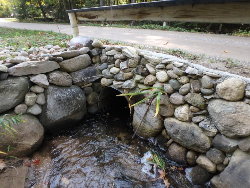
Inlet
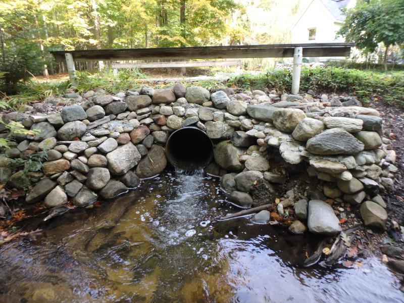
Outlet
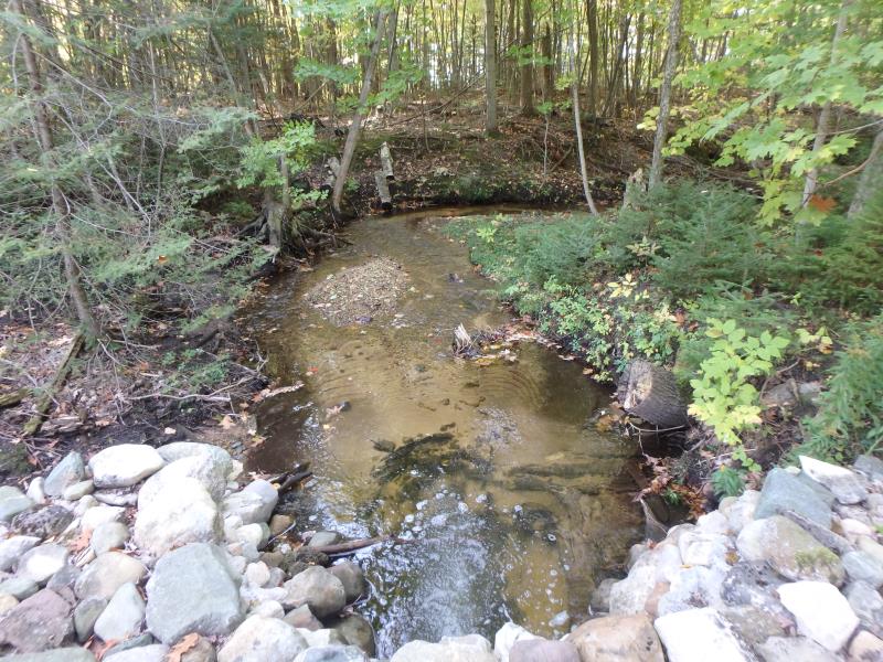
Upstream Conditions
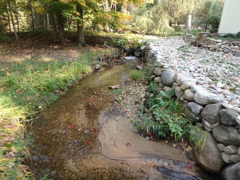
Downstream Conditions
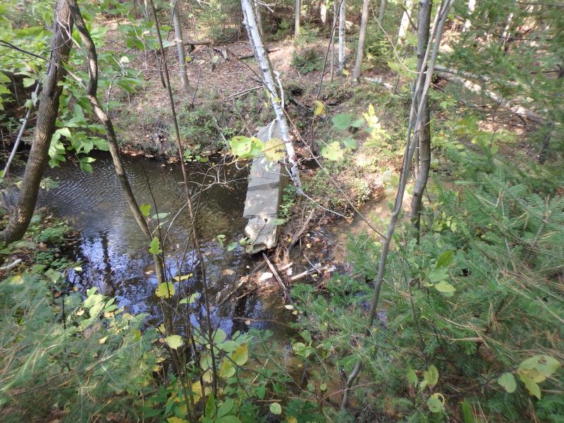
Downstream Conditions
Road Approach - Left
Road Approach - Right
Crossing Information
Type of Crossing: culvert(s)
Structure Shape: Round
Inlet Type: Mitered
Outlet Type: Freefall into Pool
Structure Material: Metal
Structure Substrate: None
General Conditions: Good
Structure Interior: corrugated
Dimensions of Structure: Length 20 ft.
, Width 2 ft.
, Height 2 ft.
Perch Height: 0.1 ft.
Structure Inlet
Water Depth: 0.5 ft.
Embedded Depth of Structure: 0 ft.
Water Velocity*: 2.4 ft./sec.
Structure Outlet
Water Depth: 0.3 ft.
Embedded Depth of Structure: 0 ft.
Water Velocity*: 5 ft./sec.
*Water Velocities were measured 0.2 ft. below Surface
(with Meter)
Stream Information
Stream Flow: Less than 1/2 Bankfull
Scour Pool: Length 12 ft.
, Width 10.5 ft.
, Depth 1.7 ft.
Riffle Information
Water Depth: 0.3 ft.
Bankfull Width: 6 ft.
Wetted Width: 4.6 ft.
Water Velocity: 1.6 ft./sec.
(Measured with Meter)
Dominant Substrate: Cobble
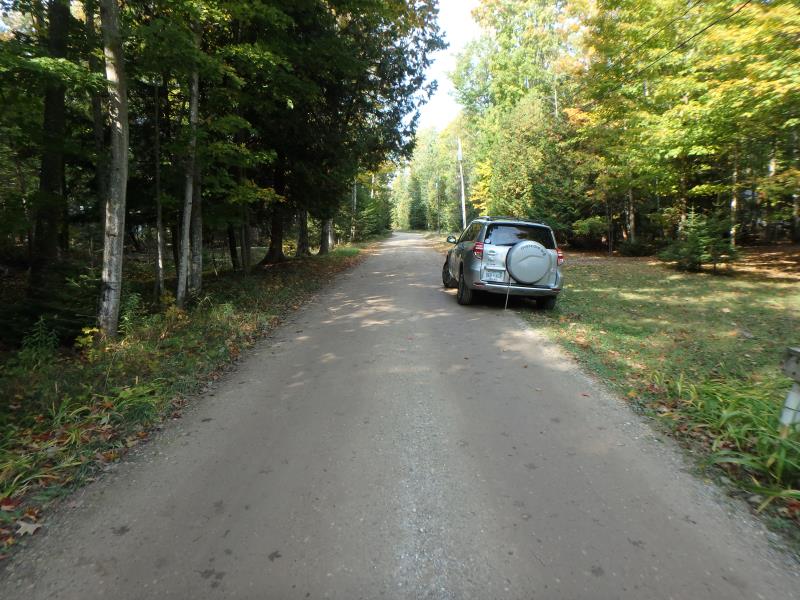
Road Information
Gravel
Private Road
Road Condition: Good
Road Width at Culvert: 12 ft.
Location of Low Point: Other
Runoff Path: Ditch
Embankments
Upstream
Fill Depth: 1.4 ft.
Slope: Vertical
Downstream
Fill Depth: 1.7 ft.
Slope: Vertical
Approaches
Left Approach
Length: 230 ft.
Slope: 1% to 5%
Vegetation: Partial
LS Factor: 0.504
Erosion: 0.3832 tons/year
Right Approach
Length: 25 ft.
Slope: Less Than 1%
Vegetation: Partial
LS Factor: 0.05
Erosion: 0.0041 tons/year
Erosion Information
Total Erosion at Crossing: 0.3873 tons/year
Summary Information
Fish Passability 0
�