Road Stream Crossing Site GTBAY_GCN013
East Bay Shoreline & Tributaries Watershed, Guyer Creek North
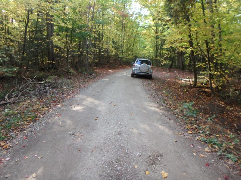
White Pine Drive
Banks Twp,
Antrim County
Information collected by:
Site Location
GPS Coordinates: 45.140626
, -85.37429
T32N
R9W
Sec 26
Owned by Private
Perch Height: 0.8 ft.
Total Erosion: 0.1279 tons/year
Severity: Minor
Year Inventoried: 2020
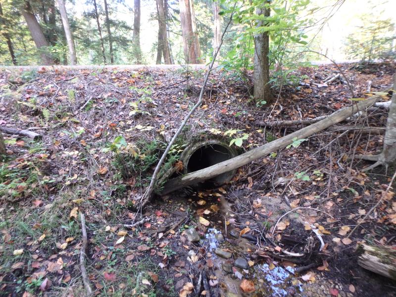
Inlet
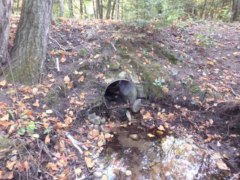
Outlet
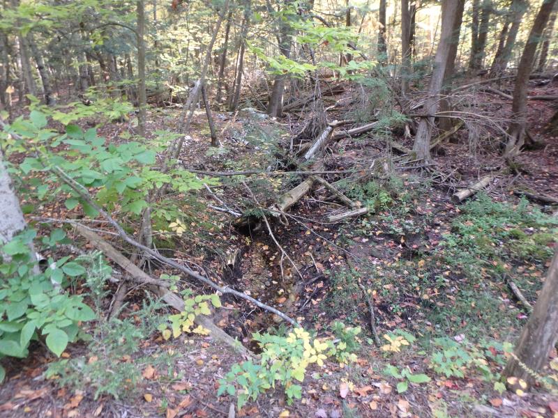
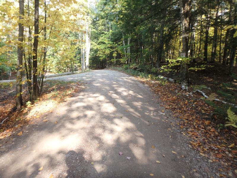
Upstream Conditions
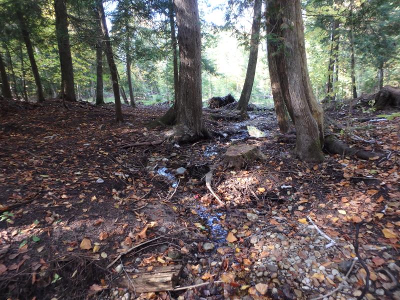
Downstream Conditions
Road Approach - Left
Road Approach - Right
Crossing Information
Type of Crossing: culvert(s)
Structure Shape: Round
Inlet Type: Projecting
Outlet Type: Other
Structure Material: Concrete
Structure Substrate: None
General Conditions: Good
Structure Interior: smooth
Structure is Rusted through
Dimensions of Structure: Length 25 ft.
, Width 2 ft.
, Height 2 ft.
Percentage Crushed:
Outlet: 1% to 25%
Perch Height: 0.8 ft.
Structure Inlet
Water Depth: 0.1 ft.
Embedded Depth of Structure: 0 ft.
Water Velocity*: 0 ft./sec.
Water Depth: 0 ft.
Embedded Depth of Structure: 0 ft.
Water Velocity*: 0 ft./sec.
Stream Information
Stream Flow: Less than 1/2 Bankfull
Road Information
Gravel
Private Road
Road Condition: Fair
Road Width at Culvert: 12 ft.
Location of Low Point: At Stream
Runoff Path: Ditch
Embankments
Upstream
Fill Depth: 2.3 ft.
Slope: More than 1:2
Downstream
Fill Depth: 3.2 ft.
Slope: 1:1.5
Approaches
Left Approach
Length: 40 ft.
Slope: 1% to 5%
Vegetation: Partial
LS Factor: 0.292
Erosion: 0.0386 tons/year
Right Approach
Length: 75 ft.
Slope: 1% to 5%
Vegetation: Partial
LS Factor: 0.36
Erosion: 0.0893 tons/year
Erosion Information
Total Erosion at Crossing: 0.1279 tons/year
Summary Information
�