Road Stream Crossing Site GTBAY_KC005
Boardman River Watershed, Kids Creek
7th Street
Traverse City,
Grand Traverse County
Information collected by:
Site Location
GPS Coordinates: 44.760389971
, -85.639822902
T27N
R11W
Sec 04
Owned by Private
Fish Passability 1
Total Erosion: 1.7257 tons/year
Severity: Restored
Year Inventoried: 2020
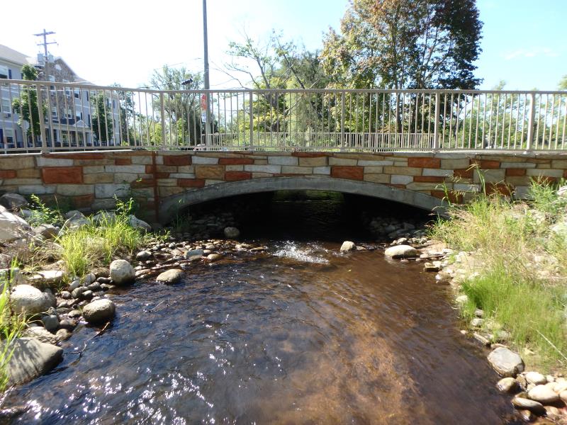
Inlet
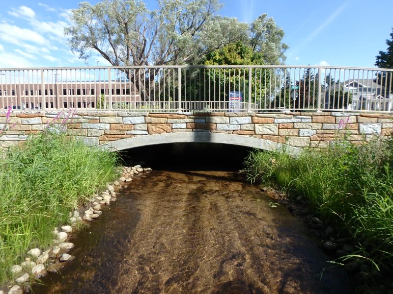
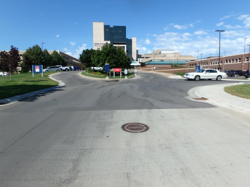
Outlet
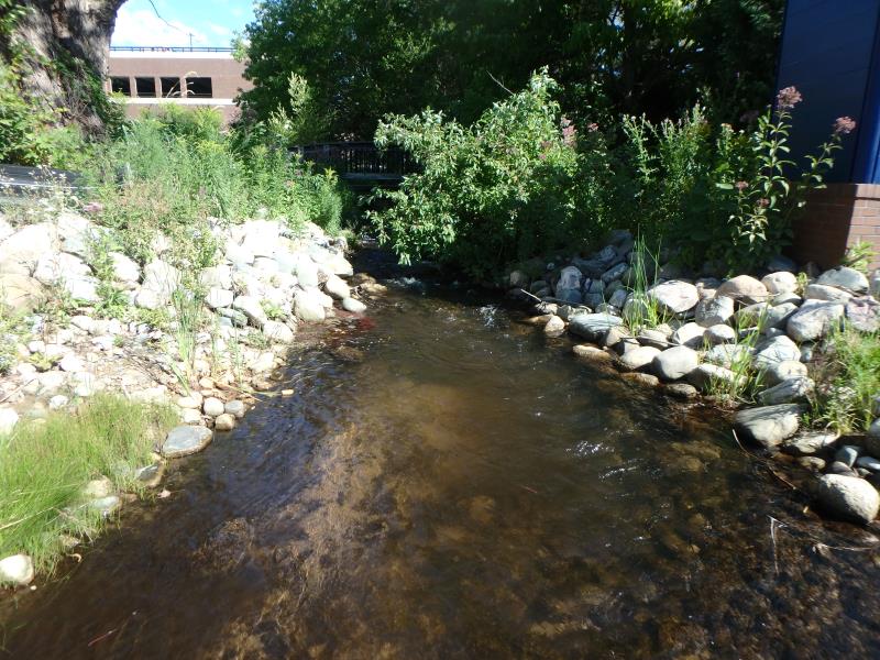
Upstream Conditions
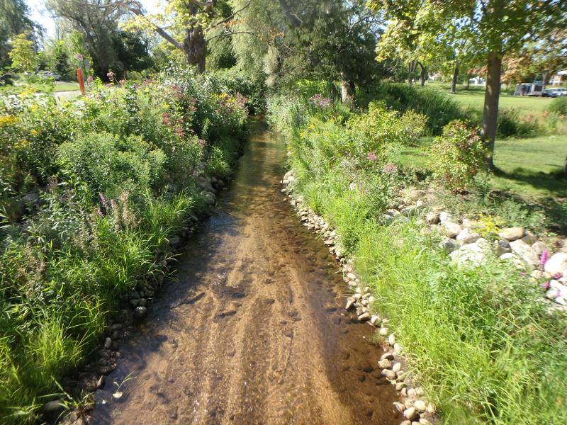
Downstream Conditions
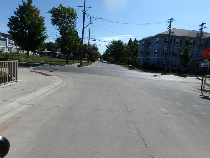
Road Approach - Left
Road Approach - Right
Crossing Information
Type of Crossing: Bridge
Structure Shape: Open Bottom Arch
Inlet Type: Wingwall 10-30 Degree
Outlet Type: At Stream Grade
Structure Material: Concrete
Structure Substrate: Rock
General Conditions: New
Structure Interior: smooth
Dimensions of Structure: Length 42.5 ft.
, Width 17 ft.
, Height 3.2 ft.
Structure Inlet
Water Depth: 0.8 ft.
Embedded Depth of Structure: 0 ft.
Water Velocity*: 1.7 ft./sec.
Structure Outlet
Water Depth: 0.5 ft.
Embedded Depth of Structure: 0 ft.
Water Velocity*: 1.2 ft./sec.
*Water Velocities were measured 0.2 ft. below Surface
(with Meter)
Stream Information
Stream Flow: Less than 1/2 Bankfull
Riffle Information
Water Depth: 0.6 ft.
Bankfull Width: 9.9 ft.
Wetted Width: 7.8 ft.
Water Velocity: 1.1 ft./sec.
(Measured with Meter)
Dominant Substrate: Organics
Road Information
Paved
Town Road
Road Condition: Good
Road Width at Culvert: 33 ft.
Location of Low Point: Other
Runoff Path: Roadway
Embankments
Upstream
Fill Depth: 1.35 ft.
Slope: Less than 1:2
Downstream
Fill Depth: 1.3 ft.
Slope: Less than 1:2
Approaches
Left Approach
Length: 30 ft.
Slope: Less Than 1%
Vegetation: heavy
LS Factor: 0.05
Erosion: 0.0016 tons/year
Right Approach
Length: 504.9 ft.
Slope: 6% to 10%
Vegetation: heavy
LS Factor: 3.13
Erosion: 1.7241 tons/year
Erosion Information
Total Erosion at Crossing: 1.7257 tons/year
Summary Information
Fish Passability 1
These non-native species were observerd at this site: Forget-me-nots, Queen Anne's Lace
�