Road Stream Crossing Site GTBAY_KC006
Boardman River Watershed, Kids Creek
Elmwood Ave
Traverse City,
Grand Traverse County
Information collected by:
Site Location
GPS Coordinates: 44.759815726
, -85.639746208
T27N
R11W
Sec 04
Owned by Local Government
Private
Private
Fish Passability 0
Total Erosion: 0.4395 tons/year
Severity: Severe
Year Inventoried: 2020
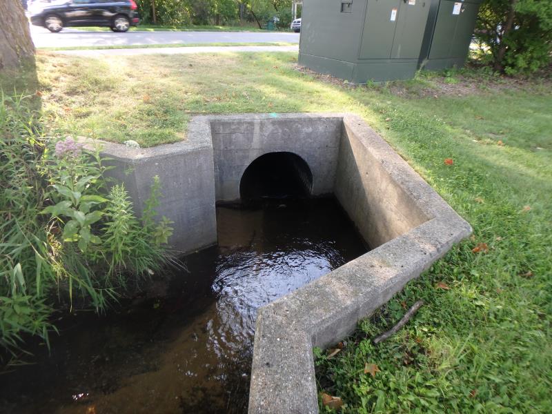
Inlet
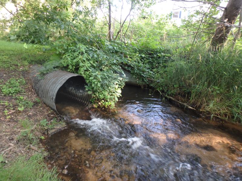
Outlet
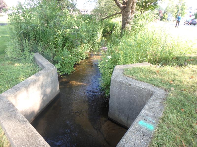
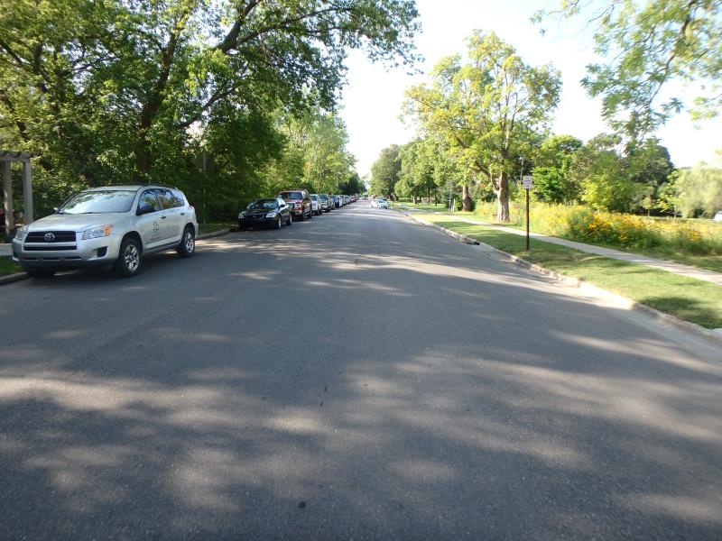
Upstream Conditions
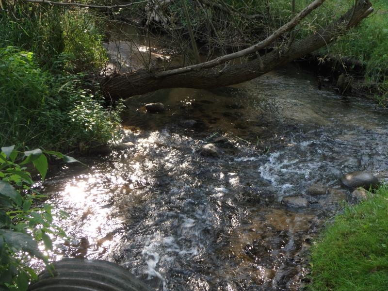
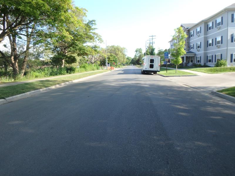
Downstream Conditions
Road Approach - Left
Road Approach - Right
Crossing Information
Type of Crossing: culvert(s)
Number of Structures: 2
Structure Shape: Round
Inlet Type: Headwall
Outlet Type: At Stream Grade
Structure Material: Metal
Structure Substrate: Sand
General Conditions: Fair
Multiple Culverts/Spans | ||||
Culvert/Span | Width | Length | Height | Material |
1 |
2.5 ft. |
128.6 ft. |
2.5 ft. |
Metal |
2 |
3 ft. |
111 ft. |
3 ft. |
Metal |
Structure Interior: corrugated
Dimensions of Structure: Length 118.5 ft.
, Width 2.5 ft.
, Height 2.5 ft.
Structure Inlet
Water Depth: 0.8 ft.
Embedded Depth of Structure: 0 ft.
Water Velocity*: 1.9 ft./sec.
Structure Outlet
Water Depth: 0.3 ft.
Embedded Depth of Structure: 0 ft.
Water Velocity*: 5.7 ft./sec.
*Water Velocities were measured 0.2 ft. below Surface
(with Meter)
Additional Comments
Water depth and velocity measurements recorded for culvert #2
Stream Information
Stream Flow: Less than 1/2 Bankfull
Scour Pool: Length 12.7 ft.
, Width 15.9 ft.
, Depth 0.6 ft.
Riffle Information
Water Depth: 0.7 ft.
Bankfull Width: 10 ft.
Wetted Width: 8 ft.
Water Velocity: 0.7 ft./sec.
(Measured with Meter)
Dominant Substrate: Sand
Road Information
Paved
Town Road
Road Condition: Good
Road Width at Culvert: 35 ft.
Location of Low Point: Other
Runoff Path: Roadway
Embankments
Upstream
Fill Depth: 1 ft.
Slope: Vertical
Downstream
Fill Depth: 0.5 ft.
Slope: Less than 1:2
Approaches
Left Approach
Length: 500 ft.
Slope: 1% to 5%
Vegetation: Partial
LS Factor: 0.64
Erosion: 0.3702 tons/year
Right Approach
Length: 50 ft.
Slope: Less Than 1%
Vegetation: Partial
LS Factor: 0.05
Erosion: 0.0029 tons/year
Erosion Information
Total Erosion at Crossing: 0.4395 tons/year
Extent of Erosion: Moderate
Erosion is occurring and corrective actions can be installed to address the problem.
Location of Erosion | Erosion Dimensions | Eroded Material | Material Eroded | Total Erosion | ||
facing downstream | Length | Width | Depth | Reaching Stream? | (tons/year) | |
Left Downstream Embankment |
2.6 ft. |
10 ft. |
3.8 ft. |
yes |
Sandy Loam |
0.0664 |
Summary Information
Fish Passability 0
Erosion is an area of concern for this site.
These non-native species were observerd at this site: Queen Anne's Lace
�