Road Stream Crossing Site GTBAY_KC007
Boardman River Watershed, Kids Creek
Elmwood Ave
Traverse City,
Grand Traverse County
Information collected by:
Site Location
GPS Coordinates: 44.757910436
, -85.63998702
T27N
R11W
Sec 09
Owned by Local Government
Fish Passability 0.9
Total Erosion: 0.6322 tons/year
Severity: Moderate
Year Inventoried: 2020
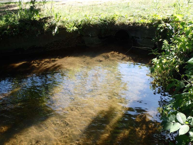
Inlet
Outlet
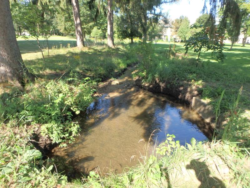
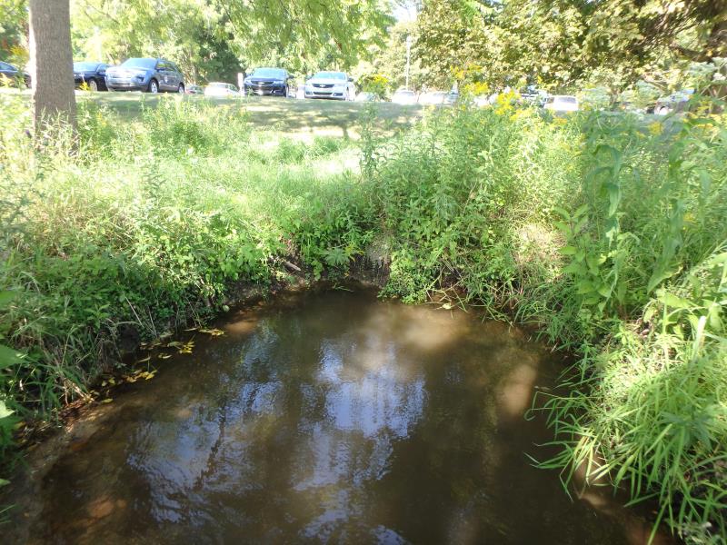
Upstream Conditions
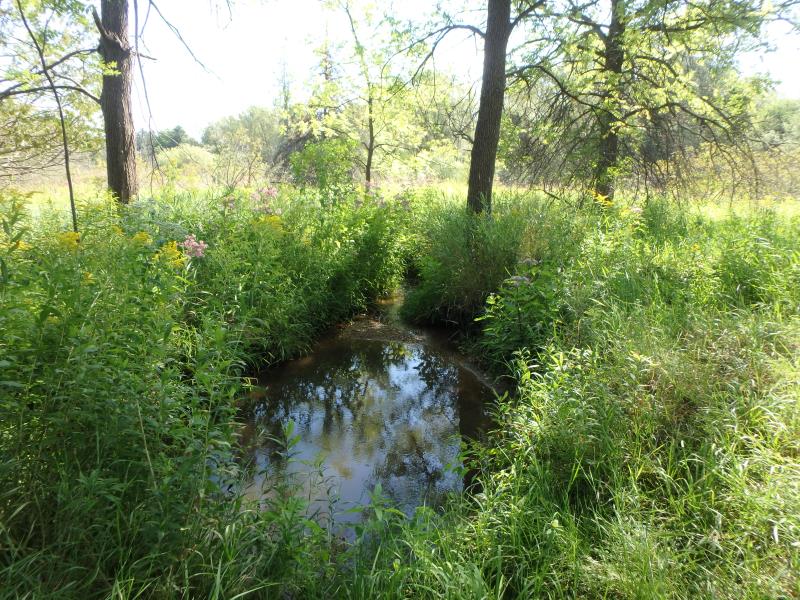
Downstream Conditions
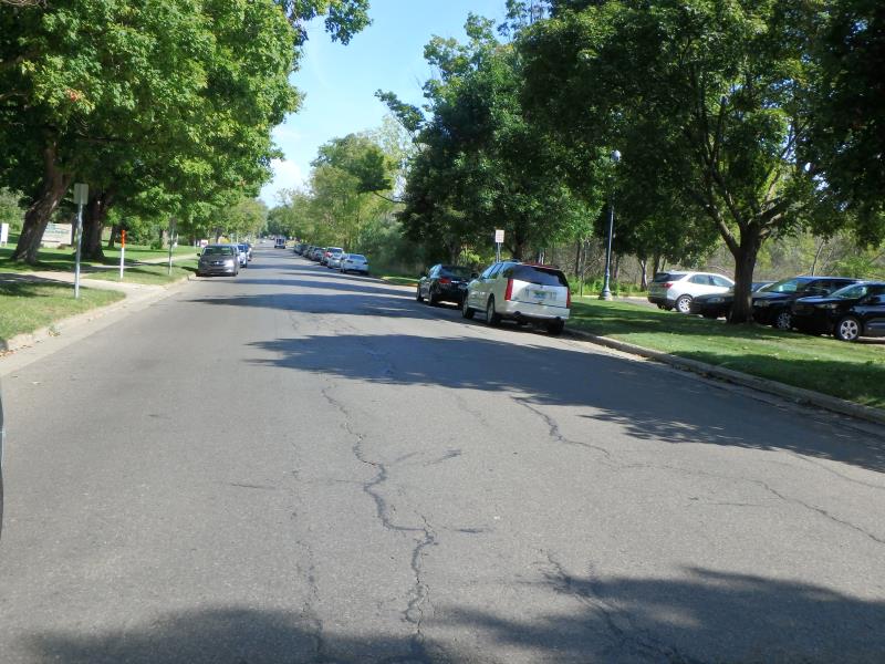
Road Approach - Left
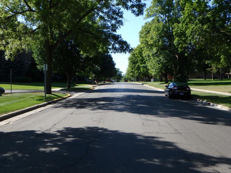
Road Approach - Right
Crossing Information
Type of Crossing: culvert(s)
Number of Structures: 1
Structure Shape: Round
Inlet Type: Headwall
Outlet Type: At Stream Grade
Structure Material: Concrete
Structure Substrate: Mixture
General Conditions: Fair
Structure Interior: smooth
Dimensions of Structure: Length 205.4 ft.
, Width 1.5 ft.
, Height 1.5 ft.
Structure Inlet
Water Depth: 0.3 ft.
Embedded Depth of Structure: 0.1 ft.
Water Velocity*: 0.7 ft./sec.
Structure Outlet
Water Depth: 0.9 ft.
Embedded Depth of Structure: 0.8 ft.
Water Velocity*: 0.5 ft./sec.
*Water Velocities were measured 0.1 ft. below Surface
(with Meter)
Stream Information
Stream Flow: Less than 1/2 Bankfull
Scour Pool: Length 10.5 ft.
, Width 7.6 ft.
, Depth 1.4 ft.
Upstream Pond: Length 20.2 ft.
, Width 11.9 ft.
, Depth 1.4 ft.
Riffle Information
Water Depth: 0.2 ft.
Bankfull Width: 7.1 ft.
Wetted Width: 4.8 ft.
Water Velocity: 1.2 ft./sec.
(Measured with Meter)
Dominant Substrate: Sand
Road Information
Paved
Town Road
Road Condition: Fair
Road Width at Culvert: 36.3 ft.
Location of Low Point: Other
Runoff Path: Roadway
Embankments
Upstream
Fill Depth: 0.8 ft.
Slope: Less than 1:2
Downstream
Fill Depth: 3.7 ft.
Slope: Less than 1:2
Approaches
Left Approach
Length: 25 ft.
Slope: Less Than 1%
Vegetation: None
LS Factor: 0.05
Erosion: 0.0015 tons/year
Right Approach
Length: 564.3 ft.
Slope: 1% to 5%
Vegetation: None
LS Factor: 0.931
Erosion: 0.6307 tons/year
Erosion Information
Total Erosion at Crossing: 0.6322 tons/year
Summary Information
Fish Passability 0.9
Fish Passage is an area of concern for this site.
�