Road Stream Crossing Site GTBAY_KC011
Boardman River Watershed, Kids Creek
Seasonal Access Road
Traverse City,
Grand Traverse County
Information collected by:
Site Location
GPS Coordinates: 44.751336426
, -85.639962712
T27N
R11W
Sec 09
Owned by Local Government
Fish Passability 1
Total Erosion: 5.9229 tons/year
Severity: Severe
Year Inventoried: 2020
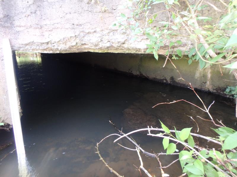
Inlet
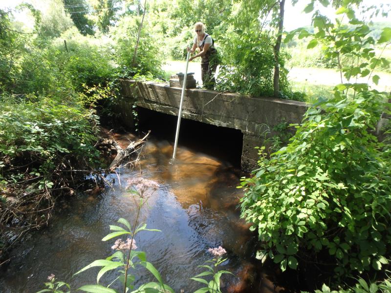
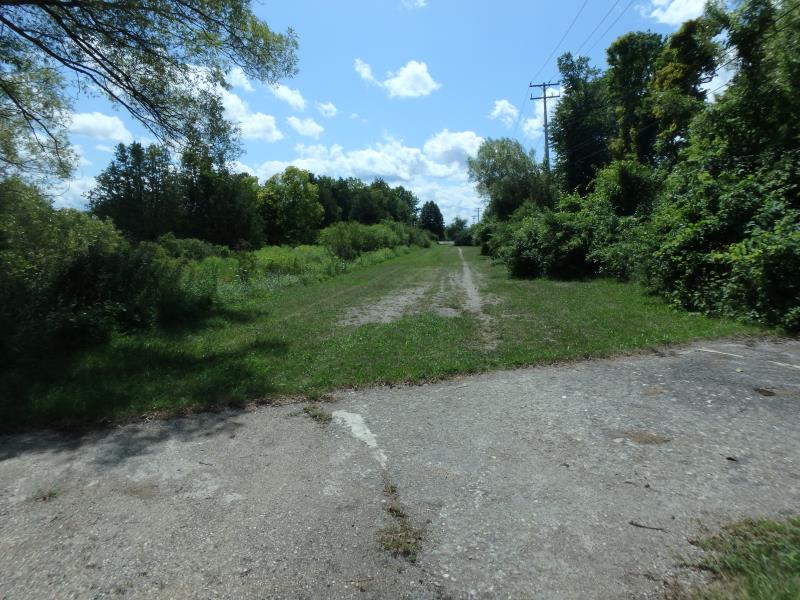
Outlet
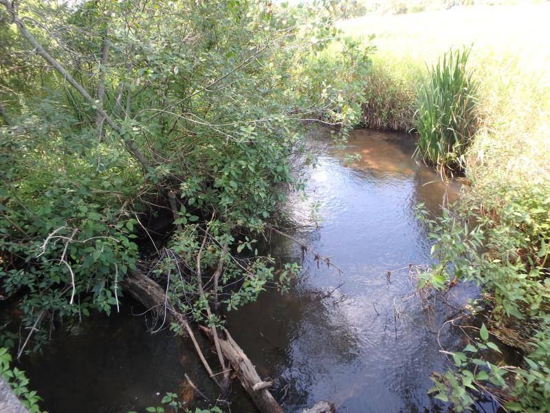
Upstream Conditions
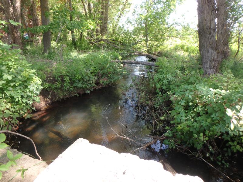
Downstream Conditions
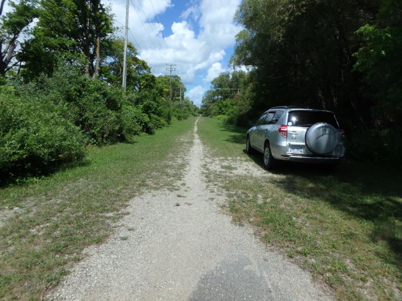
Road Approach - Left
Road Approach - Right
Crossing Information
Type of Crossing: culvert(s)
Structure Shape: Open Bottom Square/Rectangle
Inlet Type: Headwall
Outlet Type: At Stream Grade
Structure Material: Concrete
Structure Substrate: Sand
General Conditions: Good
Structure Interior: smooth
Dimensions of Structure: Length 73 ft.
, Width 12 ft.
, Height 4 ft.
Structure Inlet
Water Depth: 1.6 ft.
Embedded Depth of Structure: 0 ft.
Water Velocity*: 0.6 ft./sec.
Structure Outlet
Water Depth: 1 ft.
Embedded Depth of Structure: 0 ft.
Water Velocity*: 0.8 ft./sec.
*Water Velocities were measured 0.8 ft. below Surface
(with Meter)
Stream Information
Stream Flow: Less than 1/2 Bankfull
Upstream Pond: Length 10 ft.
, Width 15 ft.
Riffle Information
Water Depth: 0.7 ft.
Bankfull Width: 16 ft.
Wetted Width: 14 ft.
Water Velocity: 1.4 ft./sec.
(Measured with Meter)
Dominant Substrate: Sand
Road Information
Native Surface
Other Road
(Seasonal)
Road Condition: Poor
Road Width at Culvert: 43 ft.
Location of Low Point: At Stream
Runoff Path: Ditch
Embankments
Upstream
Fill Depth: 0.5 ft.
Slope: Vertical
Downstream
Fill Depth: 0.5 ft.
Slope: Vertical
Approaches
Left Approach
Length: 500 ft.
Slope: 1% to 5%
Vegetation: Heavy
LS Factor: 0.5
Erosion: 2.9614 tons/year
Right Approach
Length: 500 ft.
Slope: 1% to 5%
Vegetation: Heavy
LS Factor: 0.5
Erosion: 2.9614 tons/year
Erosion Information
Total Erosion at Crossing: 5.9229 tons/year
Summary Information
Fish Passability 1
�