Road Stream Crossing Site GTBAY_KC020
Boardman River Watershed, Kids Creek
Cedar Street
Traverse City,
Grand Traverse County
Information collected by:
Site Location
GPS Coordinates: 44.76324912
, -85.63663585
T27N
R11W
Sec 04
Owned by Private
Fish Passability 0.9
Total Erosion: 0.1874 tons/year
Severity: Moderate
Year Inventoried: 2020
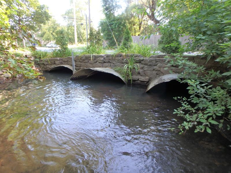
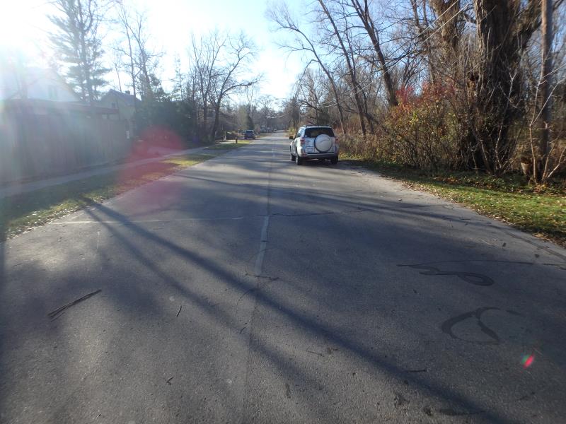
Inlet
Outlet
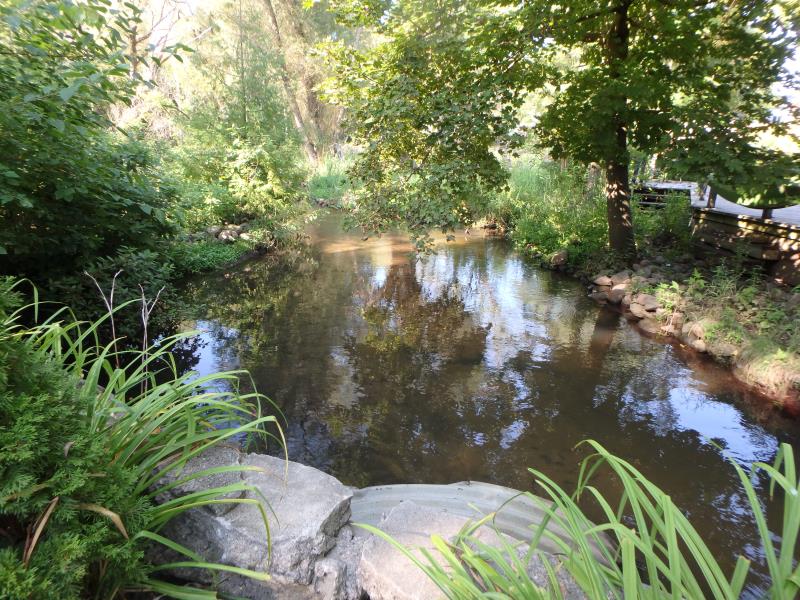
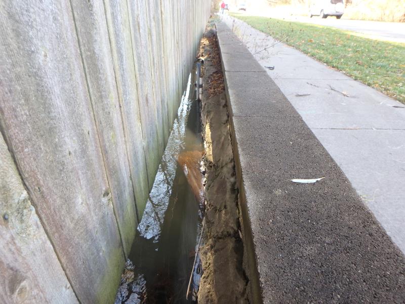
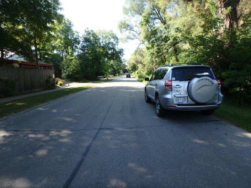
Upstream Conditions
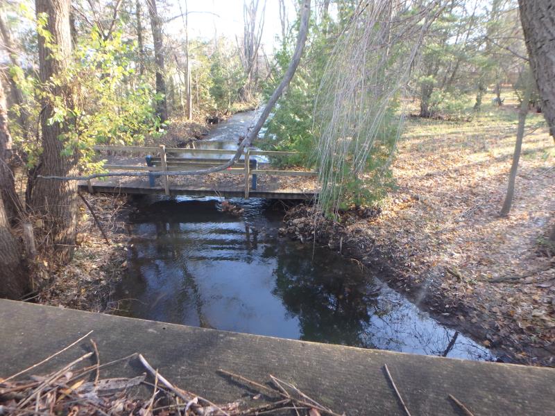
Downstream Conditions

Road Approach - Left
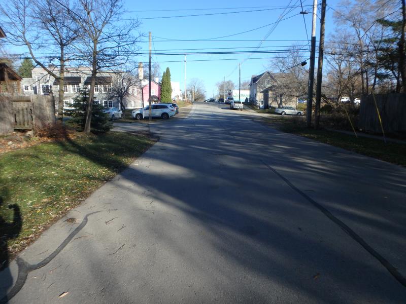
Road Approach - Left
Road Approach - Right
Road Approach - Right
Crossing Information
Type of Crossing: culvert(s)
Number of Structures: 3
Structure Shape: Ellipse
Inlet Type: Projecting
Outlet Type: At Stream Grade
Structure Material: Metal
Structure Substrate: Mixture
General Conditions: Poor
Multiple Culverts/Spans | ||||
Culvert/Span | Width | Length | Height | Material |
1 |
6 ft. |
56.8 ft. |
4.1 ft. |
Metal |
2 |
6 ft. |
59.3 ft. |
4.1 ft. |
Metal |
3 |
6 ft. |
59.7 ft. |
4.1 ft. |
Metal |
Structure Interior: corrugated
Dimensions of Structure: Length 58.6 ft.
, Width 6 ft.
, Height 4.1 ft.
Structure Inlet
Water Depth: 2.5 ft.
Embedded Depth of Structure: 2.7 ft.
Water Velocity*: 0.1 ft./sec.
Structure Outlet
Water Depth: 2.7 ft.
Embedded Depth of Structure: 1.3 ft.
Water Velocity*: 0.1 ft./sec.
*Water Velocities were measured 2.3 ft. below Surface
(with Meter)
Stream Information
Stream Flow: Less than 1/2 Bankfull
Riffle Information
Water Depth: 1.1 ft.
Bankfull Width: 29.1 ft.
Wetted Width: 25.4 ft.
Water Velocity: 2 ft./sec.
(Measured with Meter)
Dominant Substrate: Sand
Road Information
Paved
Town Road
Road Condition: Fair
Road Width at Culvert: 23.9 ft.
Location of Low Point: Other
Runoff Path: Roadway
Embankments
Upstream
Fill Depth: 3 ft.
Slope: Vertical
Downstream
Fill Depth: 3 ft.
Slope: Vertical
Approaches
Left Approach
Length: 296 ft.
Slope: 1% to 5%
Vegetation: Partial
LS Factor: 0.548
Erosion: 0.1281 tons/year
Right Approach
Length: 0 ft.
Slope: Less Than 1%
Vegetation: Partial
LS Factor: 0.05
Erosion: 0 tons/year
Erosion Information
Total Erosion at Crossing: 0.1874 tons/year
Extent of Erosion: Moderate
Location of Erosion | Erosion Dimensions | Eroded Material | Material Eroded | Total Erosion | ||
facing downstream | Length | Width | Depth | Reaching Stream? | (tons/year) | |
Right Upstream Embankment |
9.8 ft. |
0.7 ft. |
0.9 ft. |
yes |
Sandy Loam |
0.0593 |
Summary Information
Fish Passability 0.9
Erosion is an area of concern for this site.
�