Road Stream Crossing Site GTBAY_KC023
Boardman River Watershed, Kids Creek
Division
Traverse City,
Grand Traverse County
Information collected by:
Site Location
GPS Coordinates: 44.764853
, -85.63469041
T27N
R11W
Sec 04
Owned by Private
Fish Passability 0
Total Erosion: 0.2733 tons/year
Severity: Severe
Year Inventoried: 2020
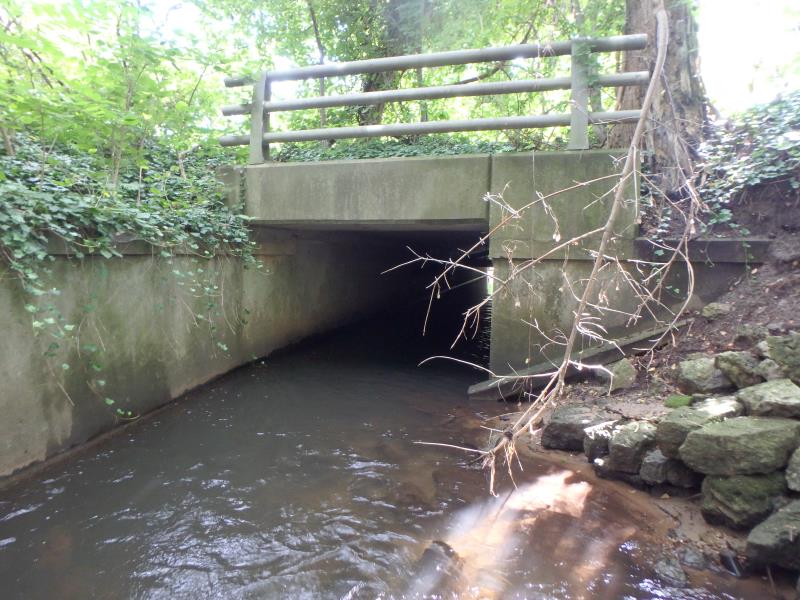
Inlet
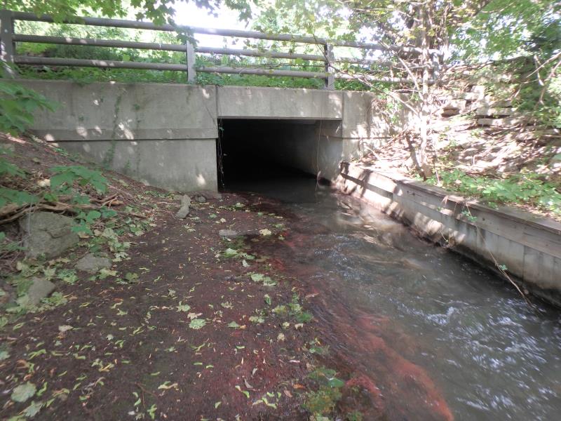
Outlet
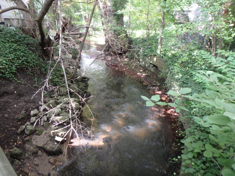
Upstream Conditions
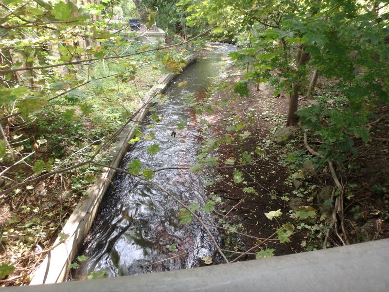
Downstream Conditions
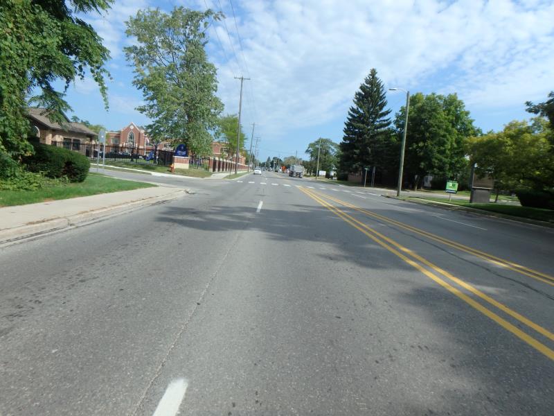
Road Approach - Left
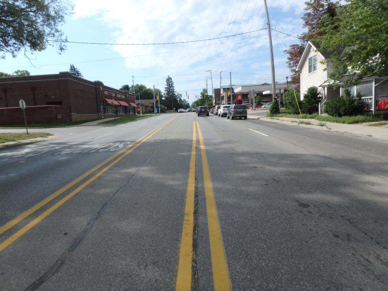
Road Approach - Right
Crossing Information
Type of Crossing: Bridge
Structure Shape: Open Bottom Square/Rectangle
Inlet Type: Wingwall 10-30 Degree
Outlet Type: At Stream Grade
Structure Material: Concrete
Structure Substrate: Mixture
General Conditions: Good
Structure Interior: smooth
Dimensions of Structure: Length 150.9 ft.
, Width 7.9 ft.
, Height 5.8 ft.
Percentage Plugged:
Outlet: 1% to 25%
Structure Inlet
Water Depth: 3.2 ft.
Embedded Depth of Structure: 0 ft.
Water Velocity*: 1.7 ft./sec.
Structure Outlet
Water Depth: 1.4 ft.
Embedded Depth of Structure: 0 ft.
Water Velocity*: 3.3 ft./sec.
*Water Velocities were measured 1.3 ft. below Surface
(with Meter)
Stream Information
Stream Flow: Less than 1/2 Bankfull
Riffle Information
Water Depth: 1.2 ft.
Bankfull Width: 12.1 ft.
Wetted Width: 9.5 ft.
Water Velocity: 4.1 ft./sec.
(Measured with Meter)
Dominant Substrate: Organics
Road Information
Paved
Town Road
Road Condition: Fair
Road Width at Culvert: 61.9 ft.
Location of Low Point: Other
Runoff Path: Roadway
Embankments
Upstream
Fill Depth: 3 ft.
Slope: 1:1.5
Downstream
Fill Depth: 4 ft.
Slope: 1:1.5
Approaches
Left Approach
Length: 25 ft.
Slope: Less Than 1%
Vegetation: None
LS Factor: 0.05
Erosion: 0.0026 tons/year
Right Approach
Length: 220.8 ft.
Slope: 1% to 5%
Vegetation: None
LS Factor: 0.599
Erosion: 0.2707 tons/year
Erosion Information
Total Erosion at Crossing: 0.2733 tons/year
Summary Information
Fish Passability 0
�