Road Stream Crossing Site GTBAY_KC026
Boardman River Watershed, Kids Creek
Hall Street
Traverse City,
Grand Traverse County
Information collected by:
Site Location
GPS Coordinates: 44.76349337
, -85.62880497
T27N
R11W
Sec 03
Owned by Private
Fish Passability 1
Structure is NOT Perched
Total Erosion: 0.5594 tons/year
Severity: Minor
Year Inventoried: 2020
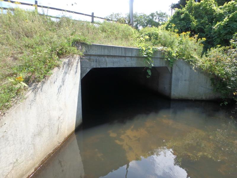
Inlet
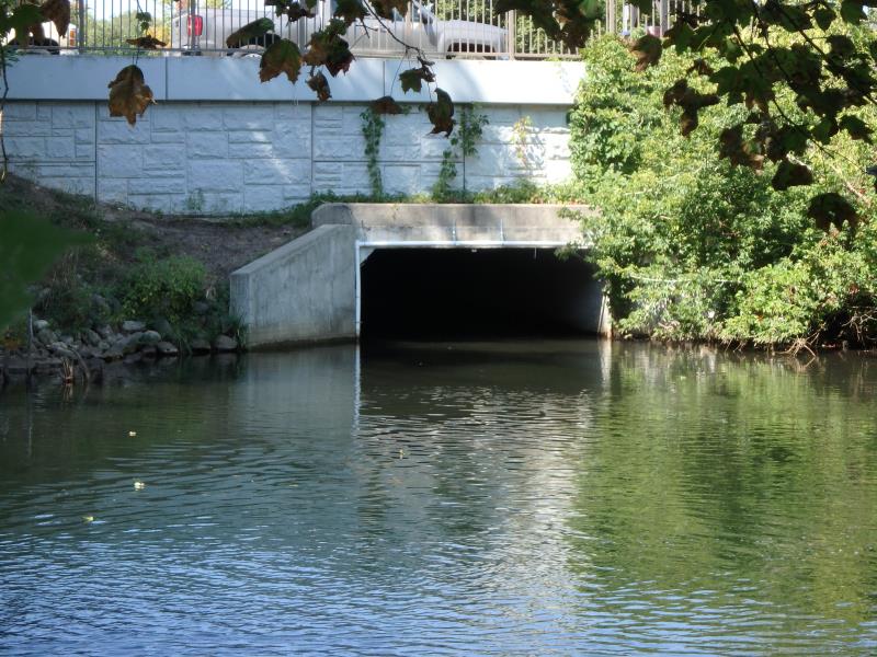
Outlet
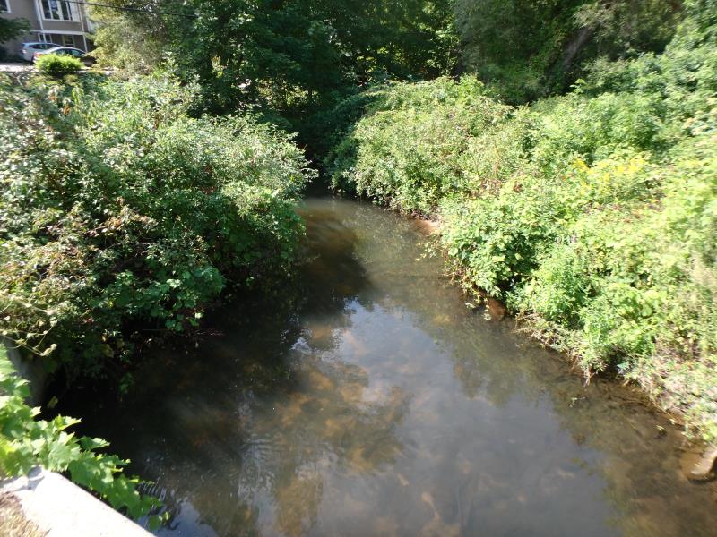
Upstream Conditions
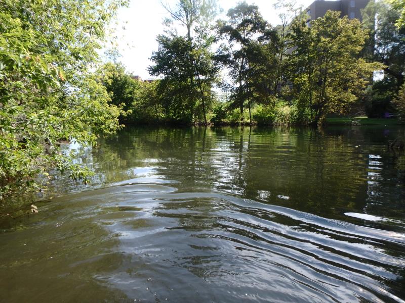
Downstream Conditions
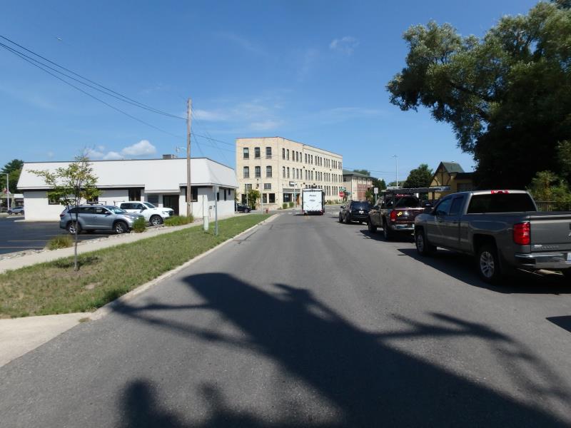
Road Approach - Left
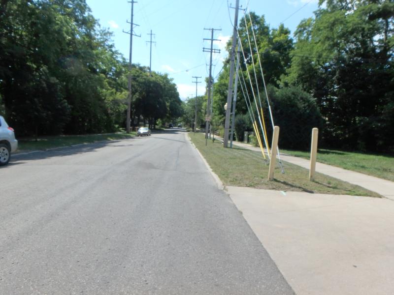
Road Approach - Right
Crossing Information
Type of Crossing: Bridge
Structure Shape: Square/Rectangle
Inlet Type: Wingwall 10-30 Degree
Outlet Type: Freefall onto Riprap
Structure Material: Concrete
Structure Substrate: Sand
General Conditions: Good
Structure Interior: smooth
Dimensions of Structure: Length 198.4 ft.
, Width 12.4 ft.
, Height 6 ft.
Structure is NOT Perched
Structure Inlet
Water Depth: 1.5 ft.
Embedded Depth of Structure: 0 ft.
Water Velocity*: 1 ft./sec.
Structure Outlet
Water Depth: 2 ft.
Embedded Depth of Structure: 0 ft.
Water Velocity*: 0.7 ft./sec.
*Water Velocities were measured 0.8 ft. below Surface
(with Meter)
Additional Comments
Flagged for perched culvert. No perch observed. Change severity to Minor.
Stream Information
Stream Flow: Less than 1/2 Bankfull
Riffle Information
Water Depth: 1.6 ft.
Bankfull Width: 16.9 ft.
Wetted Width: 13.6 ft.
Water Velocity: 0.9 ft./sec.
(Measured with Meter)
Dominant Substrate: Cobble
Road Information
Paved
Town Road
Road Condition: Good
Road Width at Culvert: 27.1 ft.
Location of Low Point: Other
Runoff Path: Roadway
Embankments
Upstream
Fill Depth: 6 ft.
Slope: 1:1.5
Downstream
Fill Depth: 8.5 ft.
Slope: Vertical
Approaches
Left Approach
Length: 25 ft.
Slope: Less Than 1%
Vegetation: None
LS Factor: 0.05
Erosion: 0.0011 tons/year
Right Approach
Length: 633.6 ft.
Slope: 1% to 5%
Vegetation: None
LS Factor: 0.984
Erosion: 0.5583 tons/year
Erosion Information
Total Erosion at Crossing: 0.5594 tons/year
Summary Information
Fish Passability 1
These non-native species were observerd at this site: Spotted Knapweed
�