Road Stream Crossing Site GTBAY_LEE007
West Bay Shoreline & Tributaries Watershed, Unnamed
Carter Rd
Elmwood Twp,
Leelanau County
Information collected by:
Site Location
GPS Coordinates: 44.78093402
, -85.64587019
T28N
R11W
Sec 33
Owned by Private
Fish Passability 0
Perch Height: 0.1 ft.
Total Erosion: 1.3138 tons/year
Severity: Severe
Year Inventoried: 2020

Inlet

Outlet

Upstream Conditions

Downstream Conditions
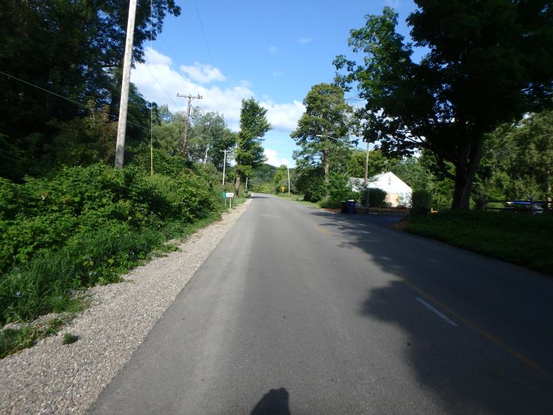
Road Approach - Left
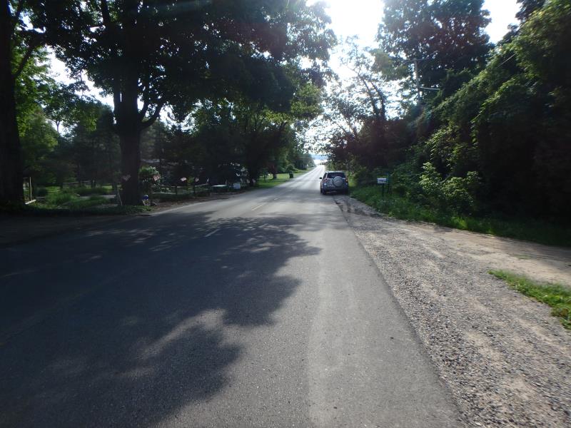
Road Approach - Right
Crossing Information
Type of Crossing: culvert(s)
Number of Structures: 1
Structure Shape: Round
Inlet Type: Projecting
Outlet Type: Freefall into Pool
Structure Material: Metal
Structure Substrate: Gravel
General Conditions: Good
Structure Interior: corrugated
Dimensions of Structure: Length 67.8 ft.
, Width 1.6 ft.
, Height 1.6 ft.
Perch Height: 0.1 ft.
Structure Inlet
Water Depth: 0.15 ft.
Embedded Depth of Structure: 0 ft.
Water Velocity*: 0.4 ft./sec.
Structure Outlet
Water Depth: 0.1 ft.
Embedded Depth of Structure: 0 ft.
Water Velocity*: 2.4 ft./sec.
*Water Velocities were measured at the Surface
(with Meter)
Stream Information
Stream Flow: Less than 1/2 Bankfull
Riffle Information
Water Depth: 0.15 ft.
Bankfull Width: 6.1 ft.
Wetted Width: 2 ft.
Water Velocity: 1.4 ft./sec.
(Measured with Meter)
Dominant Substrate: Cobble
Road Information
Paved
Town Road
Road Condition: Fair
Road Width at Culvert: 22.7 ft.
Location of Low Point: Other
Runoff Path: Roadway
Embankments
Upstream
Fill Depth: 1.3 ft.
Slope: 1:2
Downstream
Fill Depth: 1.8 ft.
Slope: Vertical
Approaches
Left Approach
Length: 673 ft.
Slope: 6% to 10%
Vegetation: Partial
LS Factor: 2.601
Erosion: 1.3138 tons/year
Right Approach
Length: 0 ft.
Slope: Less Than 1%
Vegetation: Partial
LS Factor: 0.05
Erosion: 0 tons/year
Erosion Information
Total Erosion at Crossing: 1.3138 tons/year
Summary Information
Fish Passability 0
These non-native species were observerd at this site: Money Plant
�