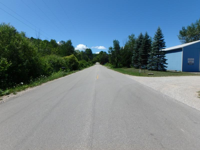
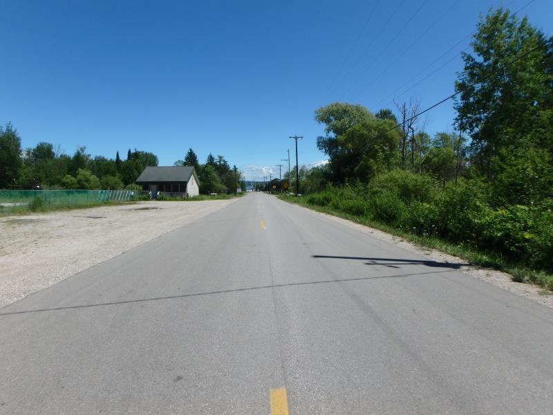
Road Stream Crossing Site GTBAY_LEE008
West Bay Shoreline & Tributaries Watershed, Unnamed
Carter Rd
Elmwood Twp,
Leelanau County
Information collected by:
Site Location
GPS Coordinates: 44.78064702
, -85.64279622
T28N
R11W
Sec 33
Owned by Local Government
Private
Private
Severity: Severe
Year Inventoried: 2020
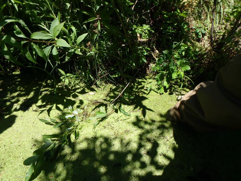
Inlet
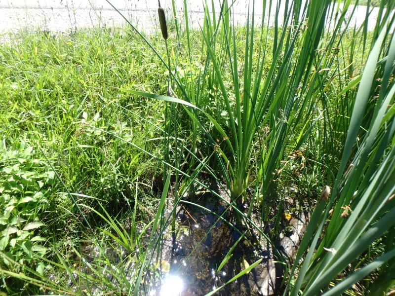
Outlet
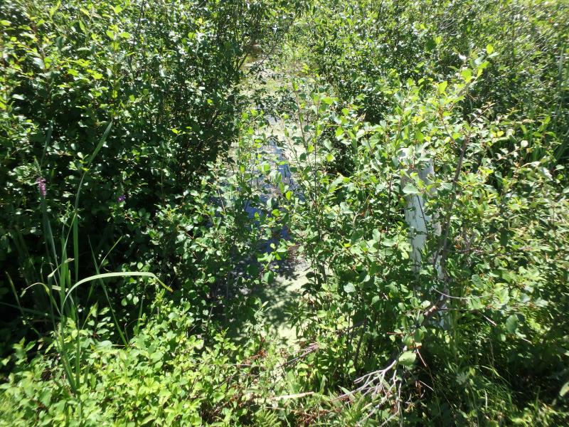
Upstream Conditions
Downstream Conditions
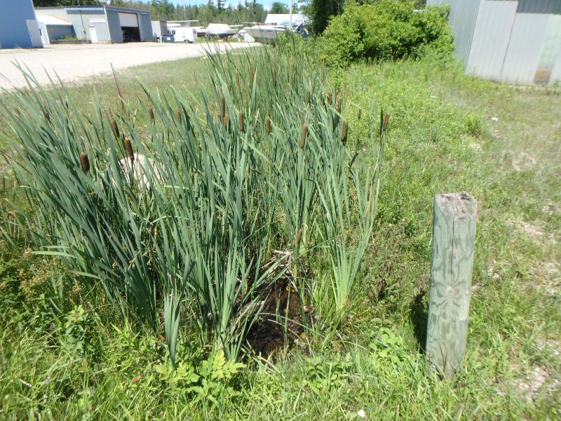
Road Approach - Left
Road Approach - Right
Crossing Information
Type of Crossing: culvert(s)
Number of Structures: 1
Structure Shape: Round
Inlet Type: Projecting
Outlet Type: At Stream Grade
Structure Material: Metal
Structure Substrate: Mixture
General Conditions: Poor
Structure Interior: corrugated
Structure is Rusted through
Dimensions of Structure: Length 40.6 ft.
, Width 1.5 ft.
, Height 1.5 ft.
Percentage Crushed:
Inlet: 76% to 100%
In Pipe: 0%
Structure Inlet
Water Depth: 0.4 ft.
Embedded Depth of Structure: 0.3 ft.
Water Velocity*: 0.5 ft./sec.
*Water Velocities were measured 0.2 ft. below Surface
(with Meter)
Additional Comments
Outlet isflooded/underwater
Stream Information
Stream Flow: Less than 1/2 Bankfull
Upstream Pond: Length 199 ft.
, Width 38 ft.
Riffle Information
Water Depth: 0.1 ft.
Bankfull Width: 8 ft.
Wetted Width: 2.1 ft.
Water Velocity: 3 ft./sec.
(Measured with Meter)
Dominant Substrate: Gravel
Road Information
Paved
Town Road
Road Condition: Fair
Road Width at Culvert: 28.3 ft.
Location of Low Point: Other
Runoff Path: Ditch
Embankments
Upstream
Fill Depth: 2.15 ft.
Slope: Vertical
Downstream
Fill Depth: 2.2 ft.
Slope: Vertical
Erosion Information
Summary Information
Fish Passage is an area of concern for this site.
Culvert is crushed and needs to be replaced
�