Road Stream Crossing Site GTBAY_LEE014
West Bay Shoreline & Tributaries Watershed, Unnamed
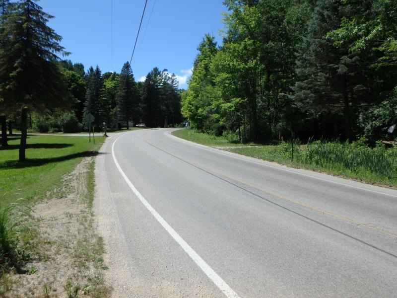
Grandview Rd
Elmwood Twp,
Leelanau County
Information collected by:
Site Location
GPS Coordinates: 44.78867336
, -85.65428671
T28N
R11W
Sec 32
Owned by Private
Fish Passability 0
Perch Height: 0.4 ft.
Total Erosion: 0.855 tons/year
Severity: Severe
Year Inventoried: 2020
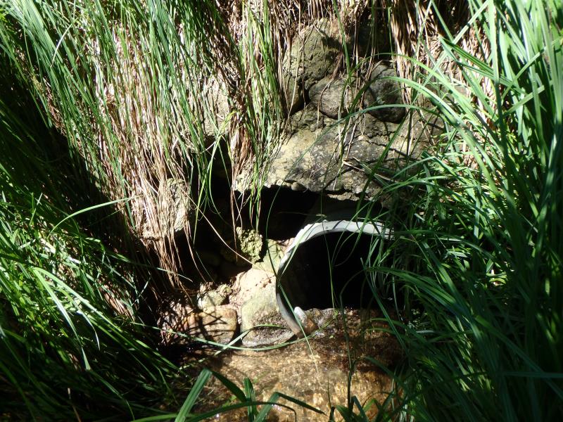
Inlet
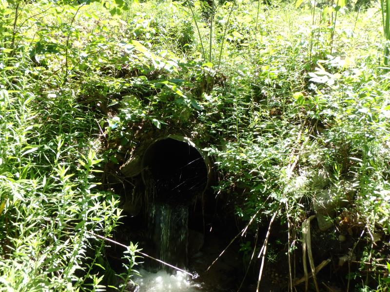
Outlet
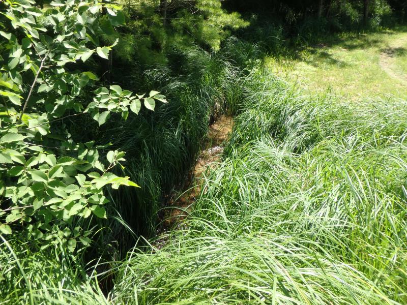
Upstream Conditions
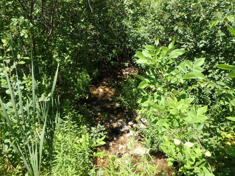
Downstream Conditions
Road Approach - Left
Road Approach - Right
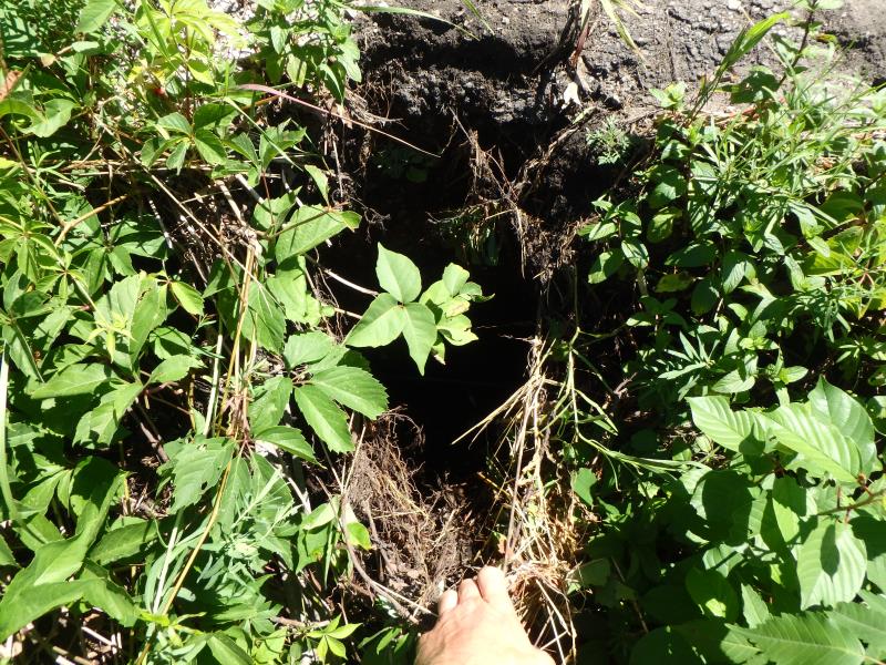
Erosion
Erosion
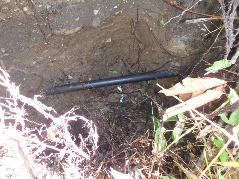
Crossing Information
Type of Crossing: culvert(s)
Number of Structures: 1
Structure Shape: Round
Inlet Type: Headwall
Outlet Type: Freefall into Pool
Structure Material: Metal
Structure Substrate: None
General Conditions: Fair
Structure Interior: corrugated
Dimensions of Structure: Length 51.3 ft.
, Width 1.9 ft.
, Height 2.1 ft.
Perch Height: 0.4 ft.
Structure Inlet
Water Depth: 0.2 ft.
Embedded Depth of Structure: 0 ft.
Water Velocity*: 4.4 ft./sec.
Structure Outlet
Water Depth: 1.9 ft.
Embedded Depth of Structure: 0 ft.
Water Velocity*: 8 ft./sec.
*Water Velocities were measured 0.1 ft. below Surface
(with Meter)
Stream Information
Stream Flow: Less than 1/2 Bankfull
Riffle Information
Water Depth: 0.1 ft.
Bankfull Width: 7.1 ft.
Wetted Width: 3.8 ft.
Water Velocity: 3.2 ft./sec.
(Measured with Meter)
Dominant Substrate: Gravel
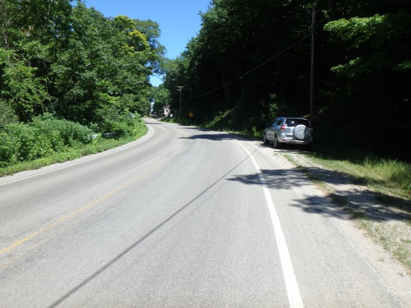
Road Information
Paved
Town Road
Road Condition: Fair
Road Width at Culvert: 27.9 ft.
Location of Low Point: Other
Runoff Path: Ditch
Embankments
Upstream
Fill Depth: 3.4 ft.
Slope: 1:1
Downstream
Fill Depth: 3.8 ft.
Slope: Vertical
Approaches
Left Approach
Length: 960 ft.
Slope: 1% to 5%
Vegetation: Partial
LS Factor: 0.79
Erosion: 0.6995 tons/year
Right Approach
Length: 25 ft.
Slope: Less Than 1%
Vegetation: Partial
LS Factor: 0.05
Erosion: 0.0012 tons/year
Erosion Information
Total Erosion at Crossing: 0.855 tons/year
Extent of Erosion: Severe
Erosion is occurring and corrective actions can be installed to address the problem.
Notes: Concrete beginning to erode
Location of Erosion | Erosion Dimensions | Eroded Material | Material Eroded | Total Erosion | ||
facing downstream | Length | Width | Depth | Reaching Stream? | (tons/year) | |
Left Upstream Embankment |
2.6 ft. |
2.2 ft. |
2.7 ft. |
yes |
Sand |
0.1544 |
Summary Information
Fish Passability 0
Erosion is an area of concern for this site.
Severe erosion/perched culvert
�