Road Stream Crossing Site GTBAY_LEE017
West Bay Shoreline & Tributaries Watershed, Belanger's Creek
Peshawbestown Rd
Leelanau Twp,
Leelanau County
Information collected by:
Site Location
GPS Coordinates: 45.03314246
, -85.62263413
T31N
R11W
Sec 35
Owned by Local Government
Private
Private
Fish Passability 0
Total Erosion: 0.0791 tons/year
Severity: Severe
Year Inventoried: 2020
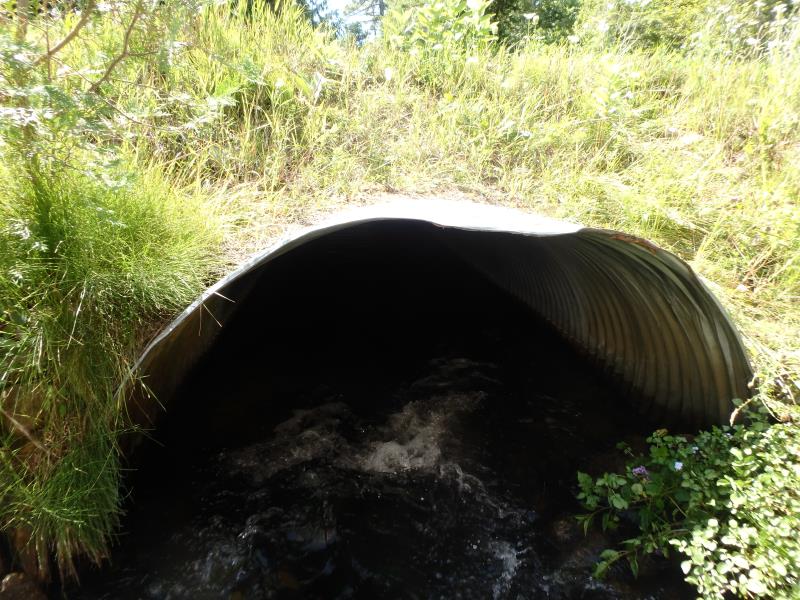
Inlet
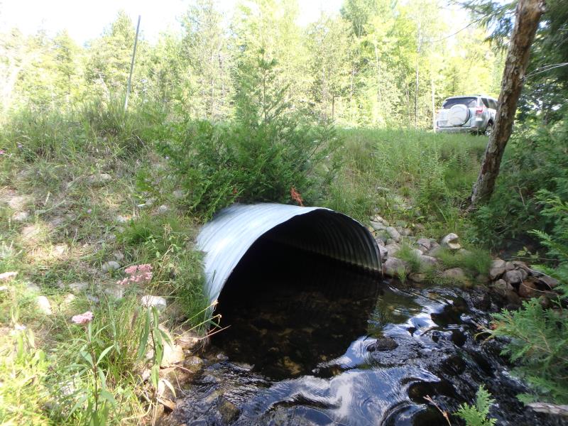
Outlet
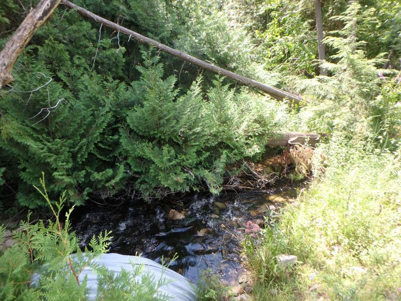
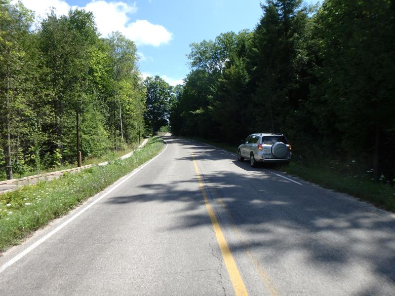
Upstream Conditions
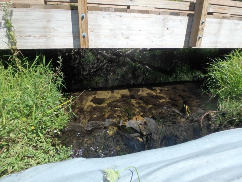
Downstream Conditions
Road Approach - Left
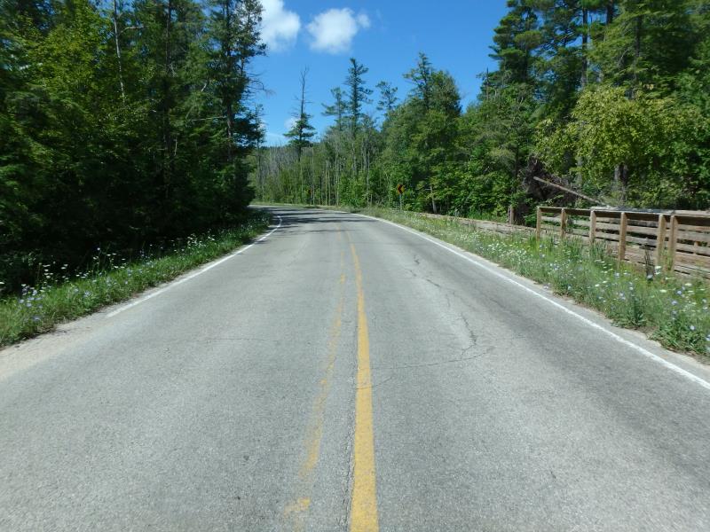
Road Approach - Right
Crossing Information
Type of Crossing: culvert(s)
Number of Structures: 1
Structure Shape: Ellipse
Inlet Type: Projecting
Outlet Type: At Stream Grade
Structure Material: Metal
Structure Substrate: Mixture
General Conditions: Good
Structure Interior: corrugated
Dimensions of Structure: Length 42.4 ft.
, Width 6 ft.
, Height 3.5 ft.
Structure Inlet
Water Depth: 0.4 ft.
Embedded Depth of Structure: 0 ft.
Water Velocity*: 3.5 ft./sec.
Structure Outlet
Water Depth: 0.8 ft.
Embedded Depth of Structure: 0.15 ft.
Water Velocity*: 1 ft./sec.
*Water Velocities were measured 0.8 ft. below Surface
(with Meter)
Stream Information
Stream Flow: Less than 1/2 Bankfull
Riffle Information
Water Depth: 0.1 ft.
Bankfull Width: 9.6 ft.
Wetted Width: 5.6 ft.
Water Velocity: 2.2 ft./sec.
(Measured with Meter)
Dominant Substrate: Cobble
Road Information
Paved
Town Road
Road Condition: Good
Road Width at Culvert: 21.5 ft.
Location of Low Point: At Stream
Runoff Path: Ditch
Embankments
Upstream
Fill Depth: 2.5 ft.
Slope: 1:1
Downstream
Fill Depth: 2.55 ft.
Slope: 1:1.5
Approaches
Left Approach
Length: 250 ft.
Slope: 1% to 5%
Vegetation: Heavy
LS Factor: 0.44
Erosion: 0.0782 tons/year
Right Approach
Length: 25 ft.
Slope: Less Than 1%
Vegetation: Heavy
LS Factor: 0.05
Erosion: 0.0009 tons/year
Erosion Information
Total Erosion at Crossing: 0.0791 tons/year
Summary Information
Fish Passability 0
These non-native species were observerd at this site: Spotted Knapweed, Bladder Campion, Purple Loosestrife
�