Road Stream Crossing Site GTBAY_LEE022
West Bay Shoreline & Tributaries Watershed, Belanger's Creek
McKeese
Suttons Bay Twp,
Leelanau County
Information collected by:
Site Location
GPS Coordinates: 45.01859383
, -85.63862622
T30N
R11W
Sec 09
Owned by Private
Fish Passability 0
Perch Height: 2 ft.
Total Erosion: 0.155 tons/year
Severity: Severe
Year Inventoried: 2020
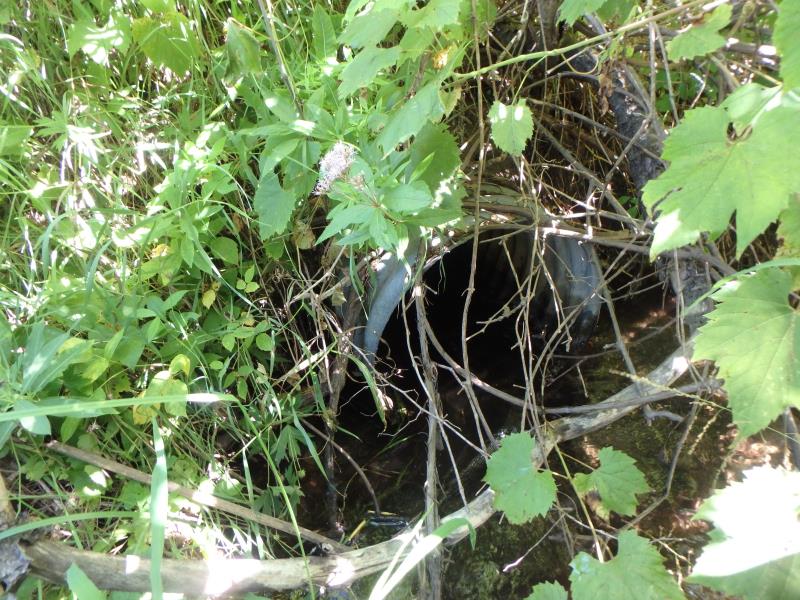
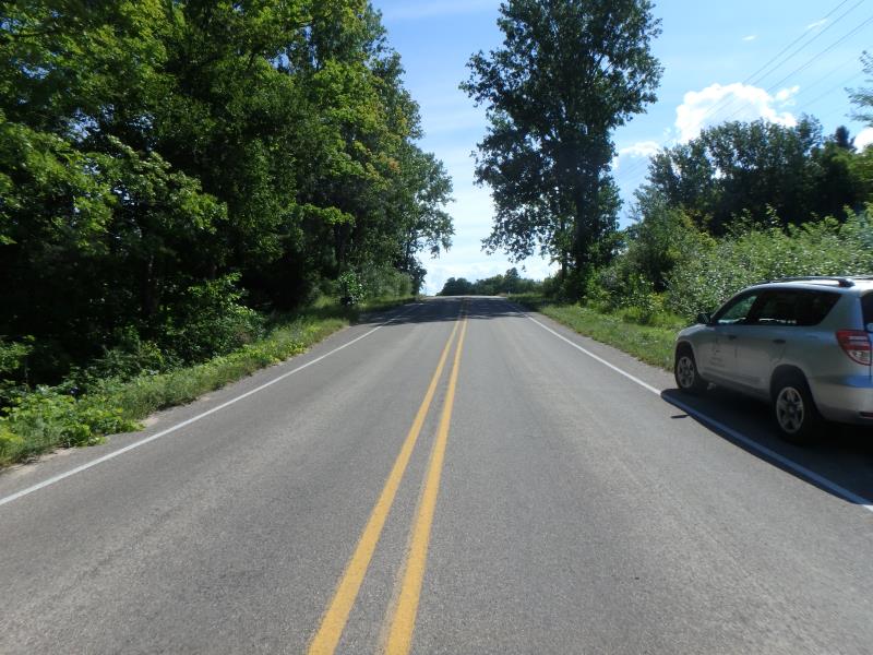
Inlet
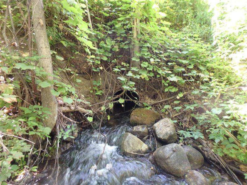
Outlet
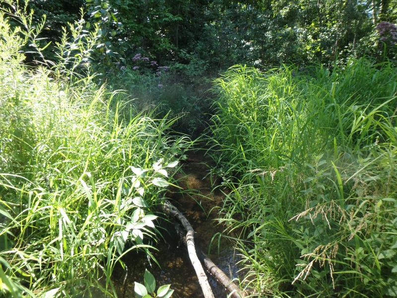
Upstream Conditions
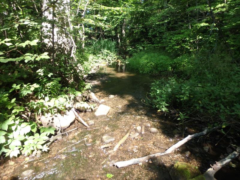
Downstream Conditions
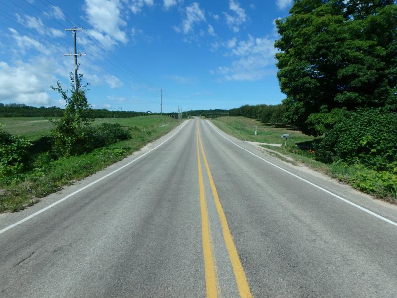
Road Approach - Left
Road Approach - Right
Crossing Information
Type of Crossing: culvert(s)
Number of Structures: 1
Structure Shape: Round
Inlet Type: Projecting
Outlet Type: At Stream Grade
Structure Material: Metal
Structure Substrate: None
General Conditions: Fair
Structure Interior: corrugated
Dimensions of Structure: Length 79 ft.
, Width 1.8 ft.
, Height 2 ft.
Perch Height: 2 ft.
Structure Inlet
Water Depth: 0.5 ft.
Embedded Depth of Structure: 0 ft.
Water Velocity*: 2.6 ft./sec.
Structure Outlet
Water Depth: 0.4 ft.
Embedded Depth of Structure: 0 ft.
Water Velocity*: 4.2 ft./sec.
*Water Velocities were measured 0.3 ft. below Surface
(with Meter)
Stream Information
Stream Flow: Less than 1/2 Bankfull
Riffle Information
Water Depth: 0.1 ft.
Bankfull Width: 18.8 ft.
Wetted Width: 13.3 ft.
Water Velocity: 0.7 ft./sec.
(Measured with Meter)
Dominant Substrate: Gravel
Road Information
Paved
Town Road
Road Condition: Fair
Road Width at Culvert: 27.5 ft.
Location of Low Point: Other
Embankments
Upstream
Fill Depth: 9.2 ft.
Slope: Vertical
Downstream
Fill Depth: 10.6 ft.
Slope: Vertical
Approaches
Left Approach
Length: 50 ft.
Slope: Less Than 1%
Vegetation: Heavy
LS Factor: 0.05
Erosion: 0.0023 tons/year
Right Approach
Length: 150 ft.
Slope: 6% to 10%
Vegetation: Heavy
LS Factor: 1.12
Erosion: 0.1527 tons/year
Erosion Information
Total Erosion at Crossing: 0.155 tons/year
Summary Information
Fish Passability 0
Fish Passage is an area of concern for this site.
Dam, rip rap that stream goes over
�