Road Stream Crossing Site GTBAY_LEE023
West Bay Shoreline & Tributaries Watershed, Belanger's Creek
Jacobson Rd
Suttons Bay Twp,
Leelanau County
Information collected by:
Site Location
GPS Coordinates: 45.01542899
, -85.64220931
T30N
R11W
Sec 09
Owned by Private
Fish Passability 0.5
Total Erosion: 0.2673 tons/year
Severity: Moderate
Year Inventoried: 2020
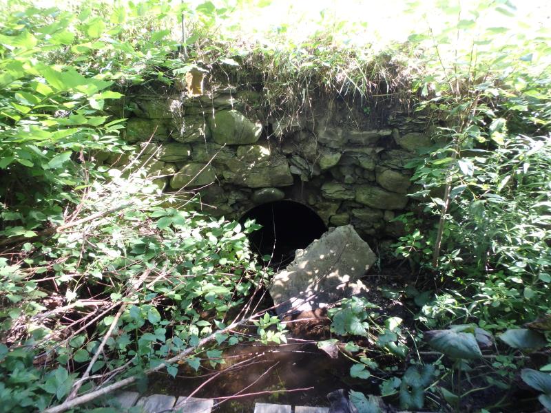
Inlet
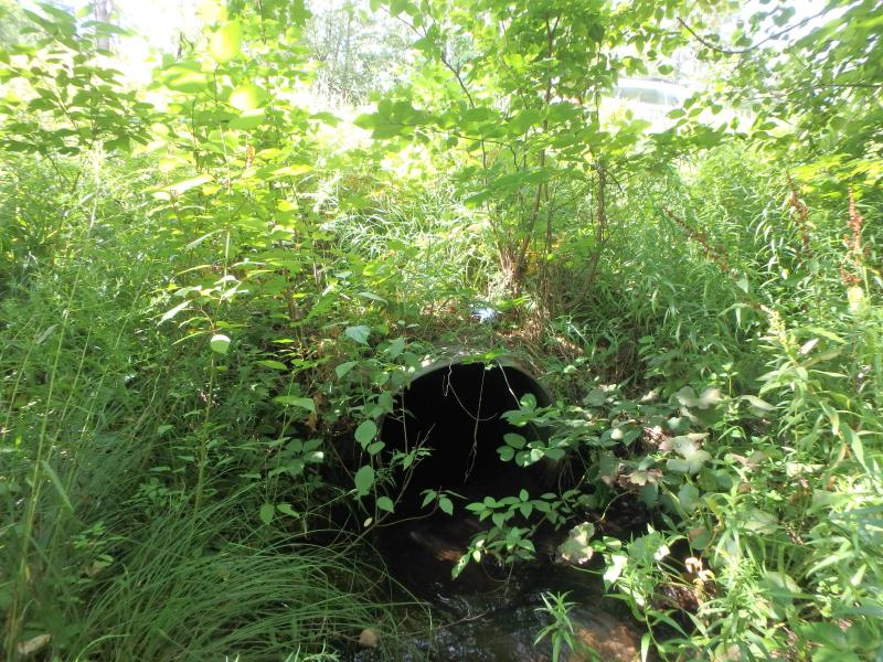
Outlet
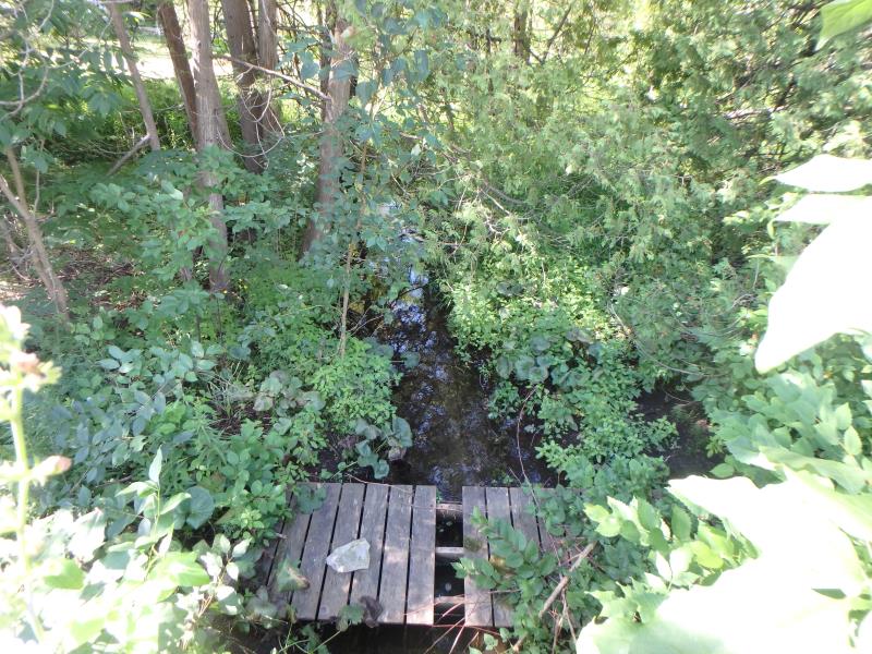
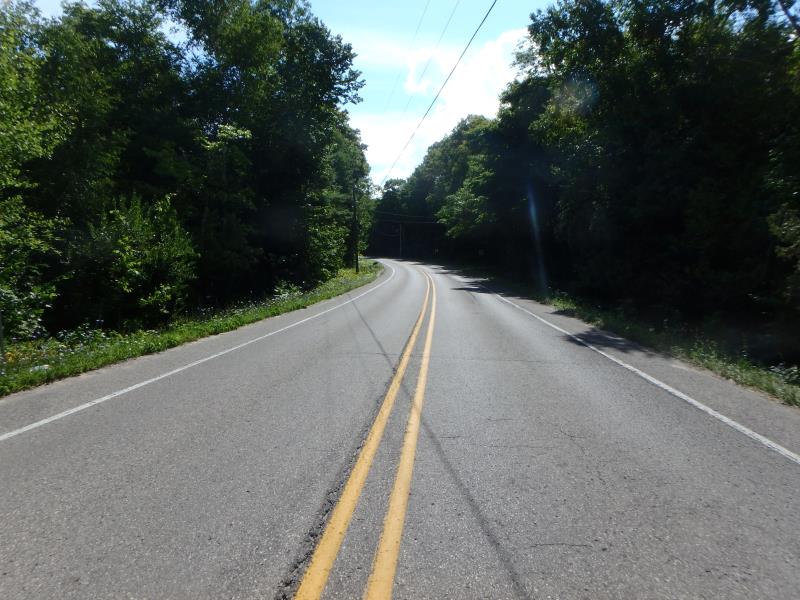
Upstream Conditions
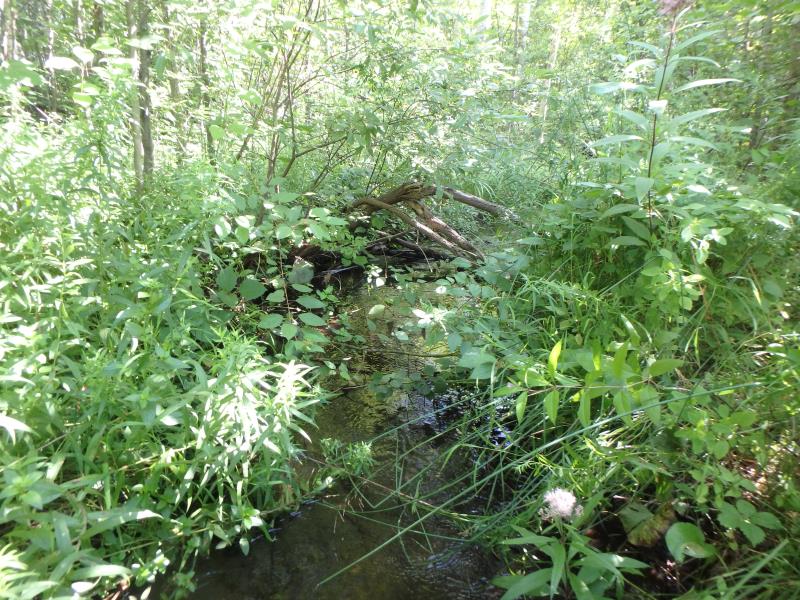
Downstream Conditions
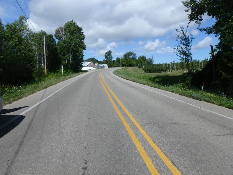
Road Approach - Left
Road Approach - Right
Crossing Information
Type of Crossing: culvert(s)
Number of Structures: 1
Structure Shape: Round
Inlet Type: Headwall
Outlet Type: At Stream Grade
Structure Material: Metal
Structure Substrate: None
General Conditions: Good
Structure Interior: corrugated
Dimensions of Structure: Length 66 ft.
, Width 3 ft.
, Height 3 ft.
Structure Inlet
Water Depth: 0.3 ft.
Embedded Depth of Structure: 0 ft.
Water Velocity*: 3 ft./sec.
Structure Outlet
Water Depth: 0.7 ft.
Embedded Depth of Structure: 0 ft.
Water Velocity*: 1.4 ft./sec.
*Water Velocities were measured 0.4 ft. below Surface
(with Meter)
Stream Information
Stream Flow: Less than 1/2 Bankfull
Riffle Information
Water Depth: 0.25 ft.
Bankfull Width: 10.8 ft.
Wetted Width: 8.1 ft.
Water Velocity: 2 ft./sec.
(Measured with Meter)
Dominant Substrate: Gravel
Road Information
Paved
County Road
Road Condition: Fair
Road Width at Culvert: 29.3 ft.
Location of Low Point: At Stream
Embankments
Upstream
Fill Depth: 5.5 ft.
Slope: Vertical
Downstream
Fill Depth: 3.6 ft.
Slope: 1:1
Approaches
Left Approach
Length: 300 ft.
Slope: 1% to 5%
Vegetation: Heavy
LS Factor: 0.46
Erosion: 0.1337 tons/year
Right Approach
Length: 300 ft.
Slope: 1% to 5%
Vegetation: Heavy
LS Factor: 0.46
Erosion: 0.1337 tons/year
Erosion Information
Total Erosion at Crossing: 0.2673 tons/year
Summary Information
Fish Passability 0.5
�