Road Stream Crossing Site GTBAY_LEE029
West Bay Shoreline & Tributaries Watershed, Leo Creek
M-22
Suttons Bay Twp,
Leelanau County
Information collected by:
Site Location
GPS Coordinates: 44.96730261
, -85.64419013
T30N
R11W
Sec 28
Owned by Private
Fish Passability 0
Total Erosion: 1.108 tons/year
Severity: Severe
Year Inventoried: 2020
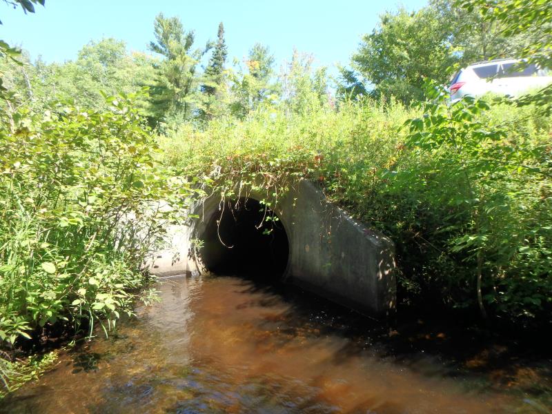
Inlet
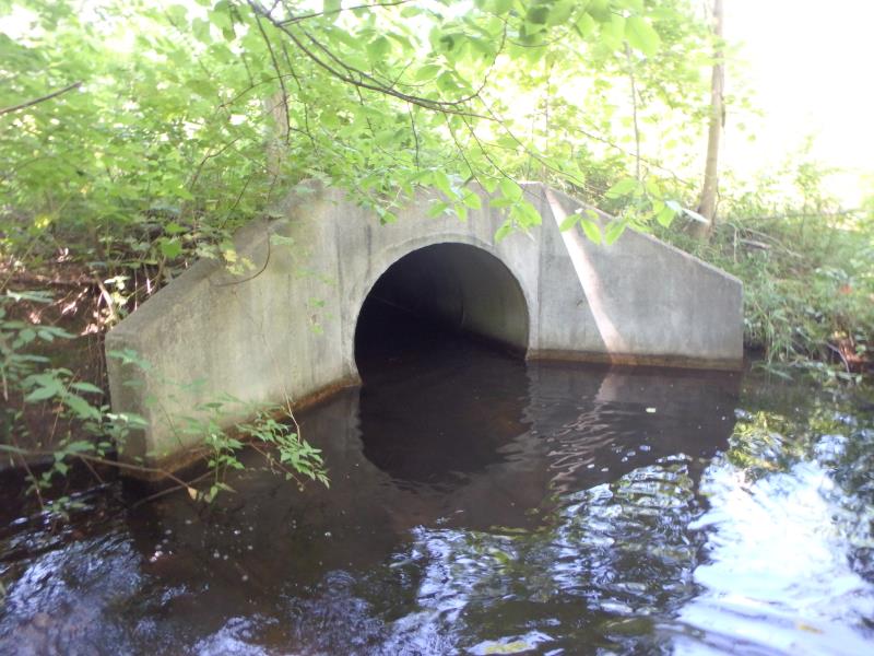
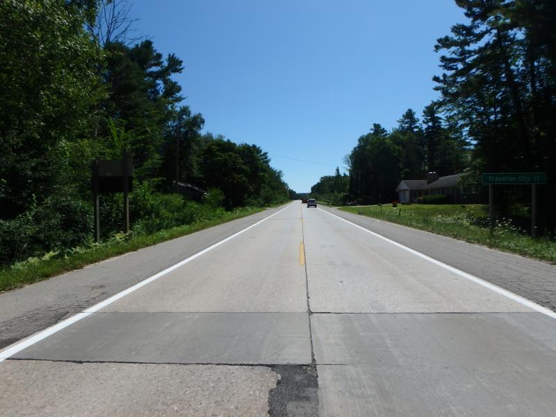
Outlet
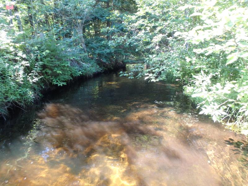
Upstream Conditions
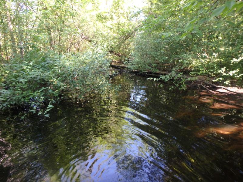
Downstream Conditions
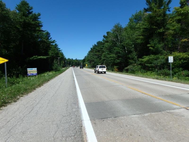
Road Approach - Left
Road Approach - Right
Crossing Information
Type of Crossing: culvert(s)
Number of Structures: 1
Structure Shape: Round
Inlet Type: Wingwall 10-30 Degree
Outlet Type: At Stream Grade
Structure Material: Concrete
Structure Substrate: None
General Conditions: Good
Structure Interior: smooth
Dimensions of Structure: Length 77.9 ft.
, Width 4.8 ft.
, Height 4.8 ft.
Structure Inlet
Water Depth: 0.6 ft.
Embedded Depth of Structure: 0 ft.
Water Velocity*: 5.4 ft./sec.
Structure Outlet
Water Depth: 0.7 ft.
Embedded Depth of Structure: 0 ft.
Water Velocity*: 5.1 ft./sec.
*Water Velocities were measured 0.5 ft. below Surface
(with Meter)
Additional Comments
Left approach is 1770ft., 999ft. entered because form will not take 4 digets
Stream Information
Stream Flow: Less than Bankfull
Riffle Information
Water Depth: 0.25 ft.
Bankfull Width: 18.6 ft.
Wetted Width: 11.6 ft.
Water Velocity: 0.6 ft./sec.
(Measured with Meter)
Dominant Substrate: Sand
Road Information
Paved
State Road
Road Condition: Fair
Road Width at Culvert: 41 ft.
Location of Low Point: At Stream
Runoff Path: Ditch
Embankments
Upstream
Fill Depth: 3.4 ft.
Slope: Less than 1:2
Downstream
Fill Depth: 2.4 ft.
Slope: Less than 1:2
Approaches
Left Approach
Length: 0 ft.
Slope: Less Than 1%
Vegetation: Partial
LS Factor: 0.05
Erosion: 0 tons/year
Right Approach
Length: 999 ft.
Slope: 1% to 5%
Vegetation: Partial
LS Factor: 0.8
Erosion: 1.0829 tons/year
Erosion Information
Total Erosion at Crossing: 1.108 tons/year
Extent of Erosion: Minor
Erosion is occurring and corrective actions can be installed to address the problem.
Location of Erosion | Erosion Dimensions | Eroded Material | Material Eroded | Total Erosion | ||
facing downstream | Length | Width | Depth | Reaching Stream? | (tons/year) | |
Right Upstream Embankment |
3.8 ft. |
4.9 ft. |
6 ft. |
yes |
Sand |
0.0251 |
Summary Information
Fish Passability 0
These non-native species were observerd at this site: Queen Anne's Lace
�