Road Stream Crossing Site GTBAY_LEE034
West Bay Shoreline & Tributaries Watershed, Leo Creek
Private Drive, Address 983
Suttons Bay Twp,
Leelanau County
Information collected by:
Site Location
GPS Coordinates: 44.96724227
, -85.65370518
T30N
R11W
Sec 28
Owned by Private
Fish Passability 0.9
Total Erosion: 1.1905 tons/year
Severity: Moderate
Year Inventoried: 2020
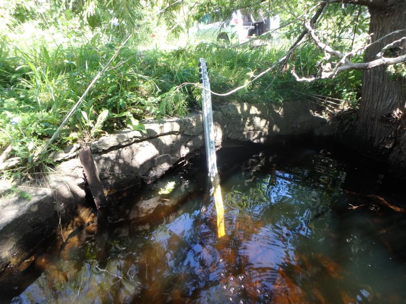
Inlet
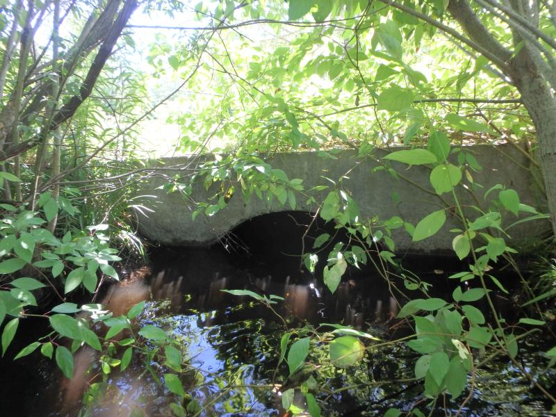
Outlet
Upstream Conditions
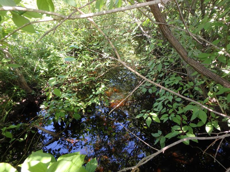
Downstream Conditions
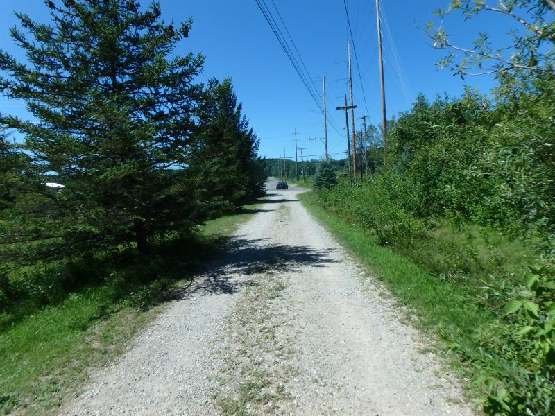
Road Approach - Left
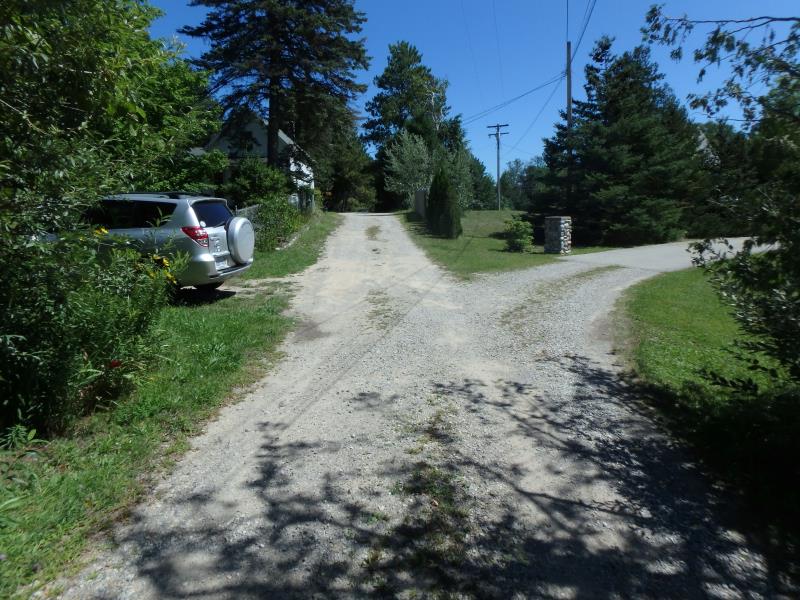
Road Approach - Right
Crossing Information
Type of Crossing: culvert(s)
Number of Structures: 1
Structure Shape: Pipe Arch
Inlet Type: Headwall
Outlet Type: At Stream Grade
Structure Material: Metal
Structure Substrate: None
General Conditions: Good
Structure Interior: corrugated
Dimensions of Structure: Length 16.3 ft.
, Width 4.7 ft.
, Height 3.1 ft.
Structure Inlet
Water Depth: 1.1 ft.
Embedded Depth of Structure: 0 ft.
Water Velocity*: 0.8 ft./sec.
Structure Outlet
Water Depth: 0.95 ft.
Embedded Depth of Structure: 0 ft.
Water Velocity*: 0.9 ft./sec.
*Water Velocities were measured 0.75 ft. below Surface
(with Meter)
Stream Information
Stream Flow: Less than Bankfull
Riffle Information
Water Depth: 0.6 ft.
Bankfull Width: 10 ft.
Wetted Width: 10 ft.
Water Velocity: 0.8 ft./sec.
(Measured with Meter)
Dominant Substrate: Sand
Road Information
Gravel
Private Road
Road Condition: Fair
Road Width at Culvert: 11.3 ft.
Location of Low Point: At Stream
Runoff Path: Roadway
Embankments
Upstream
Fill Depth: 1.8 ft.
Slope: Vertical
Downstream
Fill Depth: 1.3 ft.
Slope: Vertical
Approaches
Left Approach
Length: 191 ft.
Slope: 1% to 5%
Vegetation: Partial
LS Factor: 0.473
Erosion: 0.2811 tons/year
Right Approach
Length: 201 ft.
Slope: 6% to 10%
Vegetation: Partial
LS Factor: 1.453
Erosion: 0.9094 tons/year
Erosion Information
Total Erosion at Crossing: 1.1905 tons/year
Summary Information
Fish Passability 0.9
These non-native species were observerd at this site: Queen Anne's Lace, Autumn Olive
�