Road Stream Crossing Site GTBAY_LEE040
West Bay Shoreline & Tributaries Watershed, Unnamed
Adams Street
Suttons Bay Twp,
Leelanau County
Information collected by:
Site Location
GPS Coordinates: 44.97891901
, -85.65276749
T30N
R11W
Sec 28
Owned by Private
Perch Height: 0.5 ft.
Total Erosion: 0.1402 tons/year
Severity: Minor
Year Inventoried: 2020
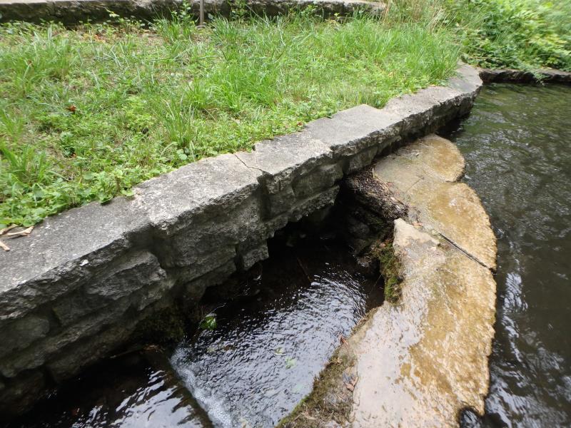
Inlet
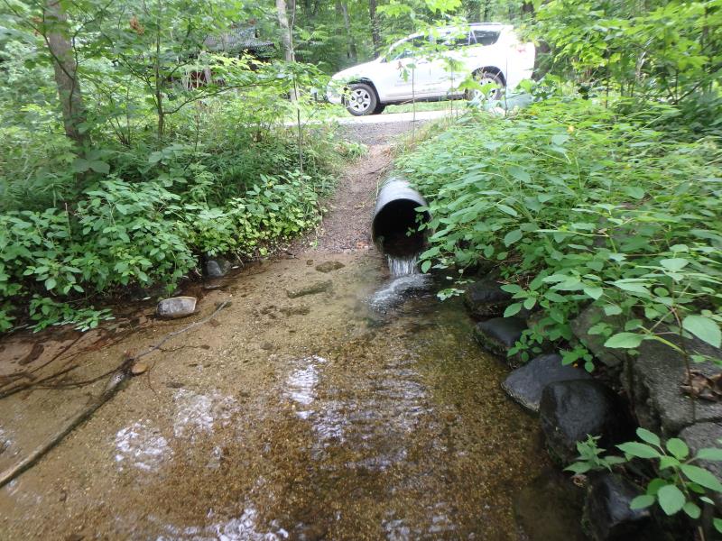
Outlet
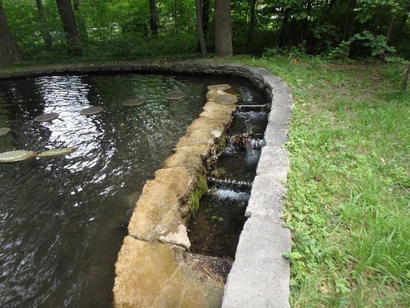
Upstream Conditions
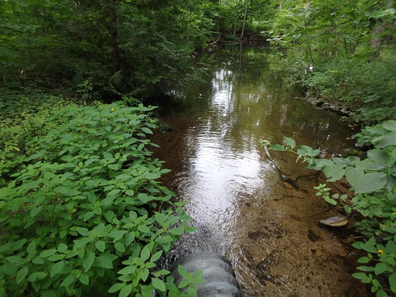
Downstream Conditions
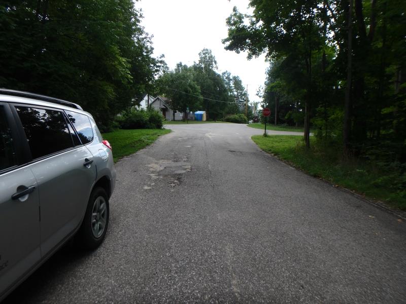
Road Approach - Left
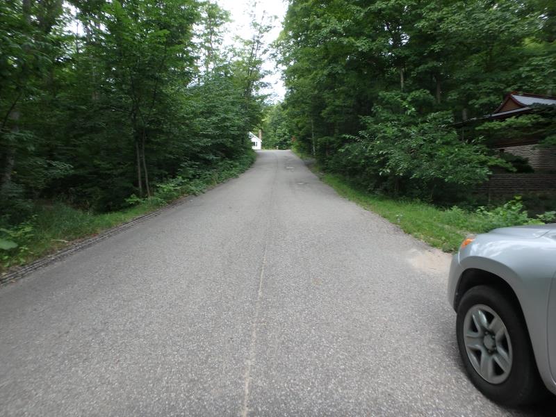
Road Approach - Right
Crossing Information
Type of Crossing: culvert(s)
Number of Structures: 1
Structure Shape: Round
Inlet Type: Headwall
Outlet Type: Freefall into Pool
Structure Material: Metal
Structure Substrate: None
General Conditions: Good
Structure Interior: corrugated
Dimensions of Structure: Length 45.2 ft.
, Width 1.3 ft.
, Height 1.3 ft.
Perch Height: 0.5 ft.
Structure Inlet
Water Depth: 0.3 ft.
Embedded Depth of Structure: 0 ft.
Water Velocity*: 0.7 ft./sec.
Structure Outlet
Water Depth: 0.2 ft.
Embedded Depth of Structure: 0 ft.
Water Velocity*: 3.6 ft./sec.
*Water Velocities were measured 0.1 ft. below Surface
(with Meter)
Stream Information
Stream Flow: Less than 1/2 Bankfull
Road Information
Paved
Town Road
Road Condition: Fair
Road Width at Culvert: 20.5 ft.
Location of Low Point: Other
Runoff Path: Roadway
Embankments
Upstream
Fill Depth: 2.4 ft.
Slope: Less than 1:2
Downstream
Fill Depth: 1.1 ft.
Slope: Less than 1:2
Approaches
Left Approach
Length: 25 ft.
Slope: Less Than 1%
Vegetation: Heavy
LS Factor: 0.05
Erosion: 0.0008 tons/year
Right Approach
Length: 175 ft.
Slope: 6% to 10%
Vegetation: Heavy
LS Factor: 1.175
Erosion: 0.1393 tons/year
Erosion Information
Total Erosion at Crossing: 0.1402 tons/year
Summary Information
Fish Passage is an area of concern for this site.
Ladder/steps upstream and downstream dam
�