Road Stream Crossing Site GTBAY_LEE041
West Bay Shoreline & Tributaries Watershed, Unnamed
West Street
Suttons Bay Twp,
Leelanau County
Information collected by:
Site Location
GPS Coordinates: 44.97940566
, -85.65379445
T30N
R11W
Sec 28
Owned by Local Government
Private
Private
Perch Height: 0.4 ft.
Total Erosion: 0.0682 tons/year
Severity: Minor
Year Inventoried: 2020
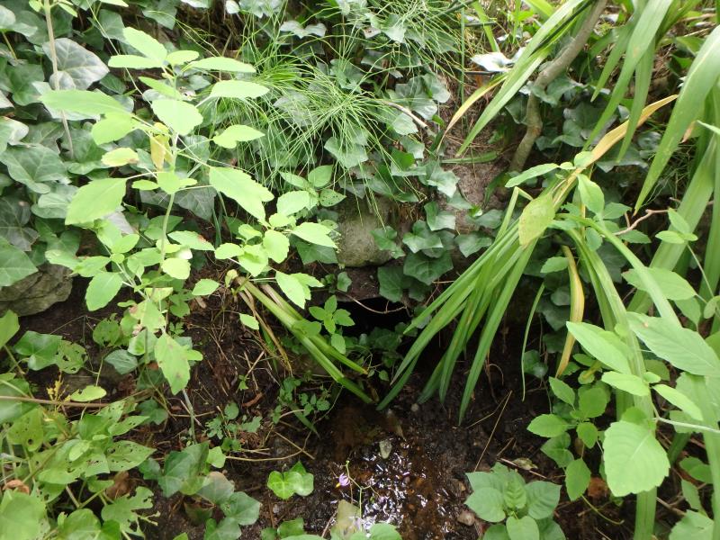
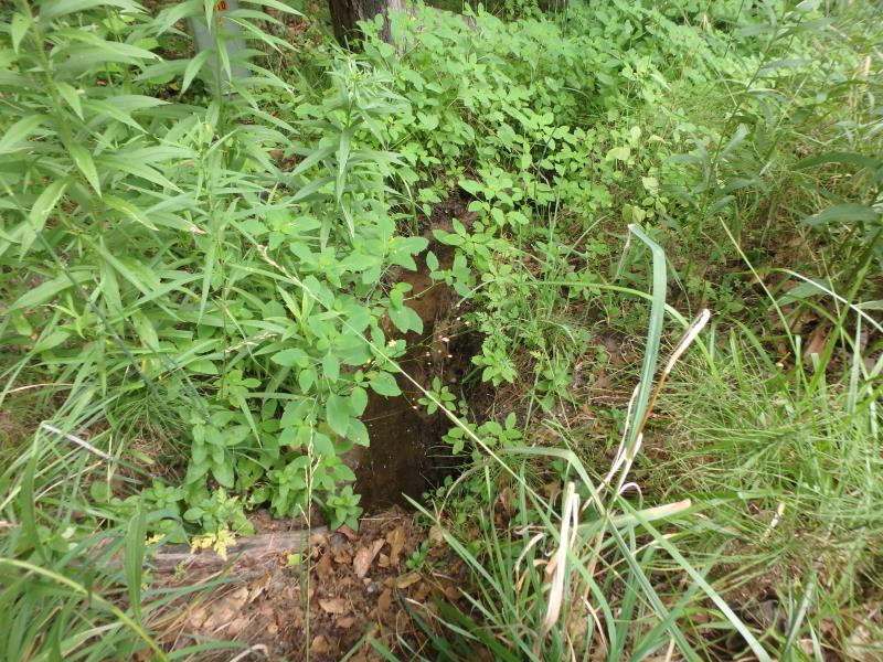
Inlet
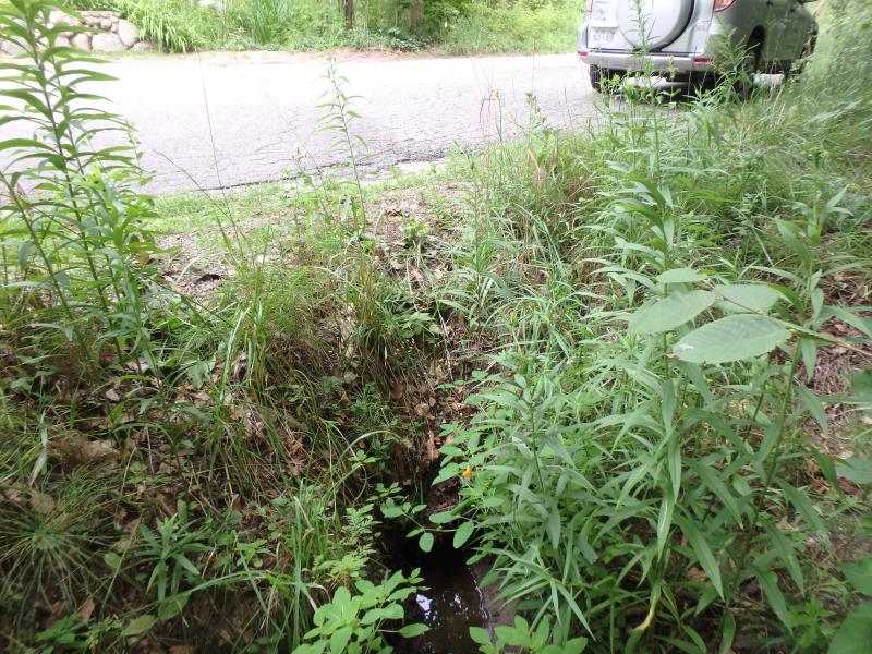
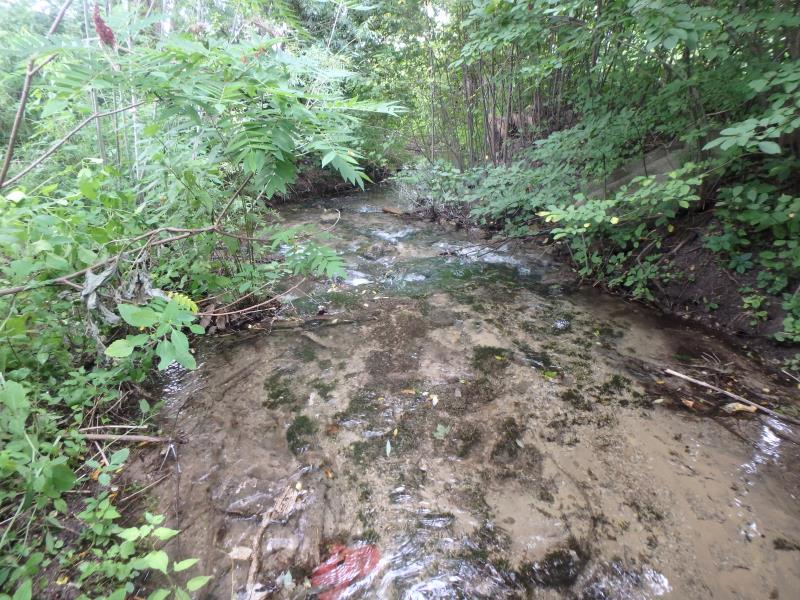
Outlet
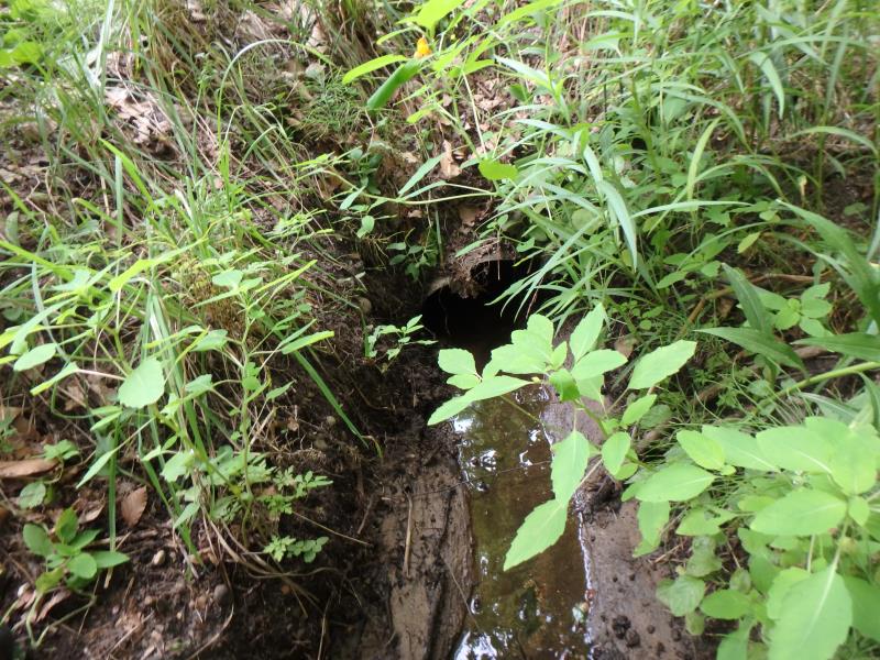
Outlet
Upstream Conditions
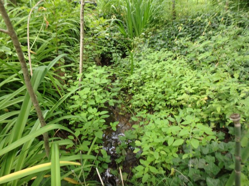
Downstream Conditions
Downstream Conditions
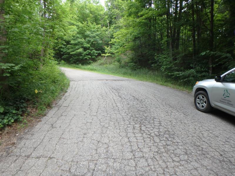
Road Approach - Left
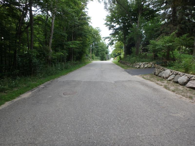
Road Approach - Right
Crossing Information
Type of Crossing: culvert(s)
Number of Structures: 1
Structure Shape: Round
Inlet Type: Projecting
Outlet Type: At Stream Grade
Structure Material: Metal
Structure Substrate: Sand
General Conditions: Fair
Structure Interior: corrugated
Dimensions of Structure: Length 93.7 ft.
, Width 1.2 ft.
, Height 1.2 ft.
Percentage Plugged:
Inlet: 1% to 25%
Outlet: 0%
In Pipe: 0%
Perch Height: 0.4 ft.
Structure Inlet
Water Depth: 0.1 ft.
Embedded Depth of Structure: 0.3 ft.
Water Velocity*: 0.1 ft./sec.
Structure Outlet
Water Depth: 0.1 ft.
Embedded Depth of Structure: 0.7 ft.
Water Velocity*: 0.1 ft./sec.
*Water Velocities were measured at the Surface
(with Float Test)
Road Information
Paved
Town Road
Road Condition: Fair
Road Width at Culvert: 21.2 ft.
Location of Low Point: Other
Runoff Path: Roadway
Embankments
Upstream
Fill Depth: 2.4 ft.
Slope: Vertical
Downstream
Fill Depth: 2.4 ft.
Slope: 1:2
Approaches
Left Approach
Length: 200 ft.
Slope: 1% to 5%
Vegetation: Partial
LS Factor: 0.48
Erosion: 0.0673 tons/year
Right Approach
Length: 25 ft.
Slope: Less Than 1%
Vegetation: Partial
LS Factor: 0.05
Erosion: 0.0009 tons/year
Erosion Information
Total Erosion at Crossing: 0.0682 tons/year
Summary Information
These non-native species were observerd at this site: Queen Anne's Lace
�