Road Stream Crossing Site GTBAY_LEE043
West Bay Shoreline & Tributaries Watershed, Unnamed
M-22
Suttons Bay Twp,
Leelanau County
Information collected by:
Site Location
GPS Coordinates: 45.04006634
, -85.59805756
T30N
R11W
Sec 02
Owned by Private
Total Erosion: 0.3167 tons/year
Severity: Minor
Year Inventoried: 2020
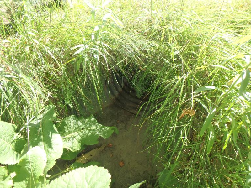
Inlet
Outlet
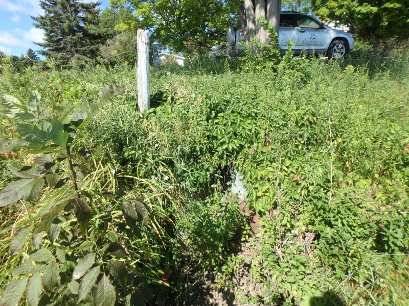
Upstream Conditions
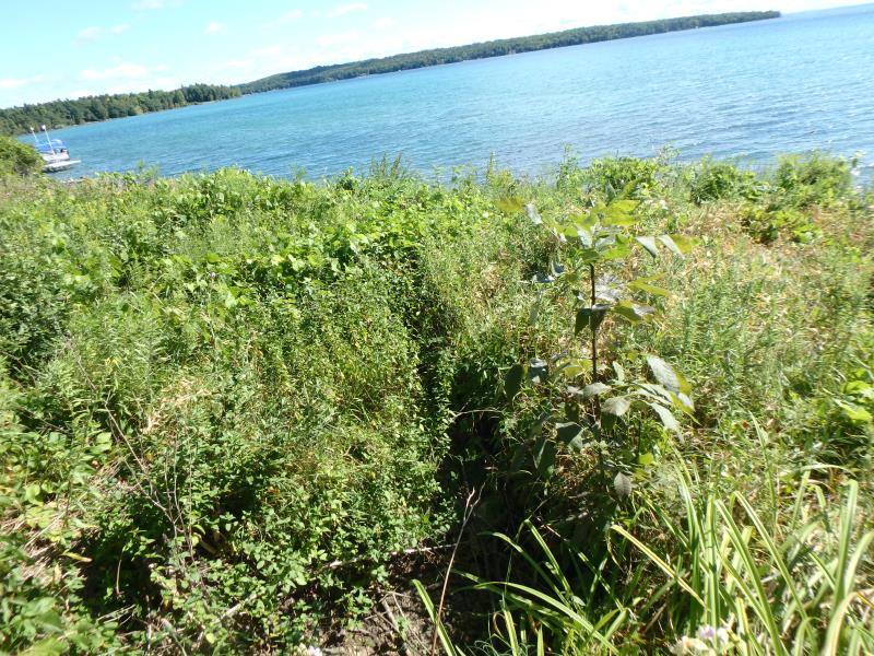
Downstream Conditions
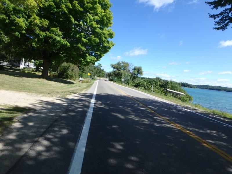
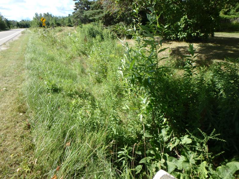
Road Approach - Left
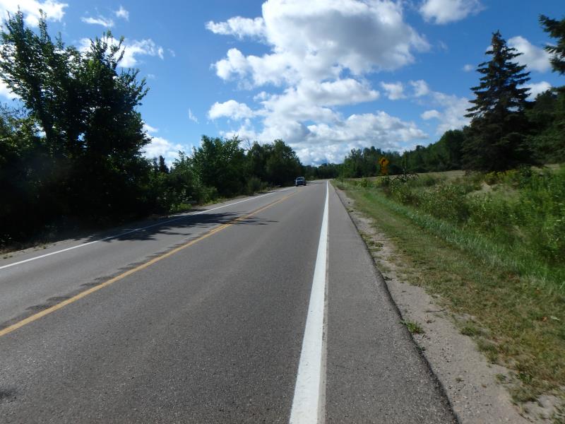
Road Approach - Right
Crossing Information
Type of Crossing: culvert(s)
Number of Structures: 1
Structure Shape: Round
Inlet Type: Mitered
Outlet Type: Freefall into Pool
Structure Material: Metal
Structure Substrate: None
General Conditions: Good
Structure Interior: corrugated
Dimensions of Structure: Length 58.6 ft.
, Width 2.2 ft.
, Height 2.1 ft.
Water Depth: 0 ft.
Embedded Depth of Structure: 0 ft.
Water Velocity*: 0 ft./sec.
Water Depth: 0 ft.
Embedded Depth of Structure: 0 ft.
Water Velocity*: 0 ft./sec.
Stream Information
Stream Flow: None
Road Information
Paved
State Road
Road Condition: Good
Road Width at Culvert: 29.7 ft.
Location of Low Point: Other
Runoff Path: Ditch
Embankments
Upstream
Fill Depth: 0.7 ft.
Slope: Less than 1:2
Downstream
Fill Depth: 4.1 ft.
Slope: 1:2
Approaches
Left Approach
Length: 25 ft.
Slope: Less Than 1%
Vegetation: Partial
LS Factor: 0.05
Erosion: 0.0012 tons/year
Right Approach
Length: 500 ft.
Slope: 1% to 5%
Vegetation: Partial
LS Factor: 0.64
Erosion: 0.3142 tons/year
Erosion Information
Total Erosion at Crossing: 0.3167 tons/year
Extent of Erosion: Minor
Erosion is occurring and corrective actions can be installed to address the problem.
Location of Erosion | Erosion Dimensions | Eroded Material | Material Eroded | Total Erosion | ||
facing downstream | Length | Width | Depth | Reaching Stream? | (tons/year) | |
Left Upstream Embankment |
1 ft. |
0.7 ft. |
1.2 ft. |
yes |
Sand |
0.0013 |
Summary Information
Fish Passage is an area of concern for this site.
No flow
�