Road Stream Crossing Site GTBAY_LEE048
West Bay Shoreline & Tributaries Watershed, Unnamed
M-22
Suttons Bay Twp,
Leelanau County
Information collected by:
Site Location
GPS Coordinates: 44.98095196
, -85.64687946
T30N
R11w
Sec 28
Owned by Private
Fish Passability 0
Total Erosion: 0.1056 tons/year
Severity: Severe
Year Inventoried: 2020
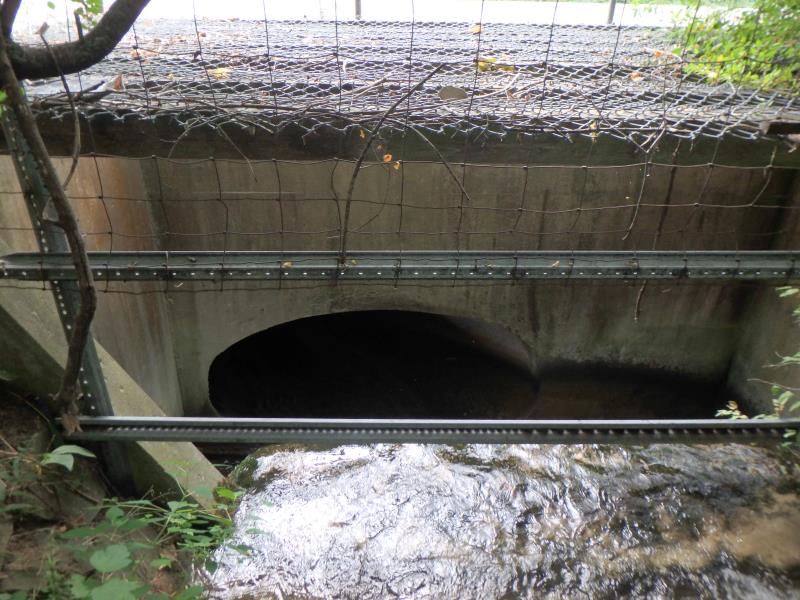
Inlet
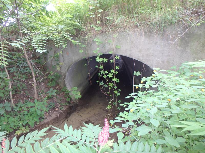
Outlet
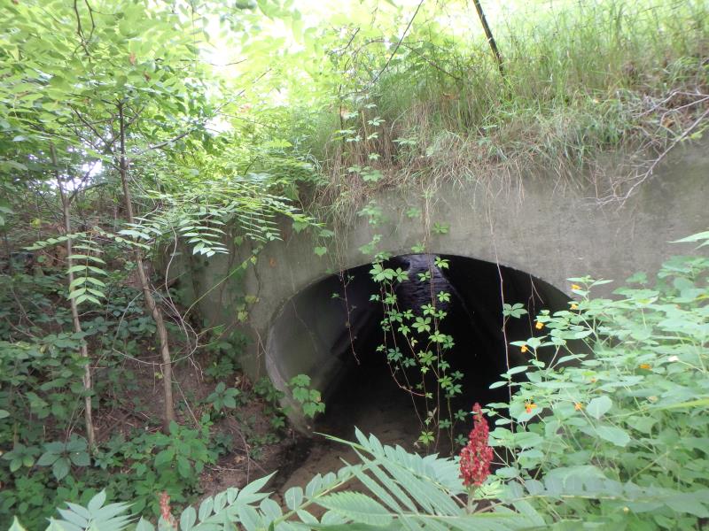
Outlet
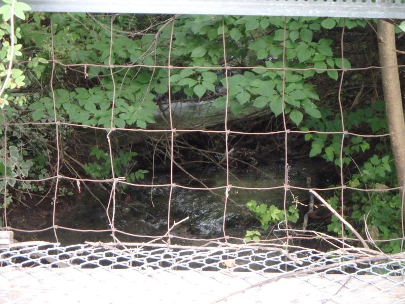
Upstream Conditions
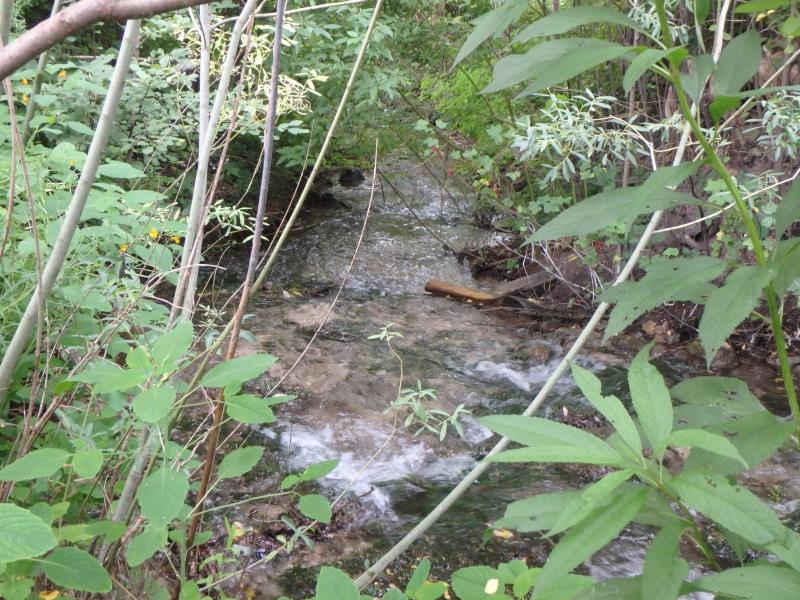
Downstream Conditions
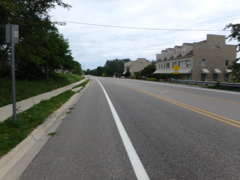
Road Approach - Left
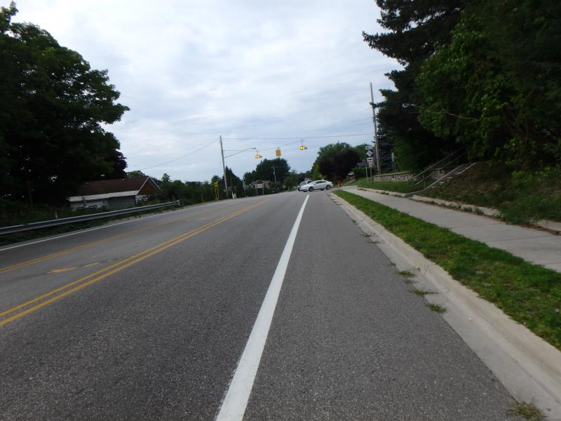
Road Approach - Right
Crossing Information
Type of Crossing: culvert(s)
Number of Structures: 1
Structure Shape: Round
Inlet Type: Headwall
Outlet Type: At Stream Grade
Structure Material: Concrete
Structure Substrate: Sand
General Conditions: Good
Structure Interior: smooth
Dimensions of Structure: Length 78.5 ft.
, Width 9.7 ft.
, Height 5.8 ft.
Structure Inlet
Water Depth: 0.4 ft.
Embedded Depth of Structure: 0 ft.
Water Velocity*: 4.3 ft./sec.
Structure Outlet
Water Depth: 0.6 ft.
Embedded Depth of Structure: 0.2 ft.
Water Velocity*: 0.7 ft./sec.
*Water Velocities were measured 0.3 ft. below Surface
(with Meter)
Stream Information
Stream Flow: Less than 1/2 Bankfull
Riffle Information
Water Depth: 0.5 ft.
Bankfull Width: 12.6 ft.
Wetted Width: 8.1 ft.
Water Velocity: 1 ft./sec.
Road Information
Paved
State Road
Road Condition: Good
Road Width at Culvert: 44 ft.
Location of Low Point: Other
Runoff Path: Roadway
Embankments
Upstream
Fill Depth: 7.4 ft.
Slope: Vertical
Downstream
Fill Depth: 4.7 ft.
Slope: Vertical
Approaches
Left Approach
Length: 25 ft.
Slope: Less Than 1%
Vegetation: None
LS Factor: 0.05
Erosion: 0.0018 tons/year
Right Approach
Length: 145.2 ft.
Slope: 1% to 5%
Vegetation: None
LS Factor: 0.491
Erosion: 0.1038 tons/year
Erosion Information
Total Erosion at Crossing: 0.1056 tons/year
Summary Information
Fish Passability 0
Fish Passage is an area of concern for this site.
upstream - large man-made waterfall
These non-native species were observerd at this site: Burdock, Spotted Knapweed
�