Road Stream Crossing Site CHAR_EV23
Lake Charlevoix Watershed
Sleepy Hollow Lane
Eveline Twp,
Charlevoix County
Information collected by:
Site Location
GPS Coordinates: 45.22315
, -85.17058
T33N
R07W
Sec 28
Owned by Private
Perch Height: 0.5 ft.
Total Erosion: 8.4888 tons/year
Severity: Severe
Year Inventoried: 2011
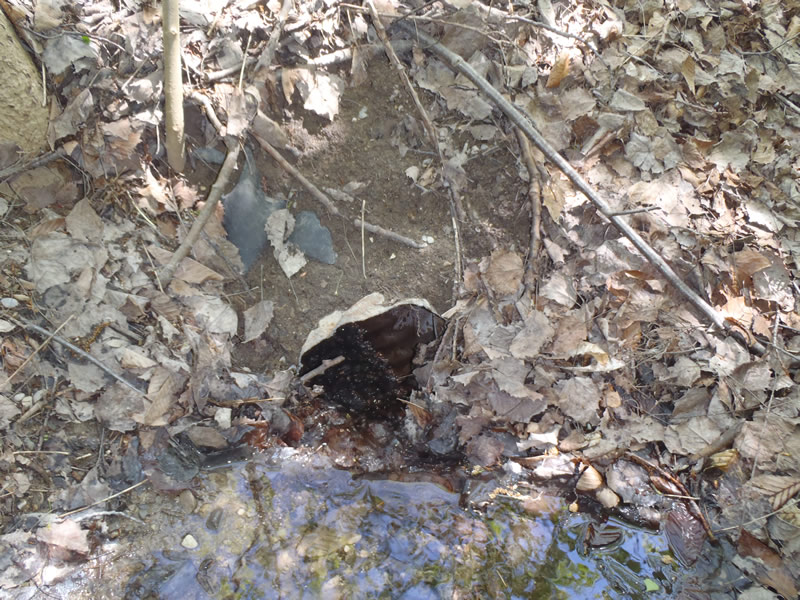
Inlet
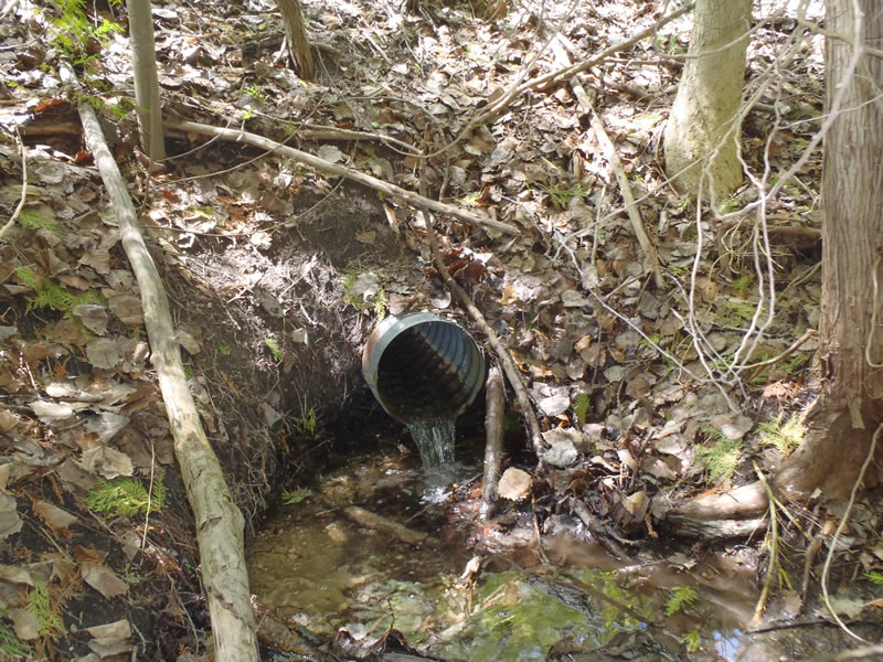
Outlet
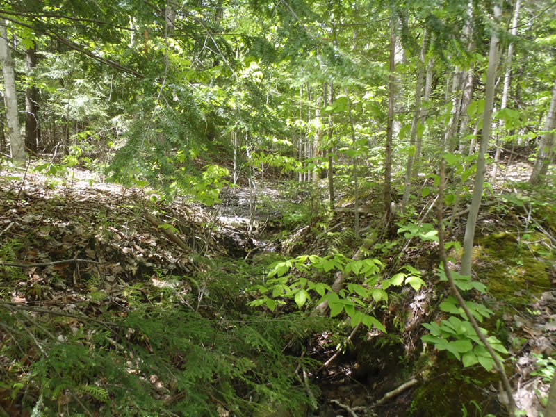
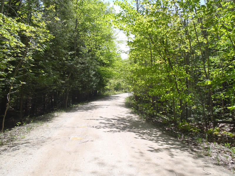
Upstream Conditions
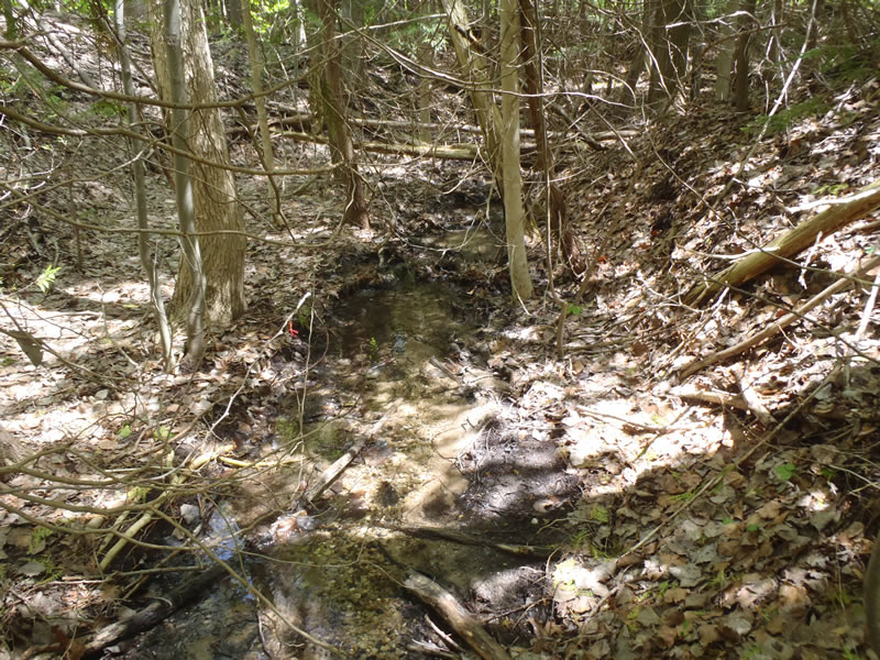
Downstream Conditions
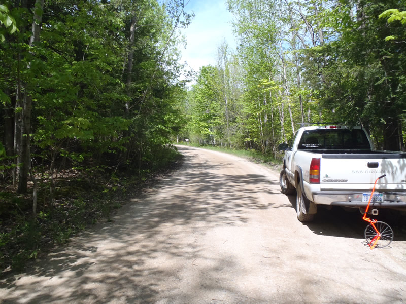
Road Approach - Left
Road Approach - Right
Crossing Information
Type of Crossing: culvert(s)
Number of Structures: 1
Structure Shape: Round
Inlet Type: Projecting
Outlet Type: Freefall into Pool
Structure Material: Metal
Structure Substrate: None
General Conditions: Fair
Structure Interior: corrugated
Dimensions of Structure: Length 40 ft.
, Width 1 ft.
, Height 1 ft.
Percentage Plugged:
Inlet: 26% to 50%
Perch Height: 0.5 ft.
Structure Inlet
Water Depth: 0.12 ft.
Embedded Depth of Structure: 0 ft.
Water Velocity*: 0.8 ft./sec.
Structure Outlet
Water Depth: 0.08 ft.
Embedded Depth of Structure: 0 ft.
Water Velocity*: 1.5 ft./sec.
*Water Velocities were measured at the Surface
(with Meter)
Stream Information
Stream Flow: Less than Bankfull
Scour Pool: Length 3.5 ft.
, Width 2 ft.
, Depth 0.6 ft.
Riffle Information
Water Depth: 0.1 ft.
Bankfull Width: 3.7 ft.
Wetted Width: 1.8 ft.
Water Velocity: 0.9 ft./sec.
(Measured with Meter)
Dominant Substrate: Sand
Road Information
Gravel
Private Road
Road Condition: Fair
Road Width at Culvert: 19 ft.
Location of Low Point: At Stream
Runoff Path: Ditch
Embankments
Upstream
Fill Depth: 4.2 ft.
Slope: 1:1
Downstream
Fill Depth: 5.5 ft.
Slope: 1:1
Approaches
Left Approach
Length: 628 ft.
Slope: 6% to 10%
Vegetation: Partial
LS Factor: 2.52
Erosion: 8.2847 tons/year
Right Approach
Length: 100 ft.
Slope: 1% to 5%
Vegetation: Partial
LS Factor: 0.39
Erosion: 0.2041 tons/year
Erosion Information
Total Erosion at Crossing: 8.4888 tons/year
Extent of Erosion: Minor
Notes: Embankment erosion can easily be alleviated with vegetation
Summary Information
�