Road Stream Crossing Site GTBAY_LEE054
West Bay Shoreline & Tributaries Watershed, Ennis Creek
Lee Mann Rd
Leelanau Twp,
Leelanau County
Information collected by:
Site Location
GPS Coordinates: 45.09864201
, -85.62512356
T31N
R11W
Sec 15
Owned by Private
Fish Passability 0.9
Total Erosion: 0.2291 tons/year
Severity: Minor
Year Inventoried: 2020
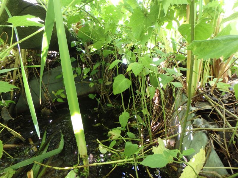
Inlet
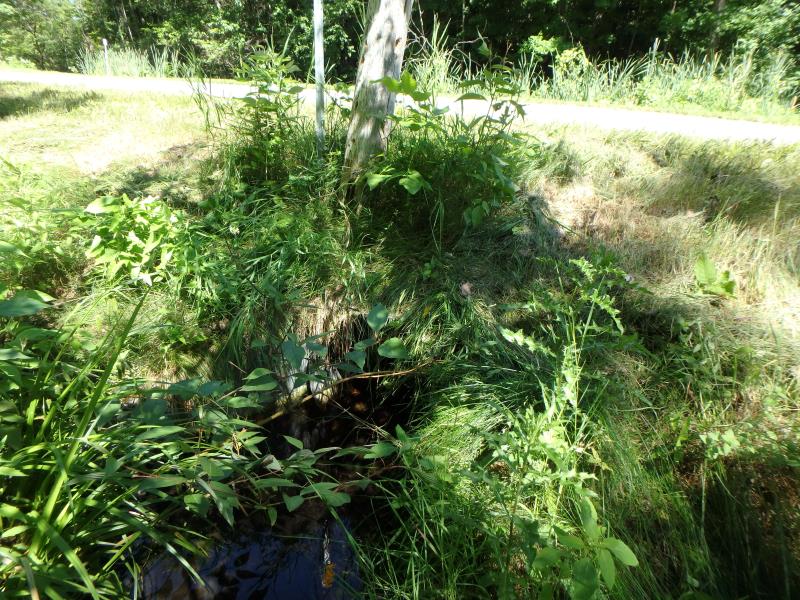
Outlet
Upstream Conditions
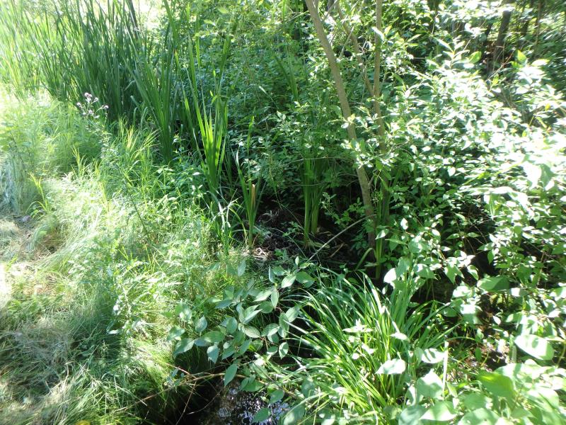
Downstream Conditions
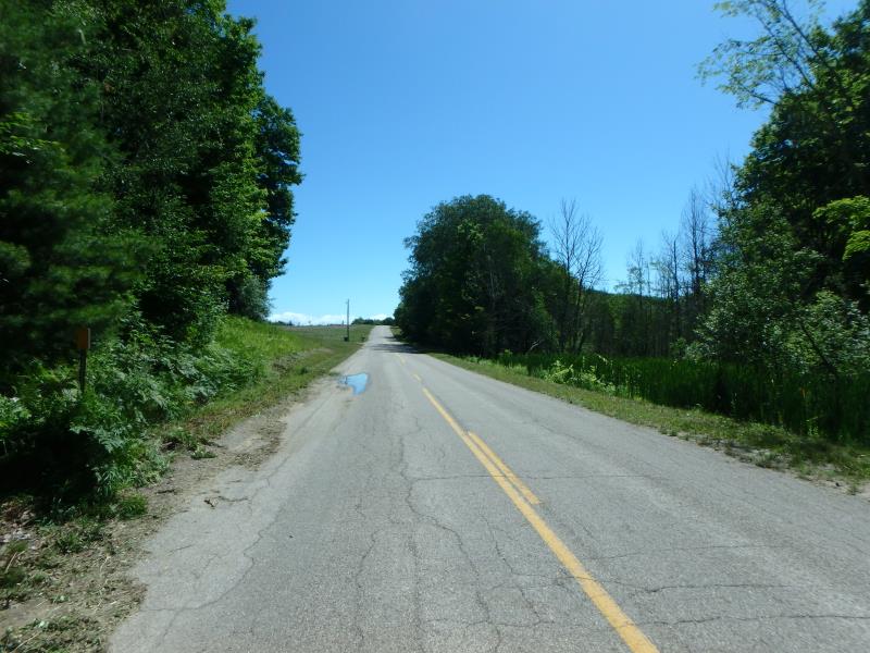
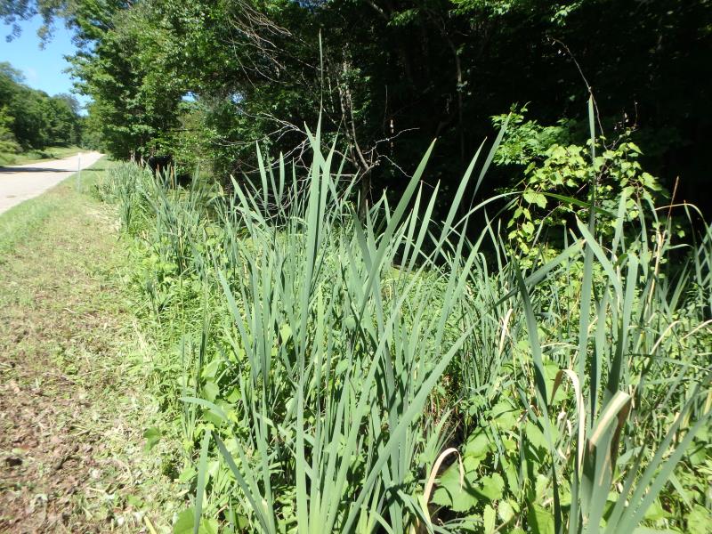
Road Approach - Left
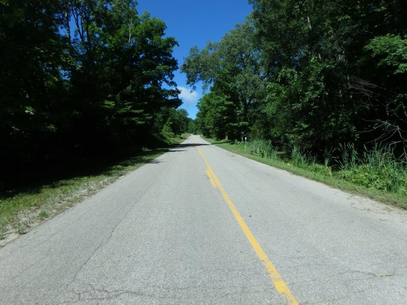
Road Approach - Right
Crossing Information
Type of Crossing: culvert(s)
Number of Structures: 1
Structure Shape: Round
Inlet Type: Apron
Outlet Type: Freefall onto Riprap
Structure Material: Metal
Structure Substrate: Mixture
General Conditions: Fair
Structure Interior: corrugated
Dimensions of Structure: Length 40 ft.
, Width 1.7 ft.
, Height 2 ft.
Structure Inlet
Water Depth: 0.2 ft.
Embedded Depth of Structure: 0.1 ft.
Water Velocity*: 0.2 ft./sec.
Structure Outlet
Water Depth: 0.4 ft.
Embedded Depth of Structure: 0.1 ft.
Water Velocity*: 0.2 ft./sec.
(with Meter)
Stream Information
Stream Flow: Less than 1/2 Bankfull
Riffle Information
Water Depth: 0.2 ft.
Bankfull Width: 19 ft.
Wetted Width: 5.9 ft.
Water Velocity: 0.2 ft./sec.
(Measured with Meter)
Dominant Substrate: Organics
Road Information
Paved
County Road
Road Condition: Fair
Road Width at Culvert: 25.2 ft.
Location of Low Point: Other
Runoff Path: Roadway
Embankments
Upstream
Fill Depth: 1.3 ft.
Slope: 1:2
Downstream
Fill Depth: 1 ft.
Slope: Less than 1:2
Approaches
Left Approach
Length: 500 ft.
Slope: 1% to 5%
Vegetation: Heavy
LS Factor: 0.5
Erosion: 0.2083 tons/year
Right Approach
Length: 500 ft.
Slope: Less Than 1%
Vegetation: Heavy
LS Factor: 0.05
Erosion: 0.0208 tons/year
Erosion Information
Total Erosion at Crossing: 0.2291 tons/year
Summary Information
Fish Passability 0.9
These non-native species were observerd at this site: Thistle, Spotted Knapweed
�