Road Stream Crossing Site GTBAY_LEE055
West Bay Shoreline & Tributaries Watershed, Ennis Creek
M-22
Leelanau Twp,
Leelanau County
Information collected by:
Site Location
GPS Coordinates: 45.0974931
, -85.60989037
T31N
R11W
Sec 15
Owned by Private
Fish Passability 0.9
Total Erosion: 0.8536 tons/year
Severity: Moderate
Year Inventoried: 2020
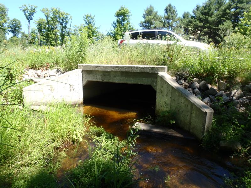
Inlet
Outlet
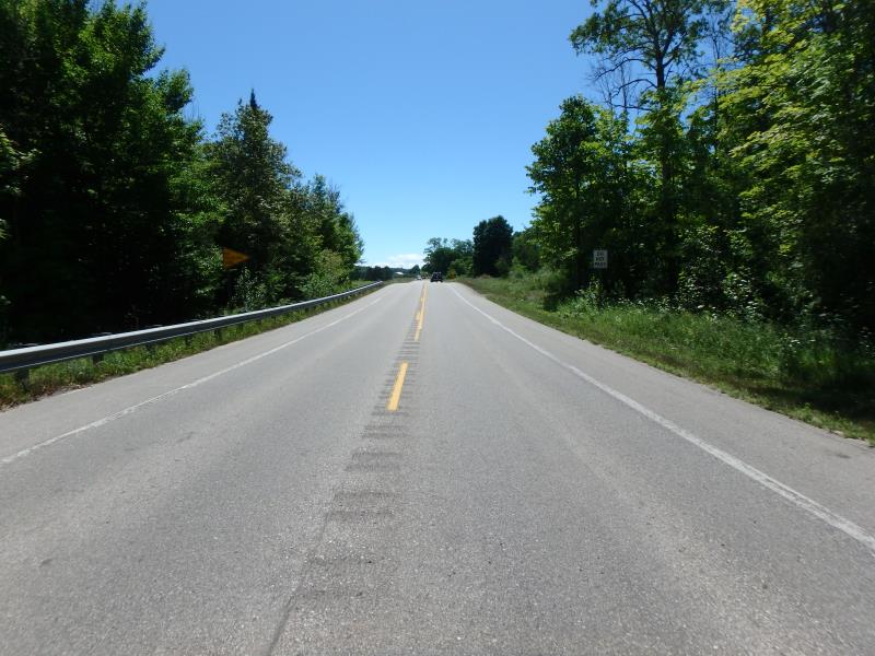
Upstream Conditions
Downstream Conditions
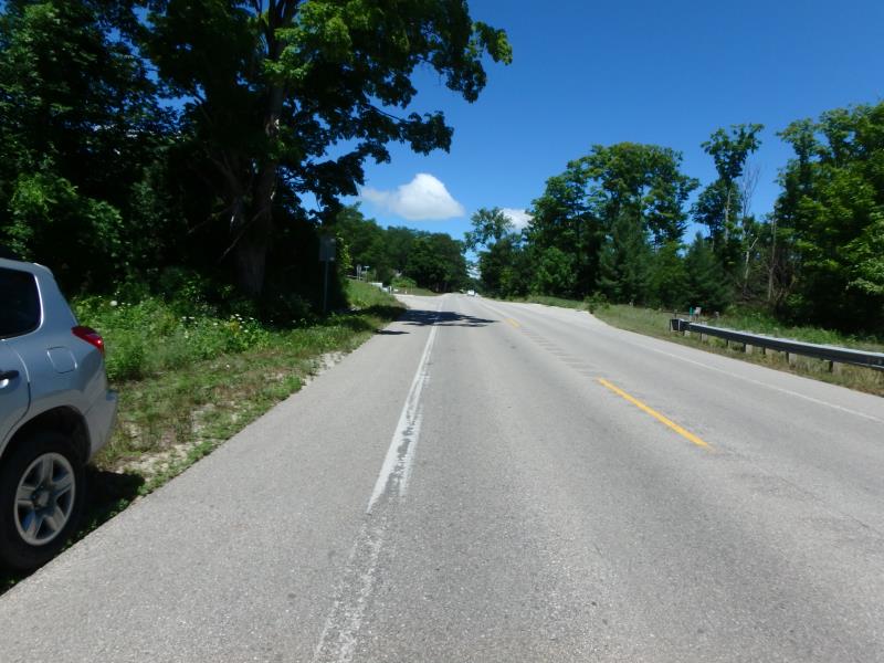
Road Approach - Left
Road Approach - Right
Erosion
Crossing Information
Type of Crossing: culvert(s)
Number of Structures: 1
Structure Shape: Square/Rectangle
Inlet Type: Wingwall 10-30 Degree
Outlet Type: Outlet Apron
Structure Material: Concrete
Structure Substrate: Mixture
General Conditions: New
Structure Interior: smooth
Dimensions of Structure: Length 64 ft.
, Width 11.4 ft.
, Height 3.3 ft.
Structure Inlet
Water Depth: 0.6 ft.
Embedded Depth of Structure: 0.6 ft.
Water Velocity*: 1.2 ft./sec.
Structure Outlet
Water Depth: 1.2 ft.
Embedded Depth of Structure: 0.7 ft.
Water Velocity*: 0.2 ft./sec.
*Water Velocities were measured 1 ft. below Surface
(with Meter)
Stream Information
Stream Flow: Less than 1/2 Bankfull
Upstream Pond: Length 33 ft.
, Width 16.5 ft.
, Depth 1.8 ft.
Riffle Information
Water Depth: 0.3 ft.
Bankfull Width: 7.7 ft.
Wetted Width: 5.3 ft.
Water Velocity: 5.4 ft./sec.
(Measured with Meter)
Dominant Substrate: Gravel
Road Information
Paved
State Road
Road Condition: Good
Road Width at Culvert: 32.2 ft.
Location of Low Point: At Stream
Runoff Path: Ditch
Embankments
Upstream
Fill Depth: 1.9 ft.
Slope: Less than 1:2
Downstream
Fill Depth: 1.5 ft.
Slope: Less than 1:2
Approaches
Left Approach
Length: 438.9 ft.
Slope: 1% to 5%
Vegetation: Partial
LS Factor: 0.616
Erosion: 0.2876 tons/year
Right Approach
Length: 300.3 ft.
Slope: 6% to 10%
Vegetation: Partial
LS Factor: 1.771
Erosion: 0.566 tons/year
Erosion Information
Total Erosion at Crossing: 0.8536 tons/year
Summary Information
Fish Passability 0.9
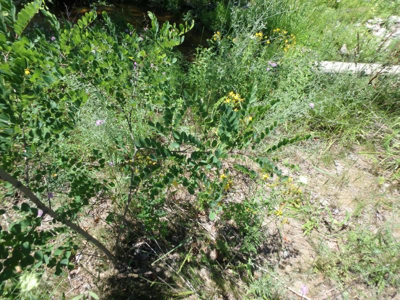
These non-native species were observerd at this site: Spotted Knapweek, Sweet White Clover
�