Road Stream Crossing Site GTBAY_LEE056
West Bay Shoreline & Tributaries Watershed, Ennis Creek
Camp Haven
Leelanau Twp,
Leelanau County
Information collected by:
Site Location
GPS Coordinates: 45.10263741
, -85.60184182
T31N
R11W
Sec 11
Owned by Private
Fish Passability 0.5
Total Erosion: 0.464 tons/year
Severity: Moderate
Year Inventoried: 2020
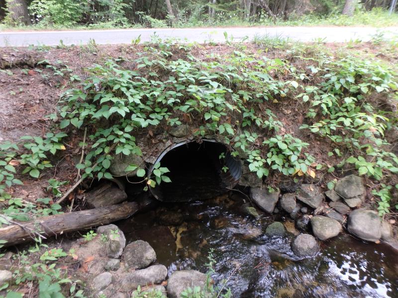
Inlet
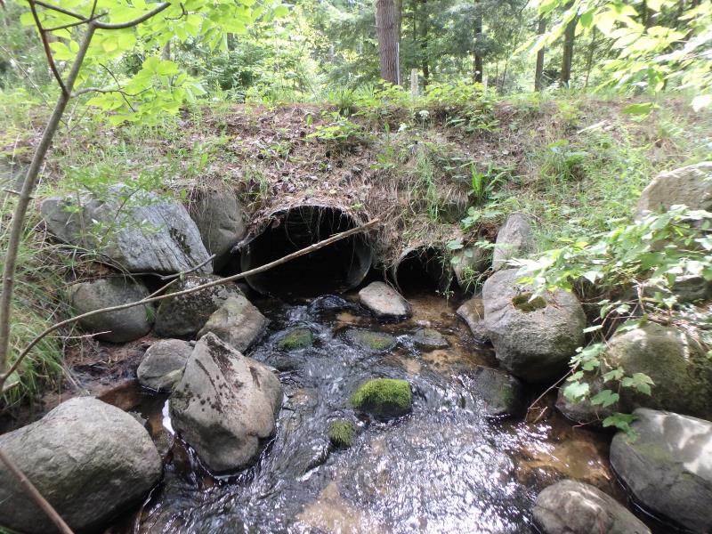
Outlet
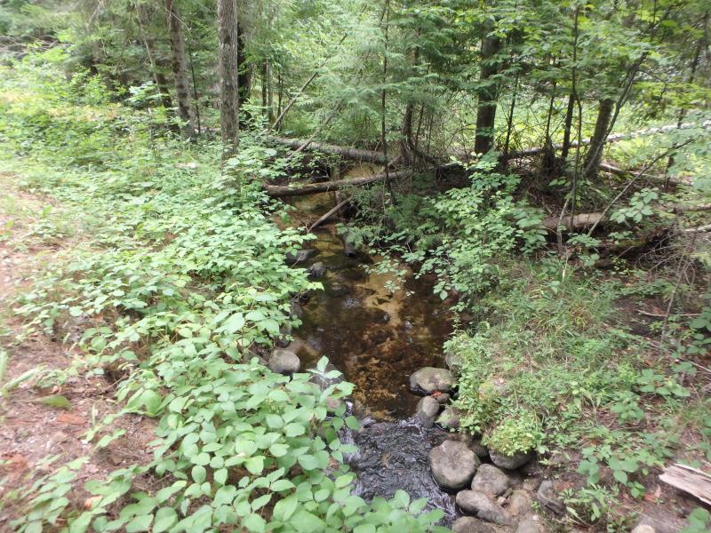
Upstream Conditions
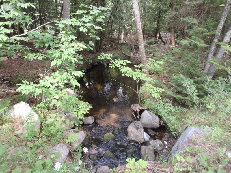
Downstream Conditions
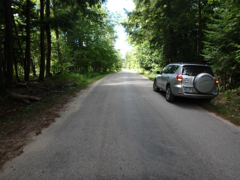
Road Approach - Left
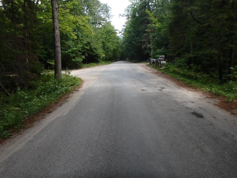
Road Approach - Right
Crossing Information
Type of Crossing: culvert(s)
Number of Structures: 2
Structure Shape: Round
Inlet Type: Projecting
Outlet Type: At Stream Grade
Structure Material: Metal
Structure Substrate: None
General Conditions: Fair
Multiple Culverts/Spans | ||||
Culvert/Span | Width | Length | Height | Material |
1 |
1.5 ft. |
26.9 ft. |
1.5 ft. |
Metal |
2 |
3.4 ft. |
27.6 ft. |
3.5 ft. |
Metal |
Structure Interior: corrugated
Dimensions of Structure: Length 26.9 ft.
, Width 1.5 ft.
, Height 1.5 ft.
Percentage Plugged:
Inlet: 76% to 100%
Structure Inlet
Water Depth: 0.3 ft.
Embedded Depth of Structure: 0 ft.
Water Velocity*: 2.5 ft./sec.
Structure Outlet
Water Depth: 0.2 ft.
Embedded Depth of Structure: 0 ft.
Water Velocity*: 3 ft./sec.
*Water Velocities were measured at the Surface
(with Meter)
Stream Information
Stream Flow: Less than 1/2 Bankfull
Scour Pool: Length 16 ft.
, Width 10.3 ft.
, Depth 0.85 ft.
Riffle Information
Water Depth: 0.1 ft.
Bankfull Width: 7.5 ft.
Wetted Width: 6.7 ft.
Water Velocity: 1.3 ft./sec.
Dominant Substrate: Gravel
Road Information
Paved
Town Road
Road Condition: Fair
Road Width at Culvert: 14.8 ft.
Location of Low Point: At Stream
Runoff Path: Ditch
Embankments
Upstream
Fill Depth: 2.7 ft.
Slope: 1:1
Downstream
Fill Depth: 2.1 ft.
Slope: 1:1
Approaches
Left Approach
Length: 646 ft.
Slope: 1% to 5%
Vegetation: Heavy
LS Factor: 0.527
Erosion: 0.1665 tons/year
Right Approach
Length: 696 ft.
Slope: 1% to 5%
Vegetation: Heavy
LS Factor: 0.534
Erosion: 0.182 tons/year
Erosion Information
Total Erosion at Crossing: 0.464 tons/year
Extent of Erosion: Moderate
Location of Erosion | Erosion Dimensions | Eroded Material | Material Eroded | Total Erosion | ||
facing downstream | Length | Width | Depth | Reaching Stream? | (tons/year) | |
Left Upstream Embankment |
3 ft. |
3.7 ft. |
5 ft. |
yes |
Sand |
0.1155 |
Summary Information
Fish Passability 0.5
Erosion is an area of concern for this site.
These non-native species were observerd at this site: Spotted Knapweed, Queen Anne's Lace
�