Road Stream Crossing Site GTBAY_LEE057
West Bay Shoreline & Tributaries Watershed, Unnamed
Davis Rd
Leelanau Twp,
Leelanau County
Information collected by:
Site Location
GPS Coordinates: 45.076793823
, -85.600573719
T31N
R11W
Sec 23
Owned by Private
Perch Height: 1.6 ft.
Severity: Severe
Year Inventoried: 2020
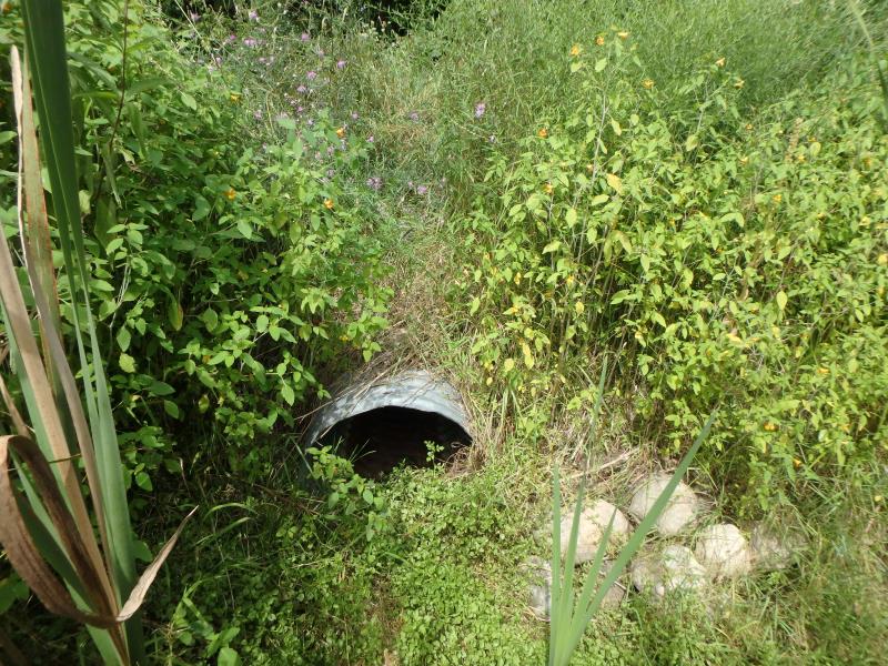
Inlet
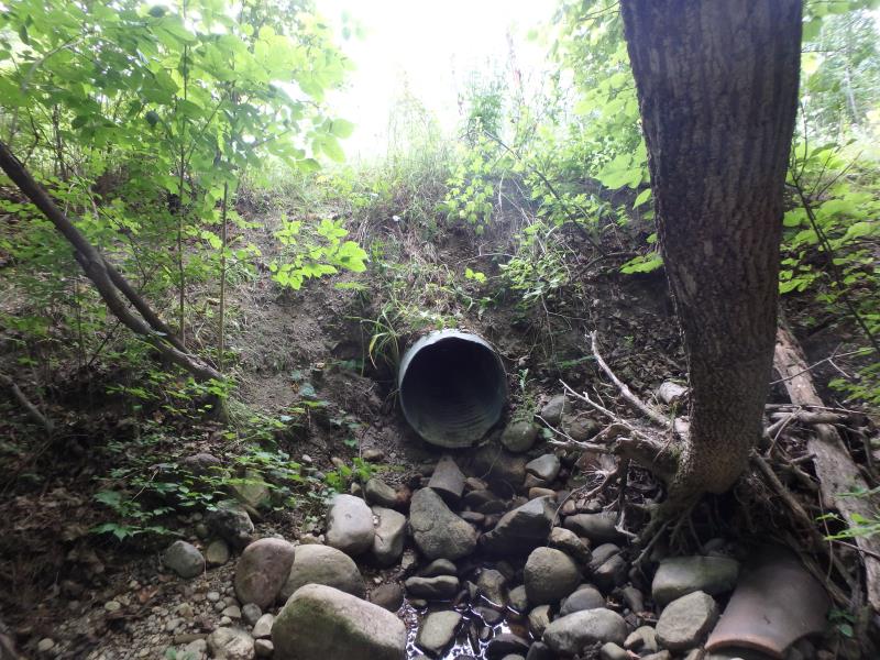
Outlet
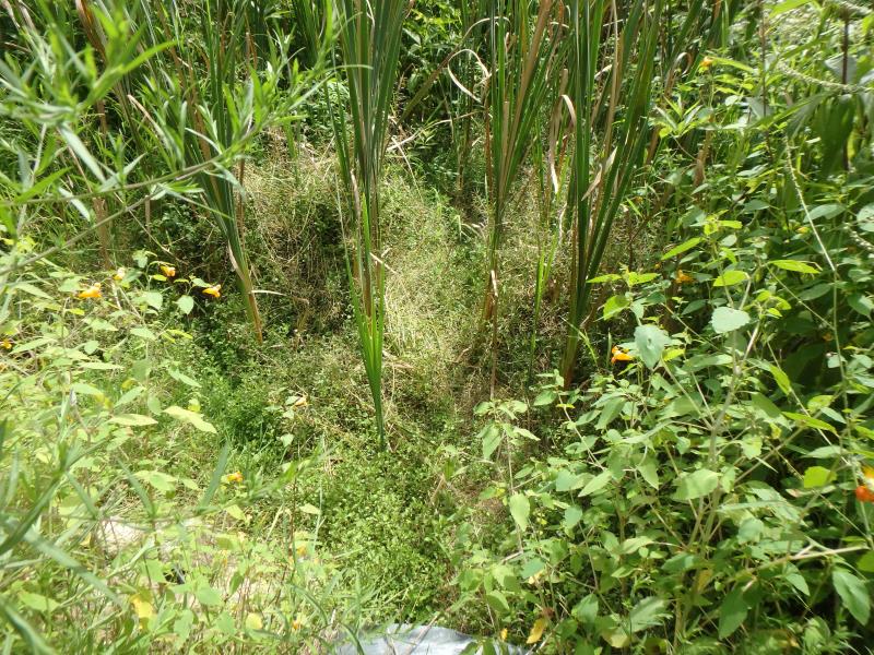
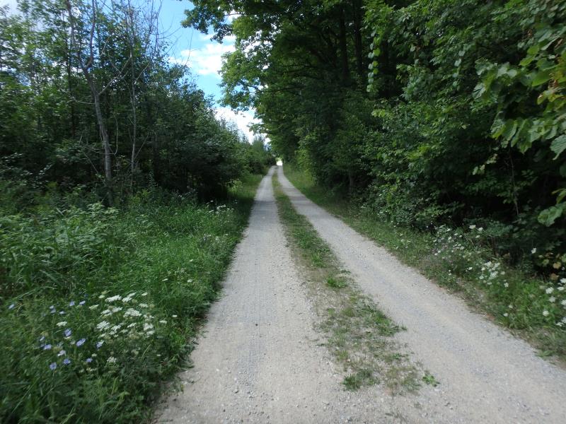
Upstream Conditions
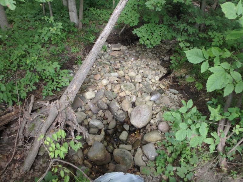
Downstream Conditions
Road Approach - Left
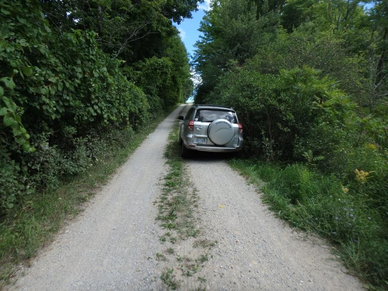
Road Approach - Right
Crossing Information
Type of Crossing: culvert(s)
Number of Structures: 1
Structure Shape: Round
Inlet Type: Projecting
Outlet Type: Freefall into Pool
Structure Material: Metal
Structure Substrate: None
General Conditions: Good
Structure Interior: corrugated
Dimensions of Structure: Length 17.9 ft.
, Width 2.2 ft.
, Height 2.2 ft.
Perch Height: 1.6 ft.
Water Depth: 0 ft.
Embedded Depth of Structure: 0 ft.
Water Velocity*: 0 ft./sec.
Water Depth: 0 ft.
Embedded Depth of Structure: 0 ft.
Water Velocity*: 0 ft./sec.
*Water Velocities were measured at the Surface
Stream Information
Stream Flow: None
Scour Pool: Length 8.7 ft.
, Width 7.1 ft.
, Depth 1.2 ft.
Road Information
Gravel
County Road
(Seasonal)
Road Condition: Fair
Road Width at Culvert: 8.7 ft.
Location of Low Point: At Stream
Runoff Path: Roadway
Embankments
Upstream
Fill Depth: 3.5 ft.
Slope: Vertical
Downstream
Fill Depth: 2.8 ft.
Slope: Vertical
Length: 236.8 ft.
Slope: 6% to 10%
Vegetation: Heavy
Length: 455.4 ft.
Slope: > 10%
Vegetation: Heavy
Erosion Information
Extent of Erosion: Severe
Erosion is occurring and corrective actions can be installed to address the problem.
Location of Erosion | Erosion Dimensions | Eroded Material | Material Eroded | Total Erosion | ||
facing downstream | Length | Width | Depth | Reaching Stream? | (tons/year) | |
Left Downstream Embankment |
3.3 ft. |
4.6 ft. |
5.6 ft. |
yes |
Sand |
|
Right Downstream Embankment |
4.6 ft. |
2.2 ft. |
5.6 ft. |
yes |
Sand |
|
Left Upstream Embankment |
3.2 ft. |
2.6 ft. |
2.7 ft. |
yes |
Sand |
|
Summary Information
Fish Passage and Erosion is an area of concern for this site.
Streambed dry, perched culvert, and extreme erosion
�