Road Stream Crossing Site GTBAY_LEE058
West Bay Shoreline & Tributaries Watershed, Weaver Creek
Tatch
Leelanau Twp,
Leelanau County
Information collected by:
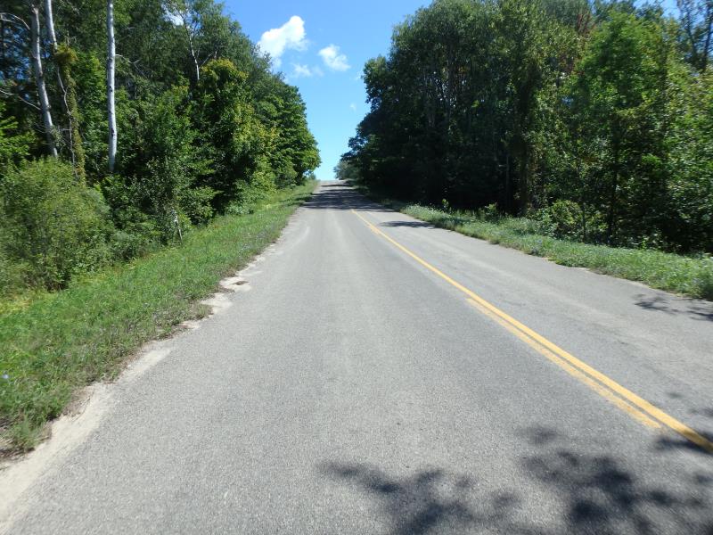
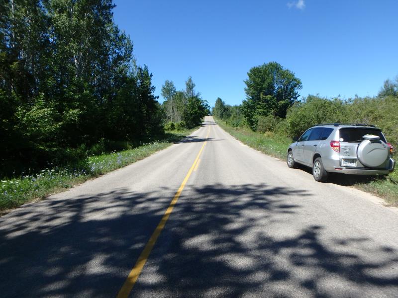
Site Location
GPS Coordinates: 45.05496433
, -85.61267979
T31N
R11W
Sec 27
Owned by Private
Severity: Severe
Year Inventoried: 2020
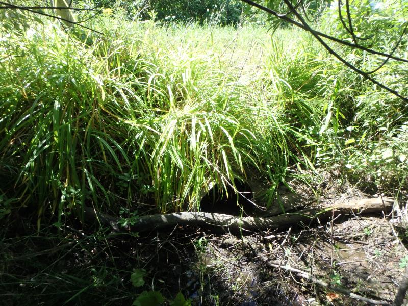
Inlet
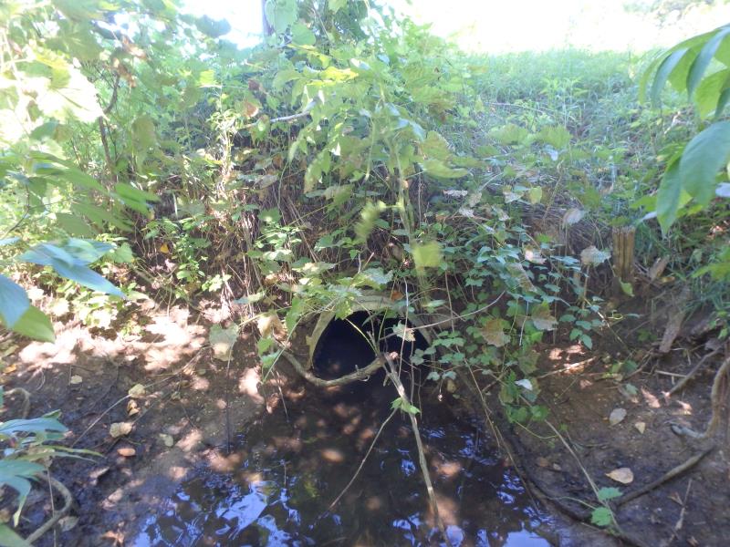
Outlet
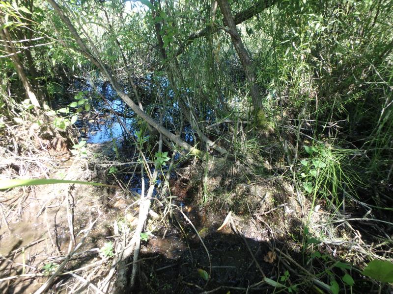
Upstream Conditions
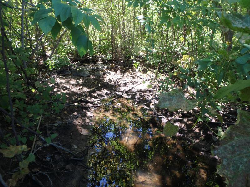
Downstream Conditions
Road Approach - Left
Road Approach - Right
Crossing Information
Type of Crossing: culvert(s)
Number of Structures: 1
Structure Shape: Round
Inlet Type: Projecting
Outlet Type: At Stream Grade
Structure Material: Metal
Structure Substrate: None
General Conditions: Good
Structure Interior: corrugated
Dimensions of Structure: Length 56.1 ft.
, Width 2 ft.
, Height 1.8 ft.
Structure Outlet
Water Depth: 0.1 ft.
Stream Information
Stream Flow: None
Road Information
Paved
County Road
Road Condition: Fair
Road Width at Culvert: 25.2 ft.
Location of Low Point: Other
Runoff Path: Ditch
Embankments
Upstream
Fill Depth: 3.7 ft.
Slope: 1:1
Downstream
Fill Depth: 4.4 ft.
Slope: 1:1.5
Length: 808.5 ft.
Slope: 6% to 10%
Vegetation: Heavy
Erosion Information
Summary Information
Fish Passage is an area of concern for this site.
Dried up
�