Road Stream Crossing Site GTBAY_LEE061
West Bay Shoreline & Tributaries Watershed, Unnamed
Putnam Rd
Leelanau Twp,
Leelanau County
Information collected by:
Site Location
GPS Coordinates: 45.06948866
, -85.61808536
T31N
R11W
Sec 22
Owned by Private
Total Erosion: 1.9525 tons/year
Severity: Moderate
Year Inventoried: 2020
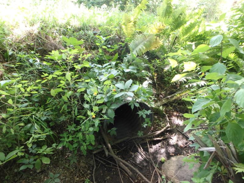
Inlet
Outlet
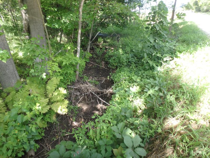
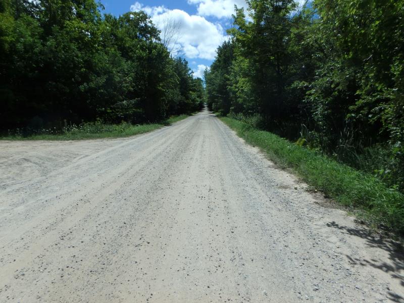
Upstream Conditions
Downstream Conditions
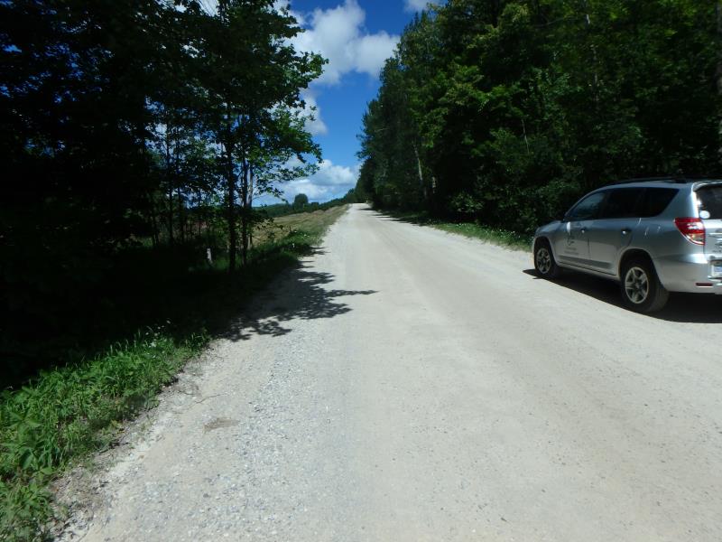
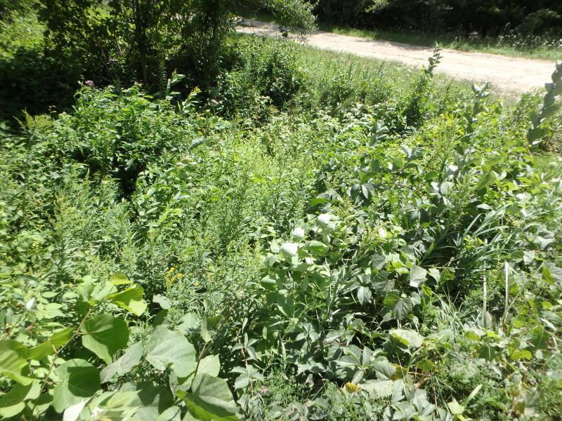
Road Approach - Left
Road Approach - Right
Crossing Information
Type of Crossing: culvert(s)
Number of Structures: 1
Structure Shape: Round
Inlet Type: Projecting
Outlet Type: At Stream Grade
Structure Material: Metal
Structure Substrate: None
General Conditions: Good
Structure Interior: corrugated
Dimensions of Structure: Length 42.9 ft.
, Width 2 ft.
, Height 2.1 ft.
Water Depth: 0 ft.
Embedded Depth of Structure: 0 ft.
Water Velocity*: 0 ft./sec.
Water Depth: 0 ft.
Embedded Depth of Structure: 0 ft.
Water Velocity*: 0 ft./sec.
*Water Velocities were measured at the Surface
Stream Information
Stream Flow: None
Road Information
Gravel
Town Road
Road Condition: Fair
Road Width at Culvert: 22 ft.
Location of Low Point: Other
Runoff Path: Ditch
Embankments
Upstream
Fill Depth: 2.9 ft.
Slope: Vertical
Downstream
Fill Depth: 3.2 ft.
Slope: Vertical
Approaches
Left Approach
Length: 500 ft.
Slope: 1% to 5%
Vegetation: Partial
LS Factor: 0.64
Erosion: 1.9394 tons/year
Right Approach
Length: 25 ft.
Slope: Less Than 1%
Vegetation: Heavy
LS Factor: 0.05
Erosion: 0.0076 tons/year
Erosion Information
Total Erosion at Crossing: 1.9525 tons/year
Extent of Erosion: Minor
Erosion is occurring and corrective actions can be installed to address the problem.
Location of Erosion | Erosion Dimensions | Eroded Material | Material Eroded | Total Erosion | ||
facing downstream | Length | Width | Depth | Reaching Stream? | (tons/year) | |
Right Upstream Embankment |
2.1 ft. |
1.8 ft. |
2.4 ft. |
yes |
Sand |
0.0055 |
Summary Information
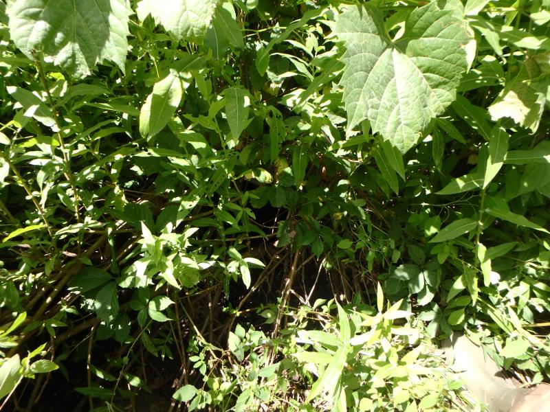
These non-native species were observerd at this site: Spotted Knapweed, Queen Anne's Lace
�