Road Stream Crossing Site GTBAY_LEE063
West Bay Shoreline & Tributaries Watershed, Weaver Creek
Davis Rd
Leelanau Twp,
Leelanau County
Information collected by:
Site Location
GPS Coordinates: 45.07679952
, -85.61437754
T31N
R11W
Sec 22
Owned by Private
Total Erosion: 0.4981 tons/year
Severity: Minor
Year Inventoried: 2020
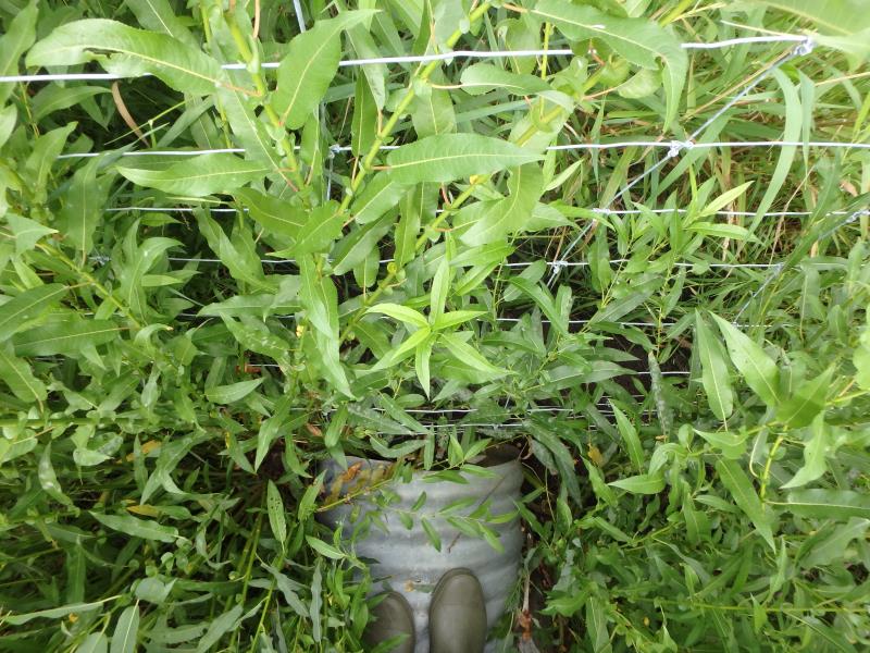
Inlet
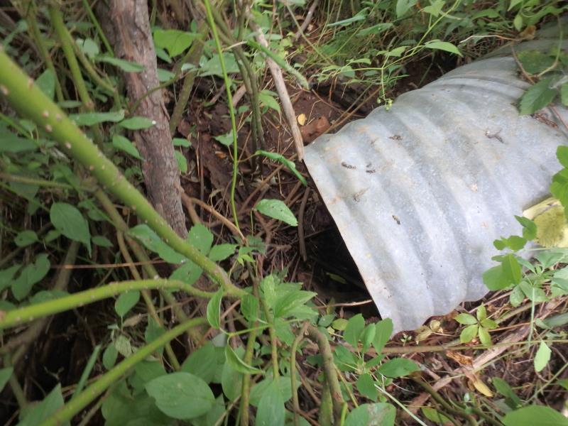
Outlet
Upstream Conditions
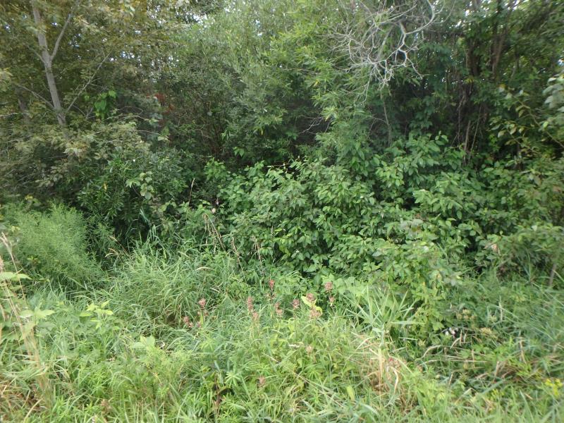
Downstream Conditions
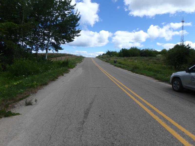
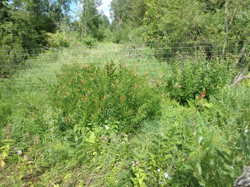
Road Approach - Left
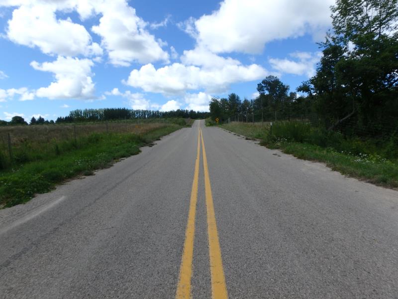
Road Approach - Right
Crossing Information
Type of Crossing: culvert(s)
Number of Structures: 1
Structure Shape: Round
Inlet Type: Projecting
Outlet Type: Freefall into Pool
Structure Material: Metal
Structure Substrate: None
General Conditions: Good
Structure Interior: corrugated
Dimensions of Structure: Length 69.8 ft.
, Width 1.8 ft.
, Height 1.6 ft.
Water Depth: 0 ft.
Embedded Depth of Structure: 0 ft.
Water Velocity*: 0 ft./sec.
Water Depth: 0 ft.
Embedded Depth of Structure: 0 ft.
Water Velocity*: 0 ft./sec.
Stream Information
Stream Flow: None
Road Information
Paved
Town Road
Road Condition: Fair
Road Width at Culvert: 28.9 ft.
Location of Low Point: At Stream
Runoff Path: Ditch
Embankments
Upstream
Fill Depth: 3.6 ft.
Slope: 1:2
Downstream
Fill Depth: 3.8 ft.
Slope: 1:1
Approaches
Left Approach
Length: 551 ft.
Slope: 1% to 5%
Vegetation: Partial
LS Factor: 0.66
Erosion: 0.3476 tons/year
Right Approach
Length: 337 ft.
Slope: 1% to 5%
Vegetation: Heavy
LS Factor: 0.467
Erosion: 0.1505 tons/year
Erosion Information
Total Erosion at Crossing: 0.4981 tons/year
Summary Information
Fish Passage is an area of concern for this site.
�