Road Stream Crossing Site GTBAY_LEE064
West Bay Shoreline & Tributaries Watershed, Unnamed
Davis Rd
Leelanau Twp,
Leelanau County
Information collected by:
Site Location
GPS Coordinates: 45.07685468
, -85.60913835
T31N
R11W
Sec 22
Owned by Private
Total Erosion: 0.575 tons/year
Severity: Minor
Year Inventoried: 2020
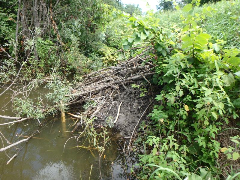
Inlet
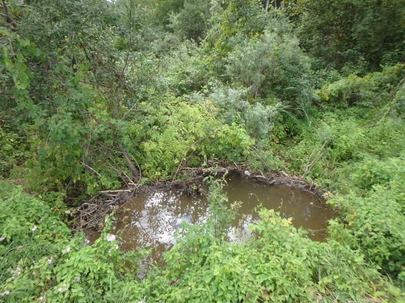
Outlet
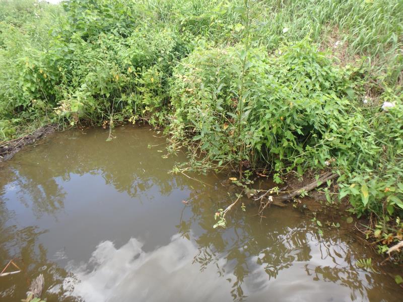
Upstream Conditions
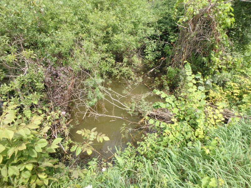
Downstream Conditions
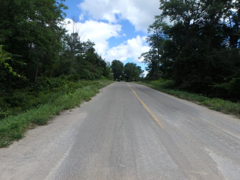
Road Approach - Left
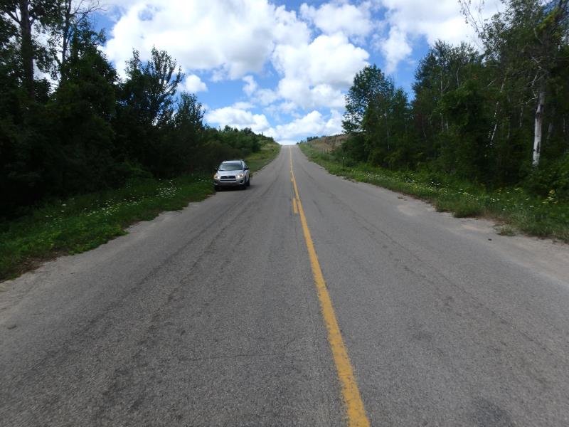
Road Approach - Right
Crossing Information
Type of Crossing: culvert(s)
Number of Structures: 1
Structure Shape: Round
Inlet Type: Projecting
Outlet Type: At Stream Grade
Structure Material: Metal
Structure Substrate: Mixture
General Conditions: Fair
Structure Interior: corrugated
Dimensions of Structure: Length 52.7 ft.
, Width 1.3 ft.
, Height 1.4 ft.
Structure Inlet
Water Depth: 0.4 ft.
Embedded Depth of Structure: 0.1 ft.
Water Velocity*: 1.5 ft./sec.
Structure Outlet
Water Depth: 0.3 ft.
Embedded Depth of Structure: 0.1 ft.
Water Velocity*: 0 ft./sec.
*Water Velocities were measured 0.2 ft. below Surface
(with Meter)
Additional Comments
Dammed by beaver activity
Stream Information
Stream Flow: Less than 1/2 Bankfull
Road Information
Paved
County Road
Road Condition: Good
Road Width at Culvert: 27.8 ft.
Location of Low Point: At Stream
Runoff Path: Roadway
Embankments
Upstream
Fill Depth: 4.8 ft.
Slope: 1:1
Downstream
Fill Depth: 5.1 ft.
Slope: 1:1
Approaches
Left Approach
Length: 336.6 ft.
Slope: 1% to 5%
Vegetation: Heavy
LS Factor: 0.467
Erosion: 0.1446 tons/year
Right Approach
Length: 844.8 ft.
Slope: 1% to 5%
Vegetation: Heavy
LS Factor: 0.554
Erosion: 0.4305 tons/year
Erosion Information
Total Erosion at Crossing: 0.575 tons/year
Summary Information
These non-native species were observerd at this site: Spotted Knapweed, Goat's Beard
�