Road Stream Crossing Site GTBAY_LEE065
West Bay Shoreline & Tributaries Watershed, Unnamed
Overlook Rd
Leelanau Twp,
Leelanau County
Information collected by:
Site Location
GPS Coordinates: 45.07393467
, -85.60781694
T31N
R11W
Sec 22
Owned by Private
Fish Passability 0
Perch Height: 0.1 ft.
Total Erosion: 2.8788 tons/year
Severity: Severe
Year Inventoried: 2020
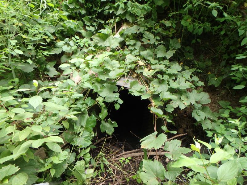
Inlet
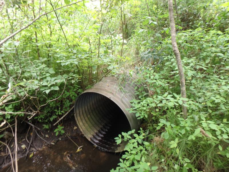
Outlet
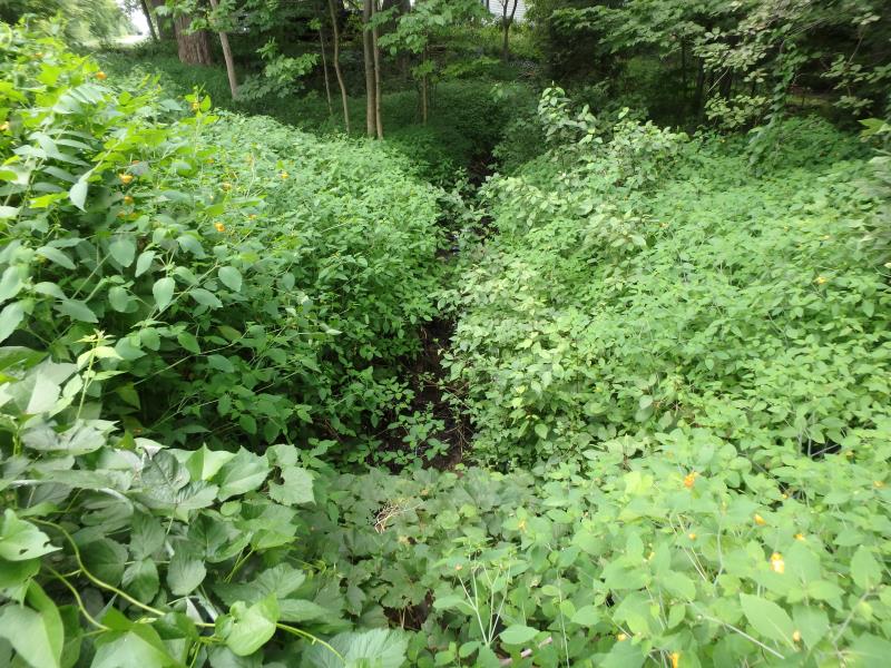
Upstream Conditions
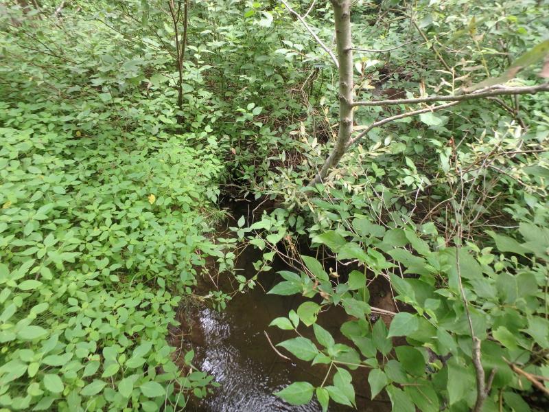
Downstream Conditions
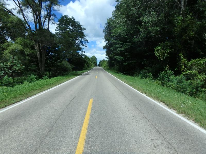
Road Approach - Left
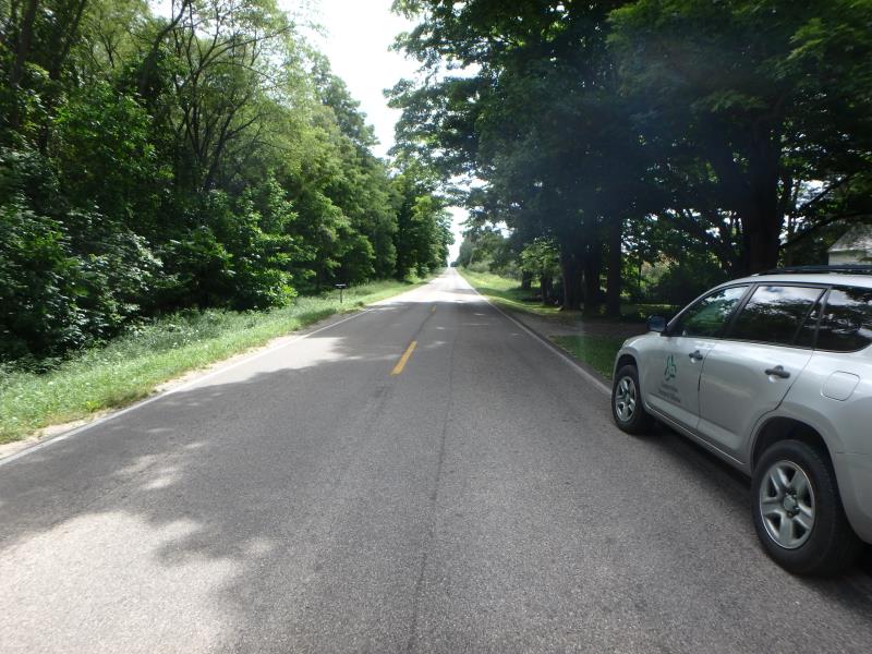
Road Approach - Right
Crossing Information
Type of Crossing: culvert(s)
Number of Structures: 1
Structure Shape: Round
Inlet Type: Projecting
Outlet Type: At Stream Grade
Structure Material: Metal
Structure Substrate: None
General Conditions: Good
Structure Interior: corrugated
Dimensions of Structure: Length 62.3 ft.
, Width 2.9 ft.
, Height 3.1 ft.
Perch Height: 0.1 ft.
Structure Inlet
Water Depth: 0.1 ft.
Embedded Depth of Structure: 0 ft.
Water Velocity*: 0.1 ft./sec.
Structure Outlet
Water Depth: 0.1 ft.
Embedded Depth of Structure: 0 ft.
Water Velocity*: 0.5 ft./sec.
*Water Velocities were measured 0.15 ft. below Surface
(with Meter)
Additional Comments
Small dam upstream. Photos show culvert perched .1 or so. Low flow in structure, below .1 depth. Not passable at time of photos. Change Passability to 0, keep severity ranking.
Stream Information
Stream Flow: Less than 1/2 Bankfull
Riffle Information
Water Depth: 0.15 ft.
Bankfull Width: 6.5 ft.
Wetted Width: 1.7 ft.
Water Velocity: 0.9 ft./sec.
(Measured with Meter)
Dominant Substrate: Gravel
Road Information
Gravel
County Road
Road Condition: Good
Road Width at Culvert: 20.9 ft.
Location of Low Point: At Stream
Runoff Path: Ditch
Embankments
Upstream
Fill Depth: 5.9 ft.
Slope: Vertical
Downstream
Fill Depth: 6.4 ft.
Slope: Vertical
Approaches
Left Approach
Length: 500 ft.
Slope: 1% to 5%
Vegetation: Heavy
LS Factor: 0.5
Erosion: 1.4394 tons/year
Right Approach
Length: 500 ft.
Slope: 1% to 5%
Vegetation: Heavy
LS Factor: 0.5
Erosion: 1.4394 tons/year
Erosion Information
Total Erosion at Crossing: 2.8788 tons/year
Summary Information
Fish Passability 0
Fish Passage is an area of concern for this site.
Dam upstream
�