Road Stream Crossing Site GTBAY_LEE066
West Bay Shoreline & Tributaries Watershed, Unnamed
Melkild Rd
Leelanau Twp,
Leelanau County
Information collected by:
Site Location
GPS Coordinates: 45.13236182
, -85.63720079
T32N
R11W
Sec 33
Owned by Private
Fish Passability 0.9
Total Erosion: 0.9225 tons/year
Severity: Moderate
Year Inventoried: 2020
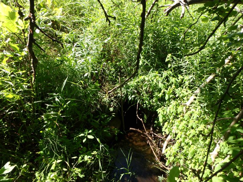
Inlet
Outlet
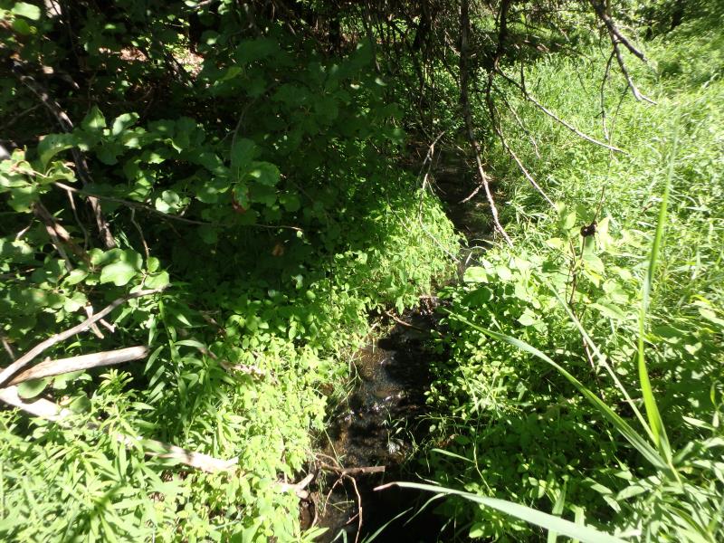
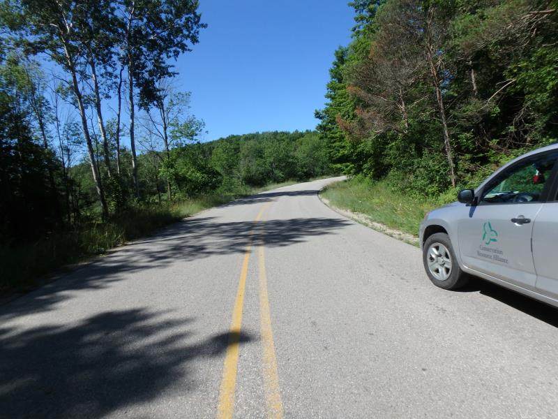
Upstream Conditions
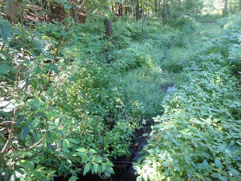
Downstream Conditions
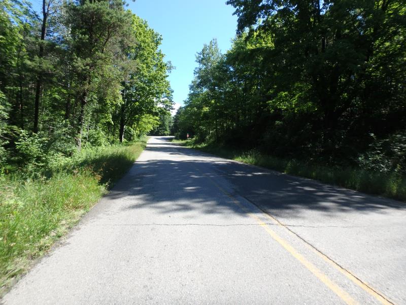
Road Approach - Left
Road Approach - Right
Crossing Information
Type of Crossing: culvert(s)
Number of Structures: 1
Structure Shape: Round
Inlet Type: Projecting
Outlet Type: Other
Structure Material: Metal
Structure Substrate: Mixture
General Conditions: Poor
Dimensions of Structure: Length 52.2 ft.
, Width 1.4 ft.
, Height 1.4 ft.
Percentage Plugged:
In Pipe: 76% to 100%
Structure Inlet
Water Depth: 0.2 ft.
Embedded Depth of Structure: 0.1 ft.
Water Velocity*: 0.5 ft./sec.
Structure Outlet
Water Depth: 0.5 ft.
Embedded Depth of Structure: 0 ft.
Water Velocity*: 0.2 ft./sec.
*Water Velocities were measured 0.1 ft. below Surface
(with Meter)
Stream Information
Stream Flow: Less than 1/2 Bankfull
Riffle Information
Water Depth: 0.1 ft.
Bankfull Width: 12 ft.
Wetted Width: 4.5 ft.
Water Velocity: 0.2 ft./sec.
(Measured with Meter)
Dominant Substrate: Organics
Road Information
Paved
County Road
Road Condition: Fair
Road Width at Culvert: 27 ft.
Location of Low Point: At Stream
Runoff Path: Roadway
Embankments
Upstream
Fill Depth: 3.3 ft.
Slope: 1:1.5
Downstream
Fill Depth: 4.5 ft.
Slope: 1:1
Approaches
Left Approach
Length: 844.8 ft.
Slope: 1% to 5%
Vegetation: Partial
LS Factor: 0.761
Erosion: 0.574 tons/year
Right Approach
Length: 580.8 ft.
Slope: 1% to 5%
Vegetation: Partial
LS Factor: 0.672
Erosion: 0.3485 tons/year
Erosion Information
Total Erosion at Crossing: 0.9225 tons/year
Summary Information
Fish Passability 0.9
Fish Passage is an area of concern for this site.
Plugged Culvert
These non-native species were observerd at this site: Spotted Knapweed, Sweet White Clover
�