Road Stream Crossing Site GTBAY_LEE067
West Bay Shoreline & Tributaries Watershed, Northport Creek
Third Street
Leelanau Twp,
Leelanau County
Information collected by:
Site Location
GPS Coordinates: 45.13124409
, -85.62327367
T32N
R11W
Sec 34
Owned by Private
Fish Passability 0
Perch Height: 1 ft.
Total Erosion: 0.4849 tons/year
Severity: Severe
Year Inventoried: 2020
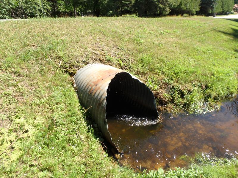
Inlet
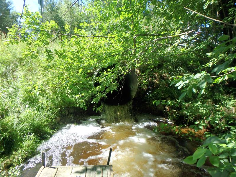
Outlet
Upstream Conditions
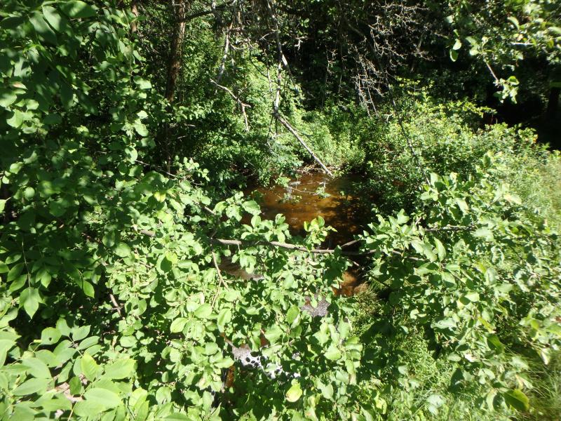
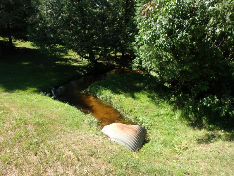
Downstream Conditions
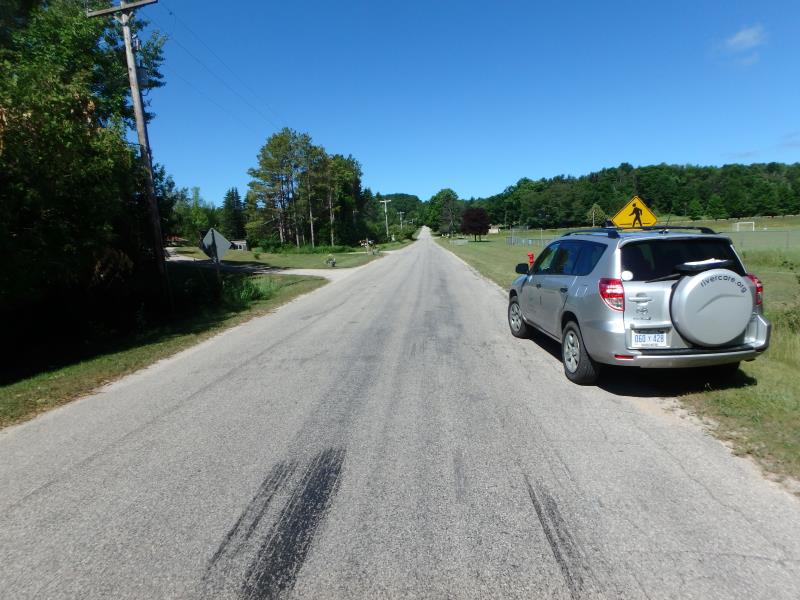
Road Approach - Left
Road Approach - Right
Crossing Information
Type of Crossing: culvert(s)
Number of Structures: 1
Structure Shape: Round
Inlet Type: Projecting
Outlet Type: Freefall into Pool
Structure Material: Metal
Structure Substrate: None
General Conditions: Fair
Structure Interior: corrugated
, Height 3.5 ft.
Percentage Crushed:
Inlet: 26% to 50%
Outlet: 0%
In Pipe: 0%
Perch Height: 1 ft.
Structure Inlet
Water Depth: 0.7 ft.
Embedded Depth of Structure: 0.2 ft.
Water Velocity*: 5 ft./sec.
Structure Outlet
Water Depth: 0.4 ft.
Embedded Depth of Structure: 0 ft.
Water Velocity*: 4.5 ft./sec.
*Water Velocities were measured 0.2 ft. below Surface
(with Meter)
Stream Information
Stream Flow: Less than 1/2 Bankfull
Scour Pool: Length 15.4 ft.
, Width 12.6 ft.
, Depth 1.15 ft.
Riffle Information
Water Depth: 0.4 ft.
Bankfull Width: 18.2 ft.
Wetted Width: 5.1 ft.
Water Velocity: 3 ft./sec.
(Measured with Meter)
Dominant Substrate: Gravel
Road Information
Paved
Town Road
Road Condition: Fair
Road Width at Culvert: 22 ft.
Location of Low Point: Other
Runoff Path: Roadway
Embankments
Upstream
Fill Depth: 1.4 ft.
Slope: 1:2
Downstream
Fill Depth: 1.6 ft.
Slope: Less than 1:2
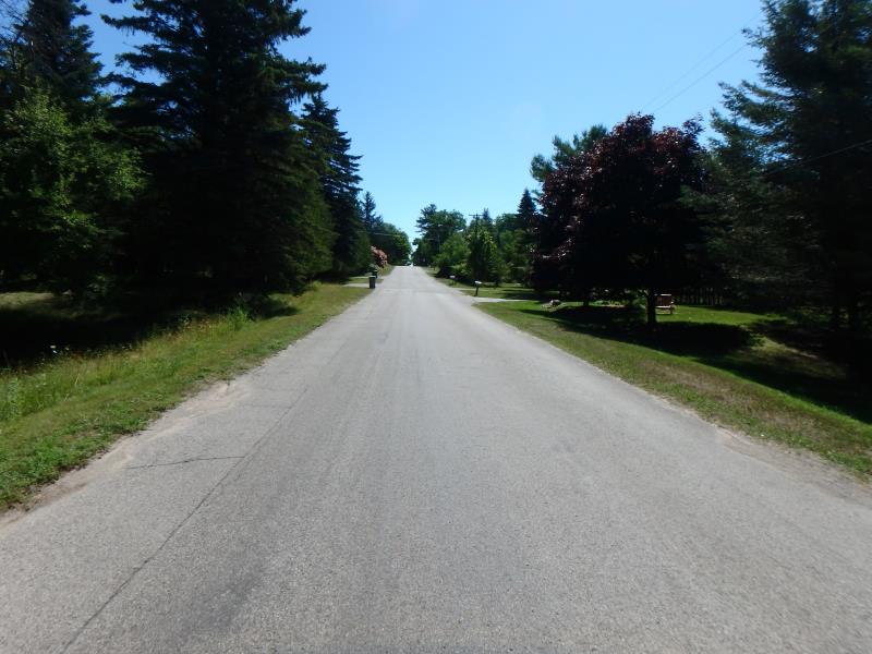
Approaches
Left Approach
Length: 50 ft.
Slope: Less Than 1%
Vegetation: Partial
LS Factor: 0.05
Erosion: 0.0018 tons/year
Right Approach
Length: 818.4 ft.
Slope: 1% to 5%
Vegetation: Partial
LS Factor: 0.755
Erosion: 0.4491 tons/year
Erosion Information
Total Erosion at Crossing: 0.4849 tons/year
Extent of Erosion: Moderate
Erosion is occurring and corrective actions can be installed to address the problem.
Notes: Looks like erosion fabric installed, but not right around culvert, erosion is still taking place
Location of Erosion | Erosion Dimensions | Eroded Material | Material Eroded | Total Erosion | ||
facing downstream | Length | Width | Depth | Reaching Stream? | (tons/year) | |
Left Downstream Embankment |
2.2 ft. |
2.5 ft. |
2 ft. |
yes |
Sand |
0.0339 |
Summary Information
Fish Passability 0
Erosion is an area of concern for this site.
Erosion around pipe and culvert not in good shape
These non-native species were observerd at this site: Sweet White Clover
�