Road Stream Crossing Site GTBAY_LEE069
West Bay Shoreline & Tributaries Watershed, Northport Creek
Mill Street
Leelanau Twp,
Leelanau County
Information collected by:
Site Location
GPS Coordinates: 45.13022795
, -85.61599097
T32N
R11W
Sec 34
Owned by Private
Fish Passability 0.5
Total Erosion: 0.6002 tons/year
Severity: Moderate
Year Inventoried: 2020
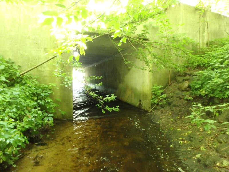
Inlet
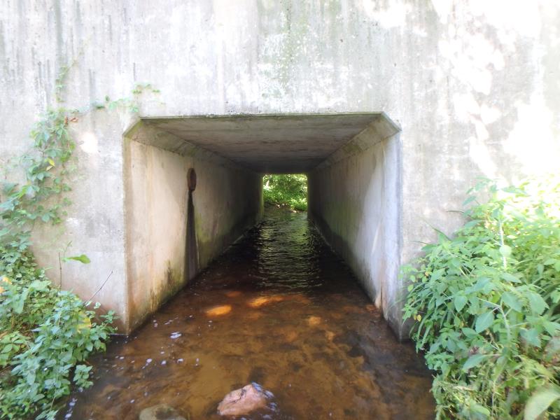
Outlet
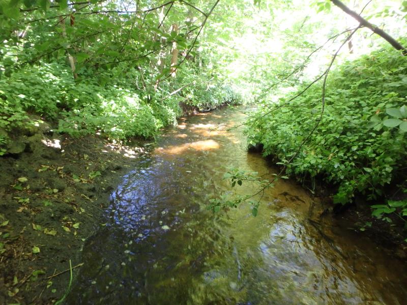
Upstream Conditions
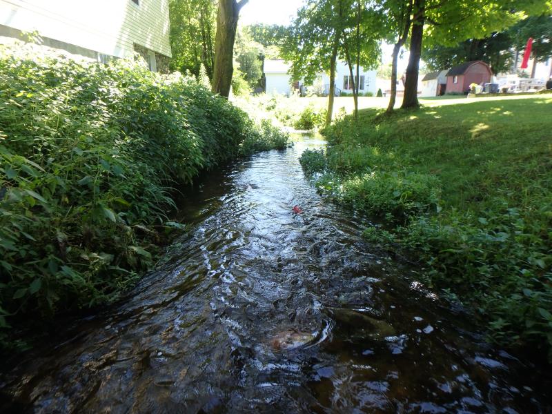
Downstream Conditions
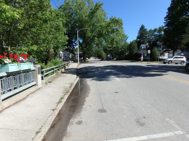
Road Approach - Left
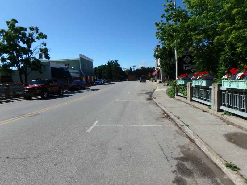
Road Approach - Right
Crossing Information
Type of Crossing: Bridge
Structure Shape: Square/Rectangle
Inlet Type: Headwall
Outlet Type: At Stream Grade
Structure Material: Concrete
Structure Substrate: Mixture
General Conditions: Good
Structure Interior: smooth
Dimensions of Structure: Length 53.5 ft.
, Width 8.9 ft.
, Height 8.3 ft.
Structure Inlet
Water Depth: 0.25 ft.
Embedded Depth of Structure: 0 ft.
Water Velocity*: 2.3 ft./sec.
Structure Outlet
Water Depth: 0.5 ft.
Embedded Depth of Structure: 0.5 ft.
Water Velocity*: 2.2 ft./sec.
*Water Velocities were measured 0.3 ft. below Surface
(with Meter)
Additional Comments
Inlet velocity seems higher and inconsistent with other velocity measurements. Inlet velocity checked - change to 2.3. change Passability score to .5. Change severity to Moderate.
Stream Information
Stream Flow: Less than 1/2 Bankfull
Riffle Information
Water Depth: 0.2 ft.
Bankfull Width: 15.6 ft.
Wetted Width: 9.5 ft.
Water Velocity: 1.2 ft./sec.
(Measured with Meter)
Dominant Substrate: Cobble
Road Information
Paved
State Road
Road Condition: Fair
Road Width at Culvert: 40.2 ft.
Location of Low Point: At Stream
Runoff Path: Roadway
Embankments
Upstream
Fill Depth: 4.7 ft.
Slope: Vertical
Downstream
Fill Depth: 6.7 ft.
Slope: Vertical
Approaches
Left Approach
Length: 384 ft.
Slope: 1% to 5%
Vegetation: None
LS Factor: 0.782
Erosion: 0.3993 tons/year
Right Approach
Length: 241 ft.
Slope: 1% to 5%
Vegetation: None
LS Factor: 0.627
Erosion: 0.2009 tons/year
Erosion Information
Total Erosion at Crossing: 0.6002 tons/year
Summary Information
Fish Passability 0.5
�