Road Stream Crossing Site GTBAY_LEE071
West Bay Shoreline & Tributaries Watershed, Northport Creek
Park Dr
Leelanau Twp,
Leelanau County
Information collected by:
Site Location
GPS Coordinates: 45.13045636
, -85.61673386
T32N
R11W
Sec 34
Owned by Local Government
Private
Private
Fish Passability 0
Perch Height: 0.1 ft.
Total Erosion: 1.8254 tons/year
Severity: Severe
Year Inventoried: 2020
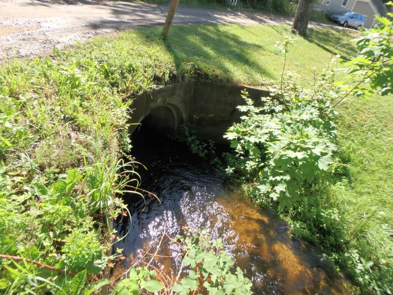
Inlet
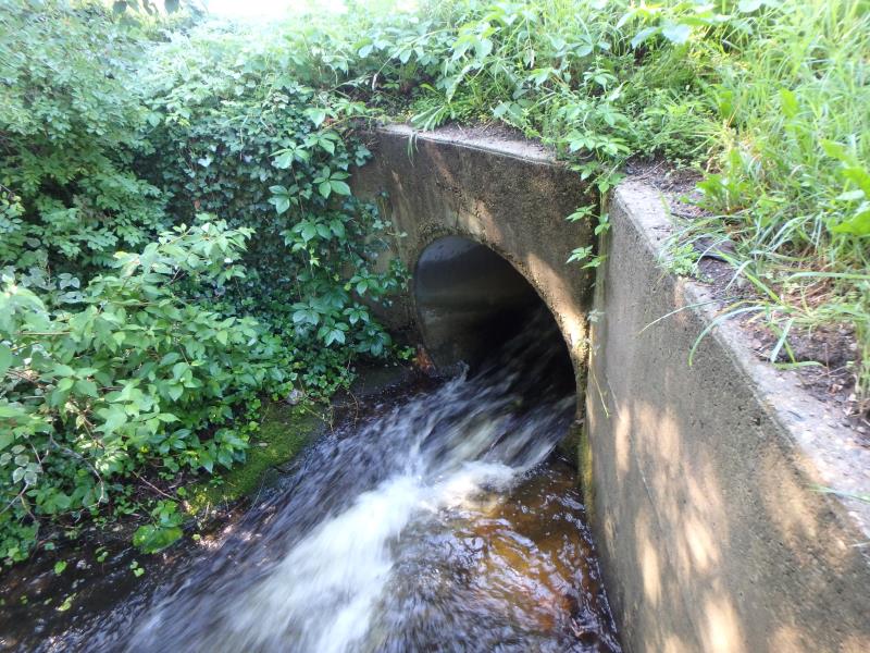
Outlet
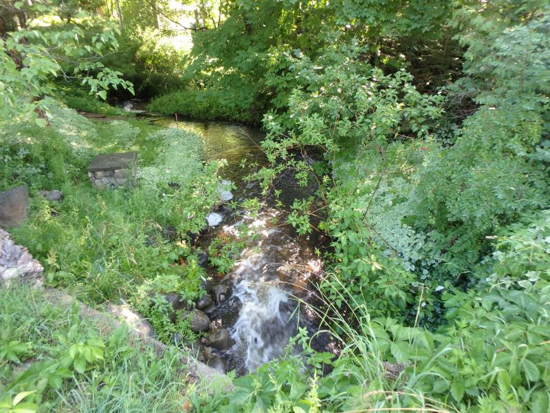
Upstream Conditions
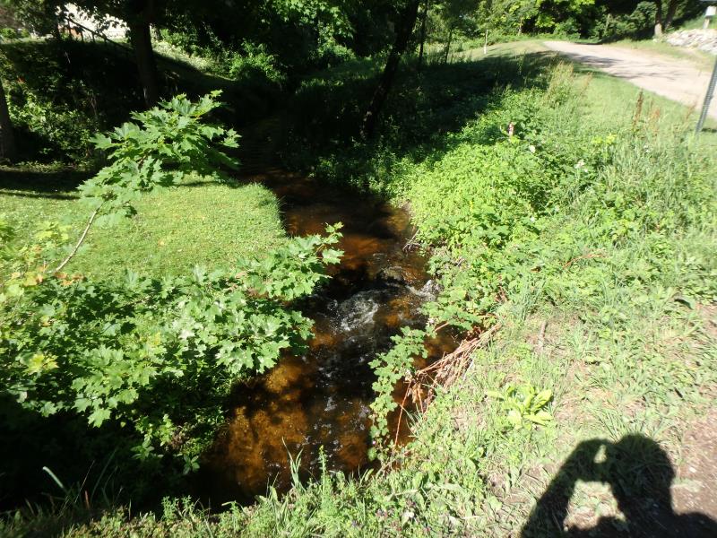
Downstream Conditions
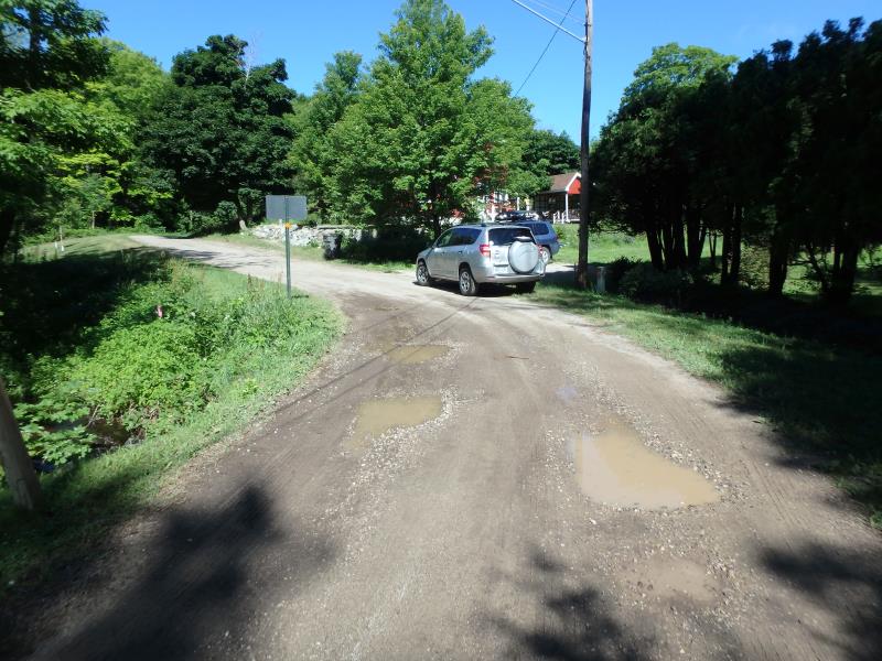
Road Approach - Left
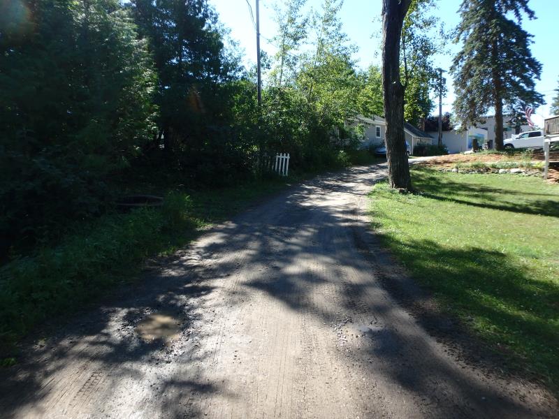
Road Approach - Right
Crossing Information
Type of Crossing: culvert(s)
Number of Structures: 1
Structure Shape: Round
Inlet Type: Headwall
Outlet Type: Freefall into Pool
Structure Material: Concrete
Structure Substrate: None
General Conditions: Fair
Structure Interior: smooth
Dimensions of Structure: Length 21 ft.
, Width 3.6 ft.
, Height 4.1 ft.
Perch Height: 0.1 ft.
Structure Inlet
Water Depth: 1.1 ft.
Embedded Depth of Structure: 0.25 ft.
Water Velocity*: 4.4 ft./sec.
Structure Outlet
Water Depth: 0.4 ft.
Embedded Depth of Structure: 0 ft.
Water Velocity*: 16.1 ft./sec.
*Water Velocities were measured 3.4 ft. below Surface
(with Meter)
Stream Information
Stream Flow: Bankfull
Upstream Pond: Length 3.7 ft.
, Width 10.2 ft.
, Depth 0.6 ft.
Riffle Information
Water Depth: 0.9 ft.
Bankfull Width: 16 ft.
Wetted Width: 6.8 ft.
Water Velocity: 2.9 ft./sec.
(Measured with Meter)
Dominant Substrate: Gravel
Road Information
Gravel
Private Road
Road Condition: Fair
Road Width at Culvert: 13.6 ft.
Location of Low Point: At Stream
Embankments
Upstream
Fill Depth: 1.7 ft.
Slope: Vertical
Downstream
Fill Depth: 2.8 ft.
Slope: Vertical
Approaches
Left Approach
Length: 198 ft.
Slope: 6% to 10%
Vegetation: Partial
LS Factor: 1.442
Erosion: 1.07 tons/year
Right Approach
Length: 156.8 ft.
Slope: 6% to 10%
Vegetation: Partial
LS Factor: 1.286
Erosion: 0.7554 tons/year
Erosion Information
Total Erosion at Crossing: 1.8254 tons/year
Summary Information
Fish Passability 0
These non-native species were observerd at this site: Reed Canary Grass
�