Road Stream Crossing Site GTBAY_LEE075
West Bay Shoreline & Tributaries Watershed, Lee Creek
M-22
Bingham Twp,
Leelanau County
Information collected by:
Site Location
GPS Coordinates: 44.94093021
, -85.6335058
T29N
R11W
Sec 03
Owned by Private
Total Erosion: 0.3372 tons/year
Severity: Minor
Year Inventoried: 2020
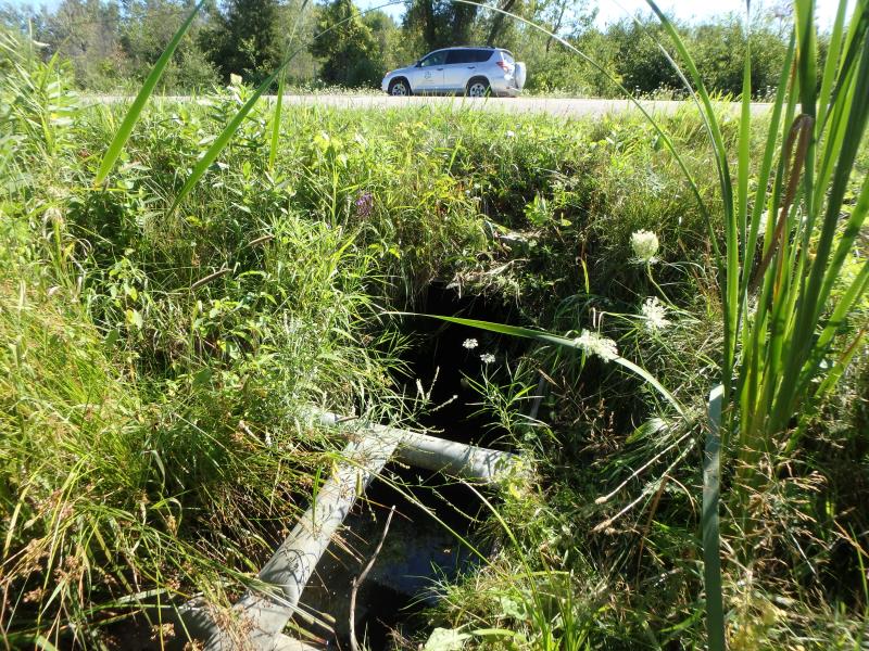
Inlet
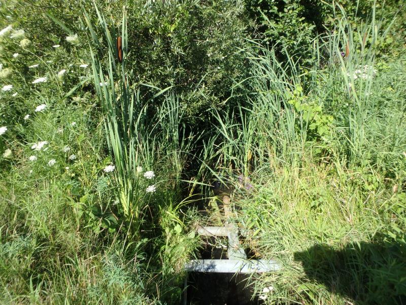
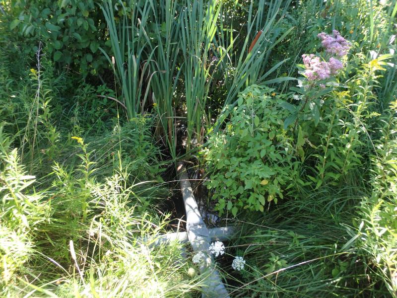
Outlet
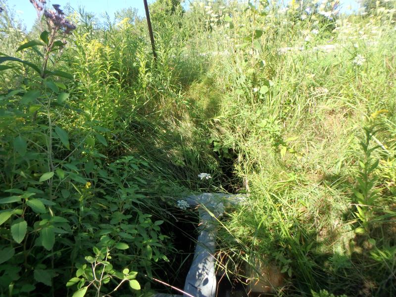
Upstream Conditions
Downstream Conditions
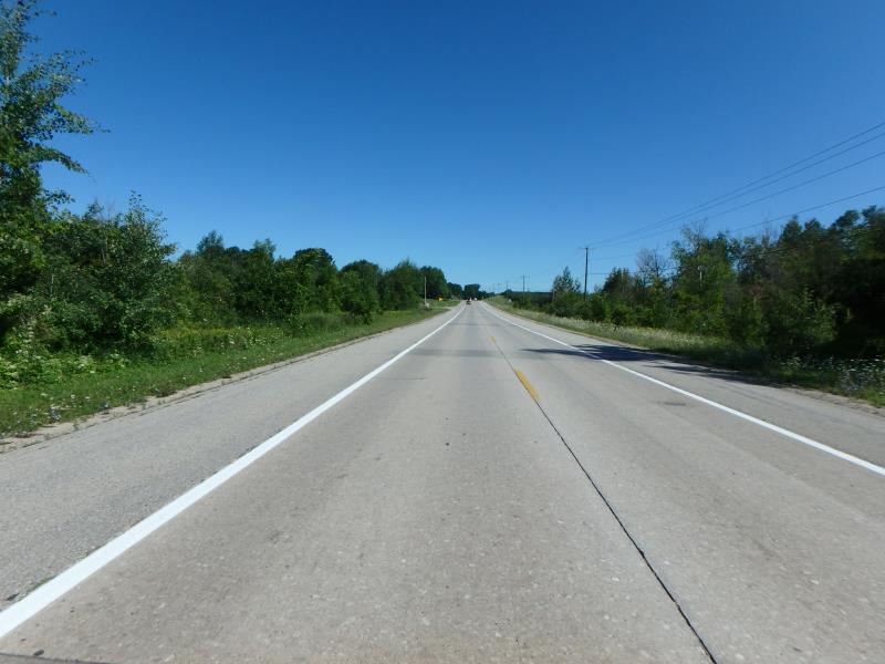
Road Approach - Left
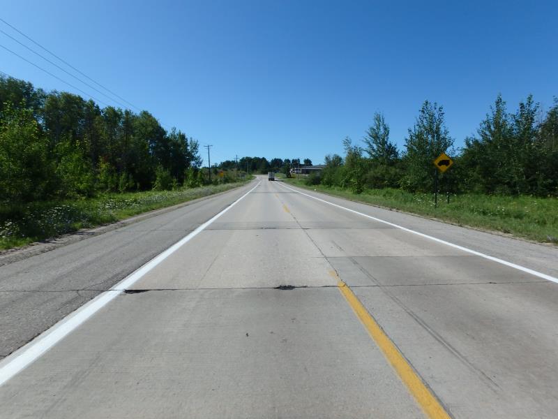
Road Approach - Right
Crossing Information
Type of Crossing: culvert(s)
Number of Structures: 1
Structure Shape: Round
Inlet Type: Trash Rack
Outlet Type: Outlet Apron
Structure Material: Metal
Structure Substrate: Sand
General Conditions: Good
Structure Interior: smooth
Dimensions of Structure: Length 60 ft.
, Width 2.8 ft.
, Height 2.8 ft.
Structure Inlet
Water Depth: 0.9 ft.
Embedded Depth of Structure: 0 ft.
Water Velocity*: 0 ft./sec.
Structure Outlet
Water Depth: 1 ft.
Embedded Depth of Structure: 0 ft.
Water Velocity*: 0 ft./sec.
*Water Velocities were measured at the Surface
(with Float Test)
Stream Information
Stream Flow: Less than 1/2 Bankfull
Dominant Substrate: Organics
Road Information
Paved
State Road
Road Condition: Good
Road Width at Culvert: 40.4 ft.
Location of Low Point: Other
Runoff Path: Ditch
Embankments
Upstream
Fill Depth: 2.1 ft.
Slope: 1:2
Downstream
Fill Depth: 2.4 ft.
Slope: 1:2
Approaches
Left Approach
Length: 500 ft.
Slope: 1% to 5%
Vegetation: Heavy
LS Factor: 0.5
Erosion: 0.3339 tons/year
Right Approach
Length: 50 ft.
Slope: Less Than 1%
Vegetation: Heavy
LS Factor: 0.05
Erosion: 0.0033 tons/year
Erosion Information
Total Erosion at Crossing: 0.3372 tons/year
Erosion is occurring and corrective actions can be installed to address the problem.
Summary Information
Fish Passage is an area of concern for this site.
No flow/ dry areas
These non-native species were observerd at this site: Queen Anne's Lace, Autumn Olive, Spotted Knapweed
�