Road Stream Crossing Site GTBAY_LEE078
West Bay Shoreline & Tributaries Watershed, Unnamed
Hilltop Rd
Bingham Twp,
Leelanau County
Information collected by:
Site Location
GPS Coordinates: 44.90678611
, -85.63556867
T29N
R11W
Sec 21
Owned by Local Government
Private
Private
Total Erosion: 0.2724 tons/year
Severity: Minor
Year Inventoried: 2020
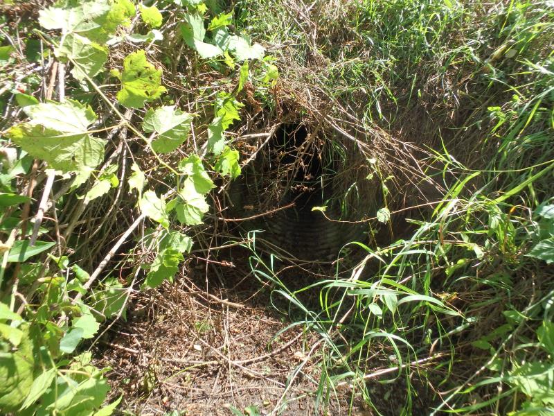
Inlet
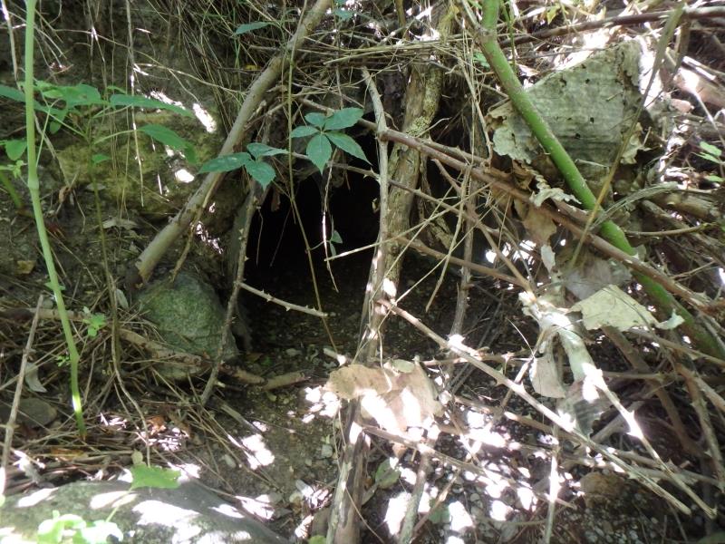
Outlet
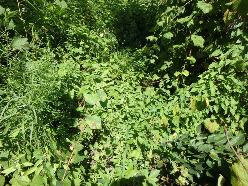
Upstream Conditions
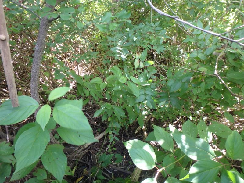
Downstream Conditions
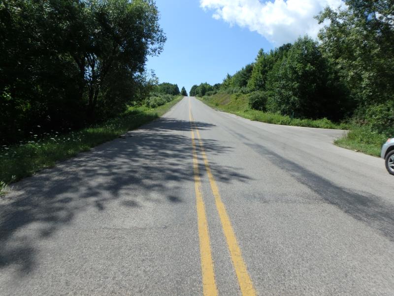
Road Approach - Left

Road Approach - Right
Crossing Information
Type of Crossing: culvert(s)
Number of Structures: 1
Structure Shape: Round
Inlet Type: Projecting
Outlet Type: At Stream Grade
Structure Material: Metal
Structure Substrate: None
General Conditions: Good
Structure Interior: corrugated
Dimensions of Structure: Length 48.2 ft.
, Width 2.4 ft.
, Height 2.4 ft.
Water Depth: 0 ft.
Embedded Depth of Structure: 0 ft.
Water Velocity*: 0 ft./sec.
Water Depth: 0 ft.
Embedded Depth of Structure: 0 ft.
Water Velocity*: 0 ft./sec.
Stream Information
Stream Flow: None
Road Information
Paved
Town Road
Road Condition: Fair
Road Width at Culvert: 32.8 ft.
Location of Low Point: Other
Runoff Path: Ditch
Embankments
Upstream
Fill Depth: 2.4 ft.
Slope: 1:1
Downstream
Fill Depth: 3.7 ft.
Slope: 1:1
Approaches
Left Approach
Length: 25 ft.
Slope: Less Than 1%
Vegetation: Heavy
LS Factor: 0.05
Erosion: 0.0014 tons/year
Right Approach
Length: 500 ft.
Slope: 1% to 5%
Vegetation: Heavy
LS Factor: 0.5
Erosion: 0.2711 tons/year
Erosion Information
Total Erosion at Crossing: 0.2724 tons/year
Summary Information
Fish Passage is an area of concern for this site.
�