Road Stream Crossing Site GTBAY_LEE080
West Bay Shoreline & Tributaries Watershed, Unnamed
Smedley Rd
Elmwood Twp,
Leelanau County
Information collected by:
Site Location
GPS Coordinates: 44.81945163
, -85.67207856
T28N
R11W
Sec 17
Owned by Private
Total Erosion: 0.924 tons/year
Severity: Minor
Year Inventoried: 2020
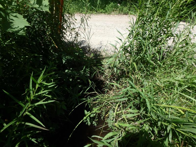
Inlet
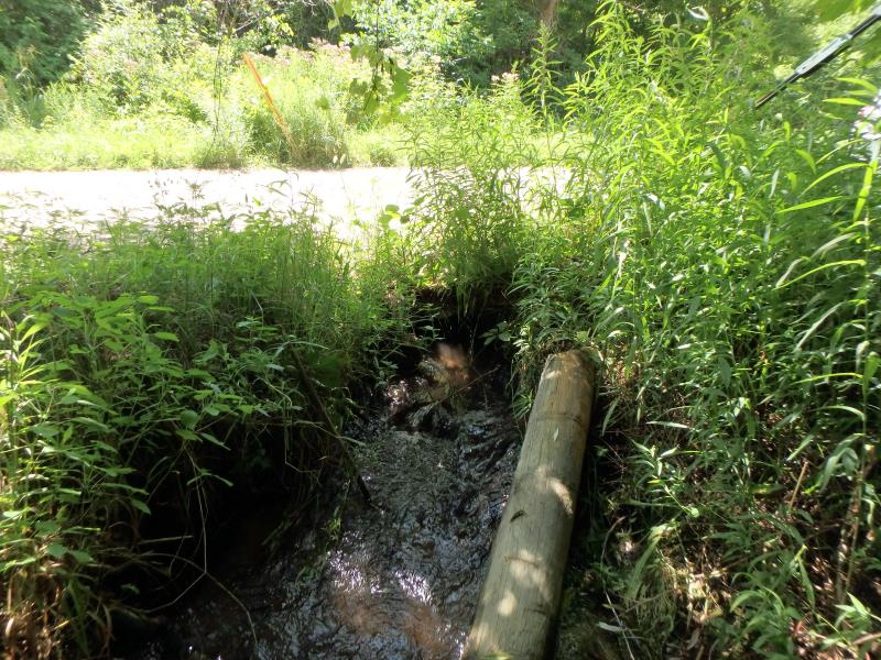
Outlet
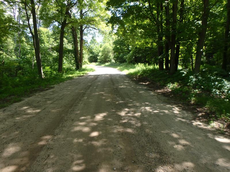
Upstream Conditions
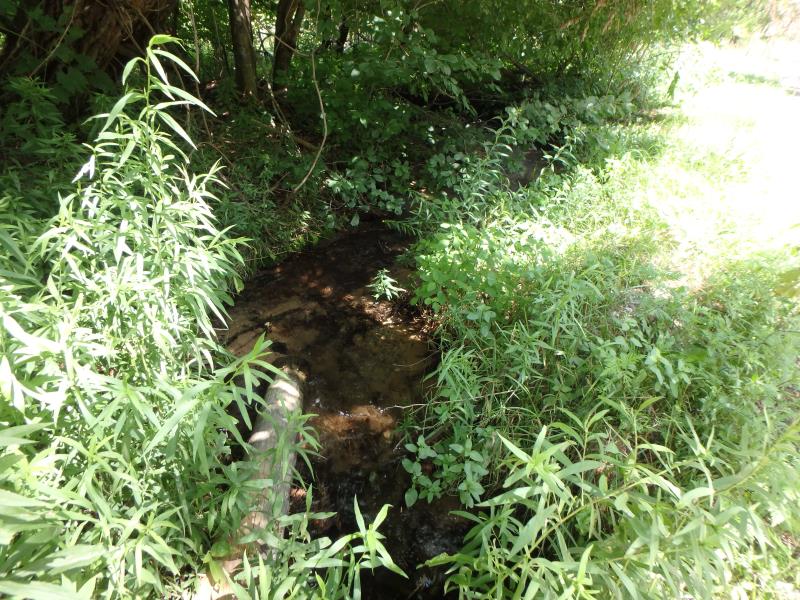
Downstream Conditions
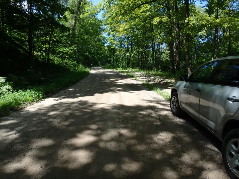
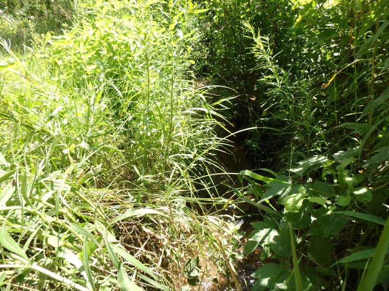
Road Approach - Left
Road Approach - Right
Crossing Information
Type of Crossing: culvert(s)
Number of Structures: 1
Structure Shape: Round
Inlet Type: Projecting
Outlet Type: At Stream Grade
Structure Material: Metal
Structure Substrate: None
General Conditions: Fair
Structure Interior: corrugated
Dimensions of Structure: Length 30.3 ft.
, Width 1.3 ft.
, Height 1.1 ft.
Water Depth: 0 ft.
Embedded Depth of Structure: 0 ft.
Water Velocity*: 0 ft./sec.
Water Depth: 0 ft.
Embedded Depth of Structure: 0 ft.
Water Velocity*: 0 ft./sec.
Stream Information
Stream Flow: None
Road Information
Gravel
Town Road
Road Condition: Fair
Road Width at Culvert: 23.3 ft.
Runoff Path: Ditch
Embankments
Upstream
Fill Depth: 0.7 ft.
Slope: Less than 1:2
Downstream
Fill Depth: 1 ft.
Slope: Less than 1:2
Approaches
Left Approach
Length: 309 ft.
Slope: 1% to 5%
Vegetation: Heavy
LS Factor: 0.462
Erosion: 0.9159 tons/year
Right Approach
Length: 25 ft.
Slope: Less Than 1%
Vegetation: Heavy
LS Factor: 0.05
Erosion: 0.008 tons/year
Erosion Information
Total Erosion at Crossing: 0.924 tons/year
Summary Information
Fish Passage is an area of concern for this site.
No flow
A future visit to this site is recommended. See what conditions are like when flowing
�