Road Stream Crossing Site GTBAY_LEE081
West Bay Shoreline & Tributaries Watershed, Unnamed
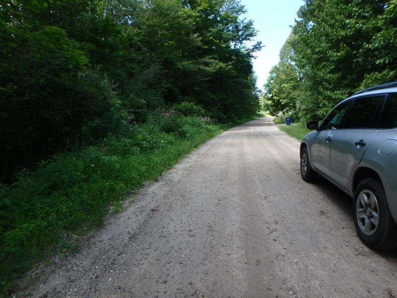
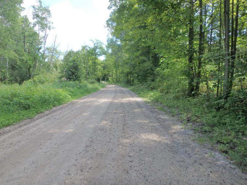
Smedley Rd
Elmwood Twp,
Leelanau County
Information collected by:
Site Location
GPS Coordinates: 44.81964869
, -85.67329679
T28N
R11W
Sec 17
Owned by Private
Fish Passability 0.9
Total Erosion: 1.2313 tons/year
Severity: Moderate
Year Inventoried: 2020
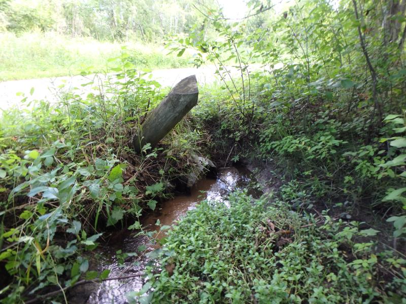
Inlet
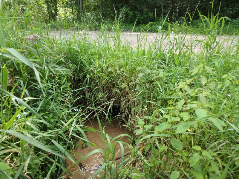
Outlet

Upstream Conditions

Downstream Conditions
Road Approach - Left
Road Approach - Right
Crossing Information
Type of Crossing: culvert(s)
Number of Structures: 1
Structure Shape: Round
Inlet Type: Projecting
Outlet Type: At Stream Grade
Structure Material: Metal
Structure Substrate: Sand
General Conditions: Poor
Structure Interior: corrugated
Dimensions of Structure: Length 25.4 ft.
, Width 1.3 ft.
, Height 1.3 ft.
Percentage Plugged:
Outlet: 76% to 100%
Structure Inlet
Water Depth: 0.4 ft.
Embedded Depth of Structure: 0.4 ft.
Water Velocity*: 0.2 ft./sec.
Structure Outlet
Water Depth: 0.4 ft.
Embedded Depth of Structure: 0.5 ft.
Water Velocity*: 0.2 ft./sec.
*Water Velocities were measured 0.2 ft. below Surface
(with Meter)
Riffle Information
Water Depth: 0.3 ft.
Bankfull Width: 4.5 ft.
Wetted Width: 2.9 ft.
Water Velocity: 0.2 ft./sec.
(Measured with Meter)
Dominant Substrate: Sand
Road Information
Gravel
Town Road
Road Condition: Fair
Road Width at Culvert: 18.9 ft.
Location of Low Point: Other
Runoff Path: Ditch
Embankments
Upstream
Fill Depth: 1.1 ft.
Slope: 1:1
Downstream
Fill Depth: 1 ft.
Slope: 1:1
Approaches
Left Approach
Length: 475.2 ft.
Slope: 1% to 5%
Vegetation: Heavy
LS Factor: 0.495
Erosion: 1.2248 tons/year
Right Approach
Length: 25 ft.
Slope: Less Than 1%
Vegetation: Heavy
LS Factor: 0.05
Erosion: 0.0065 tons/year
Erosion Information
Total Erosion at Crossing: 1.2313 tons/year
Summary Information
Fish Passability 0.9
Fish Passage is an area of concern for this site.
Bank fallen in and is blocking culvert
�