Road Stream Crossing Site GTBAY_LEE083
West Bay Shoreline & Tributaries Watershed, Unnamed
Bluewater Dr
Elmwood Twp,
Leelanau County
Information collected by:
Site Location
GPS Coordinates: 44.81892541
, -85.66355576
T28N
R11W
Sec 17
Owned by Private
Fish Passability 0.5
Total Erosion: 3.7761 tons/year
Severity: Severe
Year Inventoried: 2020
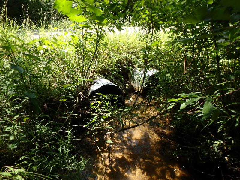
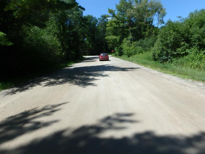
Inlet
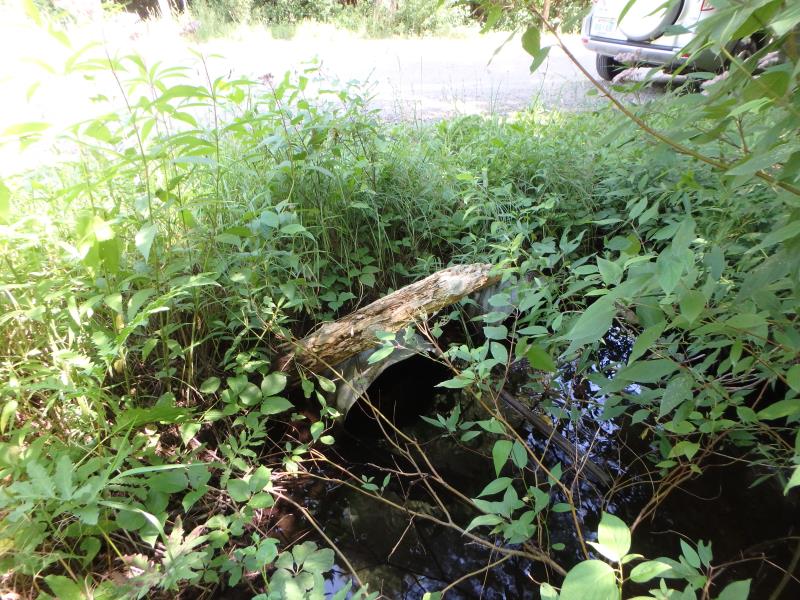
Outlet
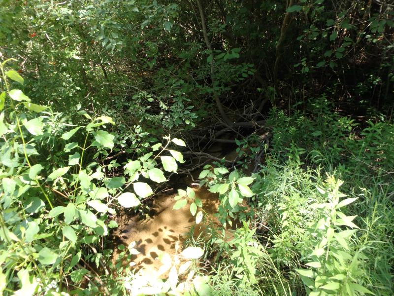
Upstream Conditions
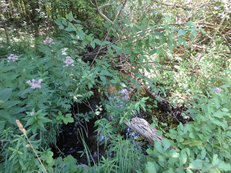
Downstream Conditions
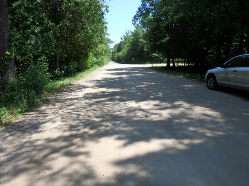
Road Approach - Left
Road Approach - Right
Crossing Information
Type of Crossing: culvert(s)
Number of Structures: 2
Structure Shape: Round
Inlet Type: Projecting
Outlet Type: At Stream Grade
Structure Material: Metal
Structure Substrate: Mixture
General Conditions: Fair
Multiple Culverts/Spans | ||||
Culvert/Span | Width | Length | Height | Material |
1 |
1.8 ft. |
40.2 ft. |
1.8 ft. |
Metal |
2 |
1.8 ft. |
40.4 ft. |
1.9 ft. |
Metal |
Structure Interior: smooth
Dimensions of Structure: Length 40.2 ft.
, Width 1.8 ft.
, Height 1.8 ft.
Structure Inlet
Water Depth: 0.4 ft.
Embedded Depth of Structure: 0.5 ft.
Water Velocity*: 2 ft./sec.
Structure Outlet
Water Depth: 1 ft.
Embedded Depth of Structure: 0.4 ft.
Water Velocity*: 0.9 ft./sec.
*Water Velocities were measured 0.8 ft. below Surface
(with Meter)
Additional Comments
Water depth and velocity recorded for culvert #1
Stream Information
Stream Flow: Less than 1/2 Bankfull
Riffle Information
Water Depth: 0.5 ft.
Bankfull Width: 6.1 ft.
Wetted Width: 3.7 ft.
Water Velocity: 0.6 ft./sec.
(Measured with Meter)
Dominant Substrate: Sand
Road Information
Gravel
Town Road
Road Condition: Fair
Road Width at Culvert: 27.4 ft.
Location of Low Point: At Stream
Runoff Path: Ditch
Embankments
Upstream
Fill Depth: 0.9 ft.
Slope: Vertical
Downstream
Fill Depth: 1.3 ft.
Slope: Less than 1:2
Approaches
Left Approach
Length: 500 ft.
Slope: 1% to 5%
Vegetation: Heavy
LS Factor: 0.5
Erosion: 1.8871 tons/year
Right Approach
Length: 500 ft.
Slope: 1% to 5%
Vegetation: Heavy
LS Factor: 0.5
Erosion: 1.8871 tons/year
Erosion Information
Total Erosion at Crossing: 3.7761 tons/year
Extent of Erosion: Minor
Erosion is occurring and corrective actions can be installed to address the problem.
Location of Erosion | Erosion Dimensions | Eroded Material | Material Eroded | Total Erosion | ||
facing downstream | Length | Width | Depth | Reaching Stream? | (tons/year) | |
Right Downstream Embankment |
1.1 ft. |
1 ft. |
1.9 ft. |
yes |
Sandy Loam |
0.002 |
Summary Information
Fish Passability 0.5
�