Road Stream Crossing Site GTBAY_LEE085
West Bay Shoreline & Tributaries Watershed, Cedar Creek
E Lincoln Rd
Elmwood Twp,
Leelanau County
Information collected by:
Site Location
GPS Coordinates: 44.79719994
, -85.6749813
T28N
R11W
Sec 30
Owned by Private
Fish Passability 0
Total Erosion: 0.2616 tons/year
Severity: Severe
Year Inventoried: 2020
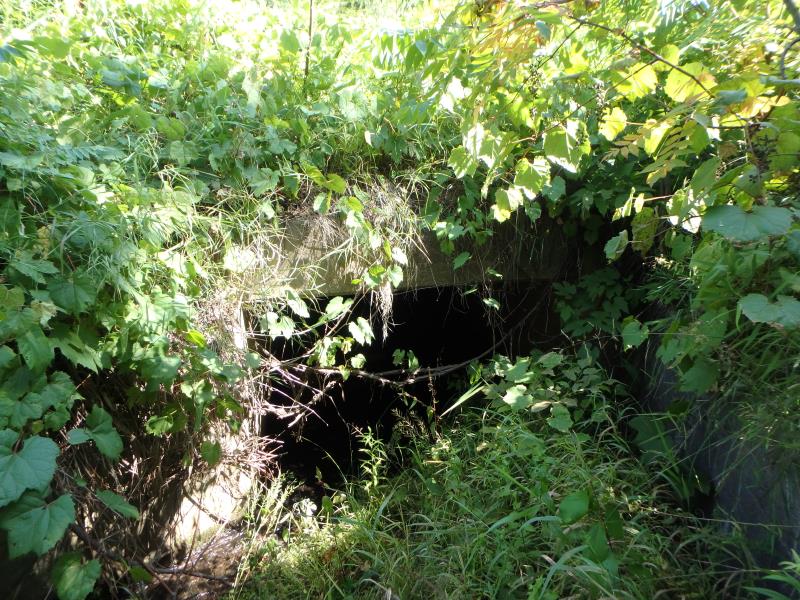
Inlet
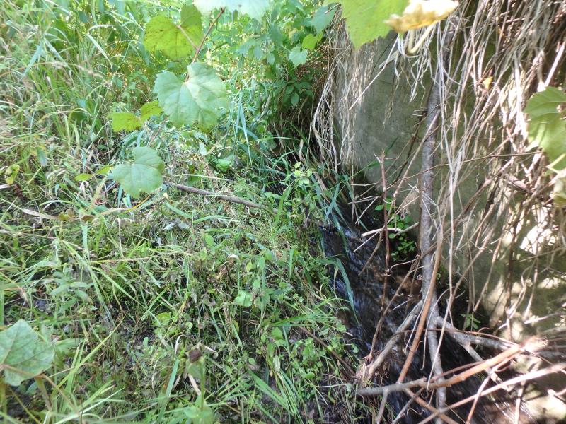
Outlet
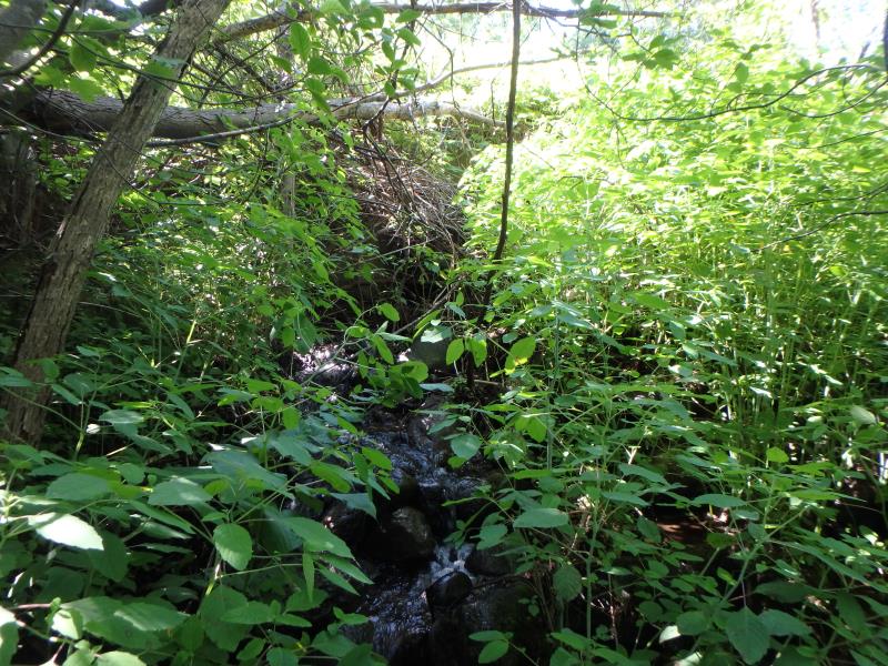
Upstream Conditions
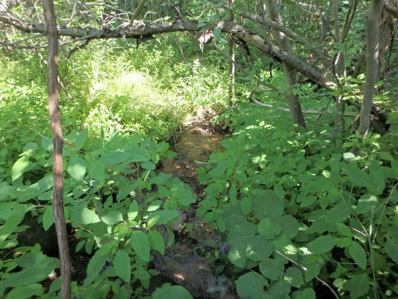
Downstream Conditions
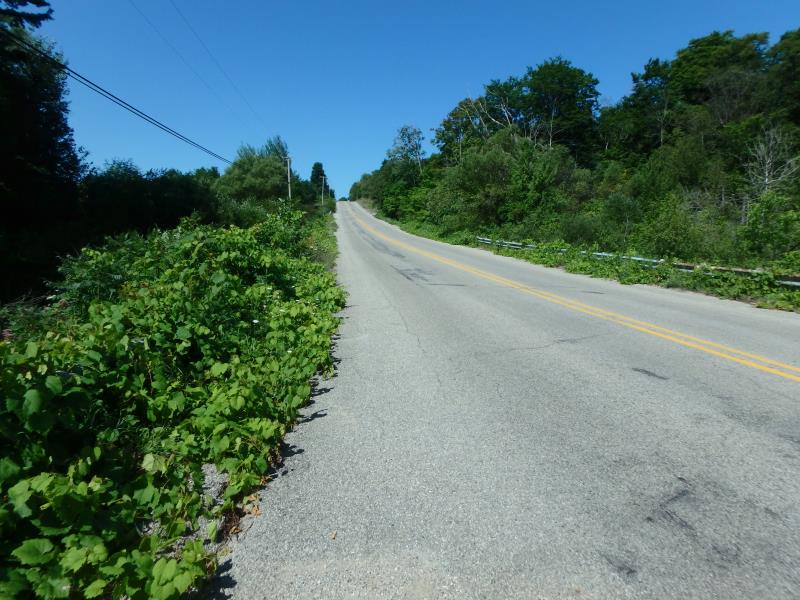
Road Approach - Left
Road Approach - Right
Crossing Information
Type of Crossing: Bridge
Structure Shape: Square/Rectangle
Inlet Type: Wingwall 10-30 Degree
Outlet Type: At Stream Grade
Structure Material: Concrete
Structure Substrate: Mixture
General Conditions: Good
Structure Interior: smooth
Dimensions of Structure: Length 58.4 ft.
, Width 7.7 ft.
, Height 4 ft.
Structure Inlet
Water Depth: 0.1 ft.
Embedded Depth of Structure: 0 ft.
Water Velocity*: 3.5 ft./sec.
Structure Outlet
Water Depth: 0.1 ft.
Embedded Depth of Structure: 0 ft.
Water Velocity*: 1.9 ft./sec.
*Water Velocities were measured 0.05 ft. below Surface
(with Meter)
Stream Information
Stream Flow: Less than 1/2 Bankfull
Riffle Information
Water Depth: 0.1 ft.
Bankfull Width: 6 ft.
Wetted Width: 2 ft.
Water Velocity: 1.8 ft./sec.
(Measured with Meter)
Dominant Substrate: Sand
Road Information
Paved
Town Road
Road Condition: Fair
Road Width at Culvert: 31.5 ft.
Location of Low Point: Other
Runoff Path: Ditch
Embankments
Upstream
Fill Depth: 2.4 ft.
Slope: 1:2
Downstream
Fill Depth: 4.8 ft.
Slope: 1:1
Approaches
Left Approach
Length: 500 ft.
Slope: 1% to 5%
Vegetation: Heavy
LS Factor: 0.5
Erosion: 0.2603 tons/year
Right Approach
Length: 25 ft.
Slope: Less Than 1%
Vegetation: Heavy
LS Factor: 0.05
Erosion: 0.0013 tons/year
Erosion Information
Total Erosion at Crossing: 0.2616 tons/year
Summary Information
Fish Passability 0
Fish Passage is an area of concern for this site.
Lots of steps on downstream side
These non-native species were observerd at this site: Burdock
�