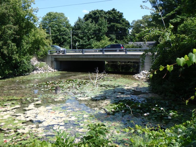
Road Stream Crossing Site GTBAY_LEE091
West Bay Shoreline & Tributaries Watershed, Cedar Creek
M-22
Elmwood Twp,
Leelanau County
Information collected by:
Site Location
GPS Coordinates: 44.794348
, -85.636076
T28N
R11W
Sec 28
Owned by Private
Total Erosion: 1.4921 tons/year
Severity: Minor
Year Inventoried: 2020
Inlet
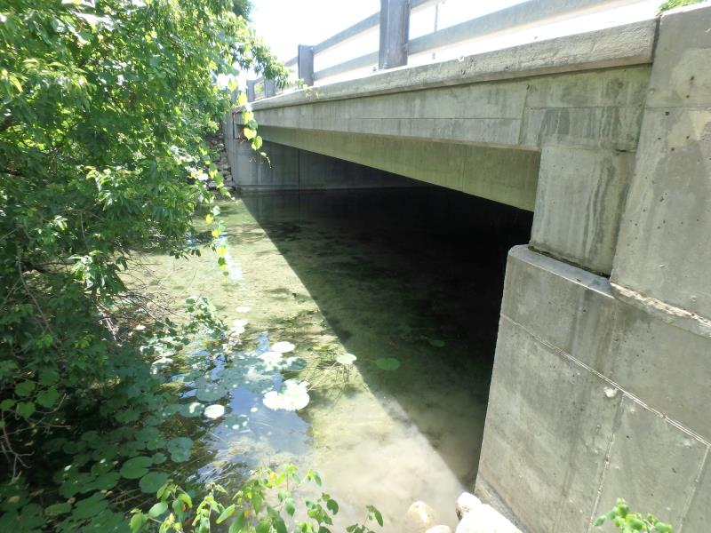
Outlet
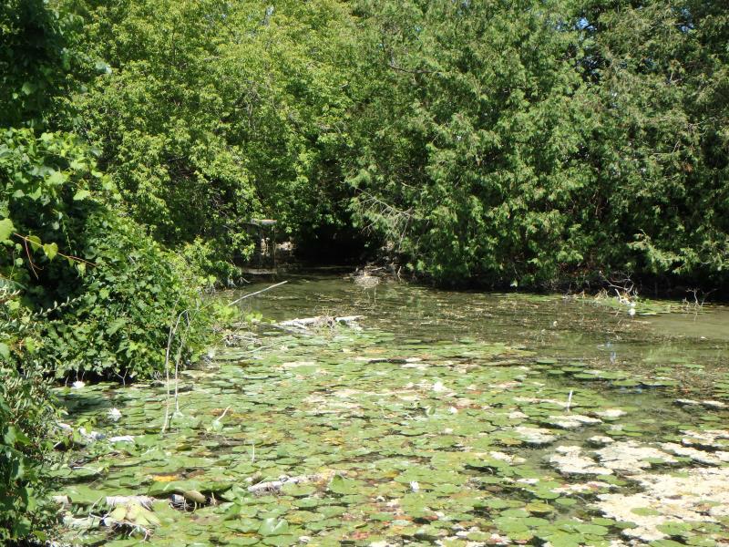
Upstream Conditions
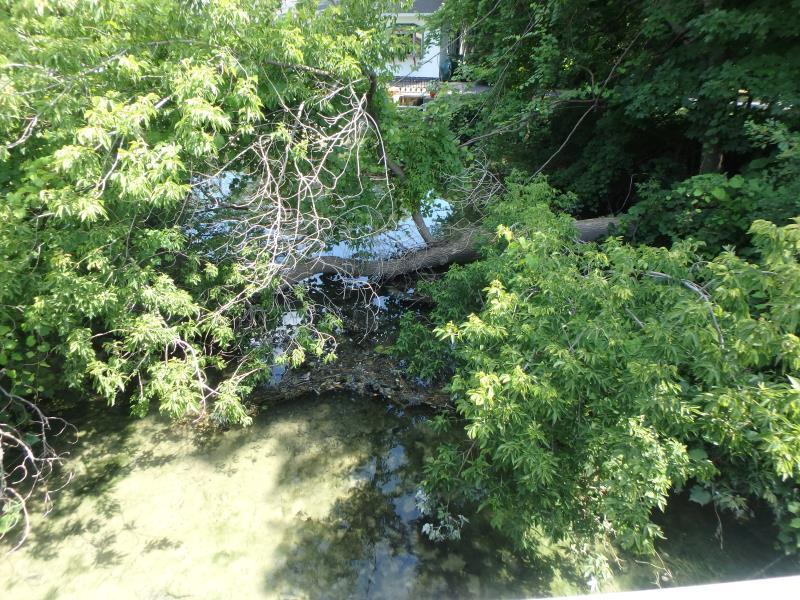
Downstream Conditions
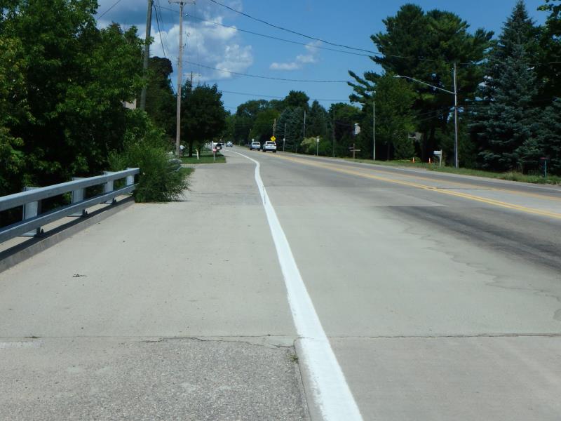
Road Approach - Left
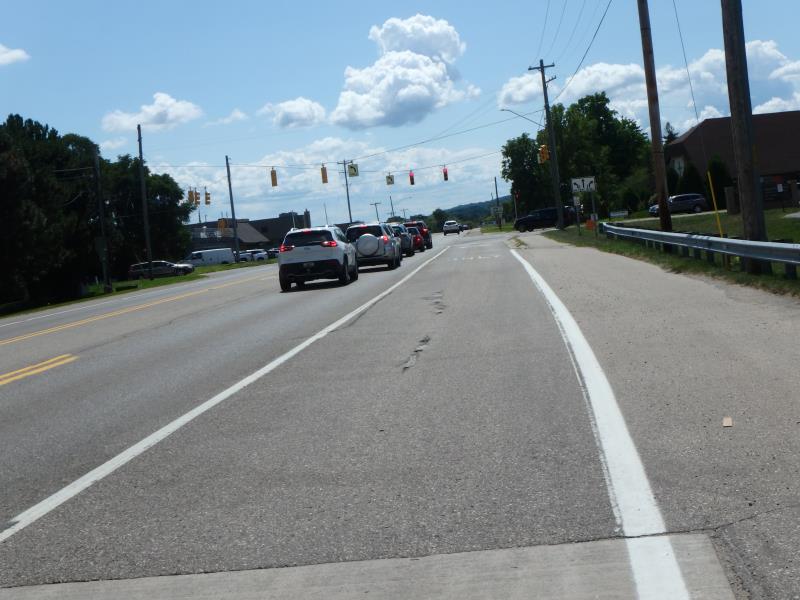
Road Approach - Right
Crossing Information
Type of Crossing: Bridge
Structure Shape: Open Bottom Square/Rectangle
Inlet Type: Headwall
Outlet Type: At Stream Grade
Structure Material: Concrete
Structure Substrate: Mixture
General Conditions: Good
Structure Interior: smooth
Dimensions of Structure: Length 63.3 ft.
, Width 48.4 ft.
, Height 6.3 ft.
Structure Inlet
Water Depth: 1.65 ft.
Embedded Depth of Structure: 0 ft.
Water Velocity*: 0 ft./sec.
Structure Outlet
Water Depth: 1.7 ft.
Embedded Depth of Structure: 0 ft.
Water Velocity*: 0 ft./sec.
(with Meter)
Additional Comments
Large open bottom bridge. Flagged for erosoin, should be modified to reflect vegetation.
Stream Information
Stream Flow: Less than Bankfull
Road Information
Paved
State Road
Road Condition: Fair
Road Width at Culvert: 52 ft.
Location of Low Point: Other
Runoff Path: Roadway
Embankments
Upstream
Fill Depth: 1.5 ft.
Slope: Vertical
Downstream
Fill Depth: 1.5 ft.
Slope: Vertical
Approaches
Left Approach
Length: 25 ft.
Slope: Less Than 1%
Vegetation: heavy
LS Factor: 0.05
Erosion: 0.0021 tons/year
Right Approach
Length: 792 ft.
Slope: 1% to 5%
Vegetation: heavy
LS Factor: 1.094
Erosion: 1.49 tons/year
Erosion Information
Total Erosion at Crossing: 1.4921 tons/year
Summary Information
�