Road Stream Crossing Site GTBAY_LEE093
West Bay Shoreline & Tributaries Watershed, Unnamed
M-22
Elmwood Twp,
Leelanau County
Information collected by:
Site Location
GPS Coordinates: 44.78294928
, -85.63791292
T28N
R11W
Sec 33
Owned by Private
Total Erosion: 0.0036 tons/year
Severity: Minor
Year Inventoried: 2020
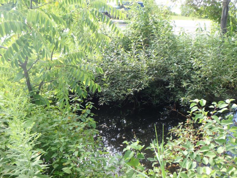
Inlet
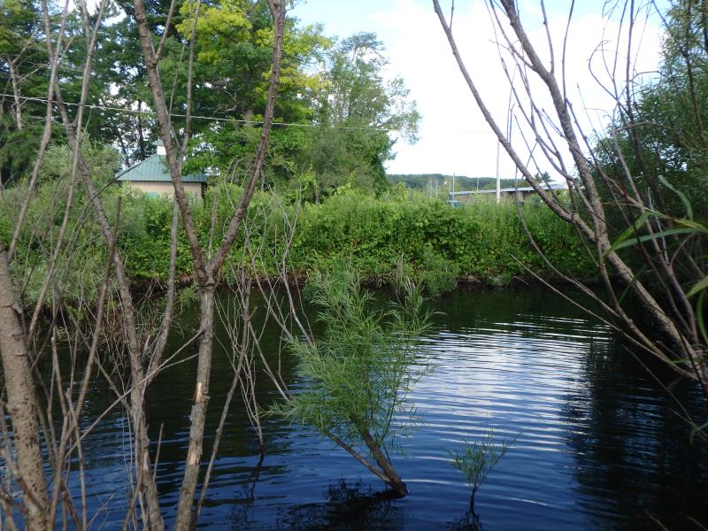
Outlet
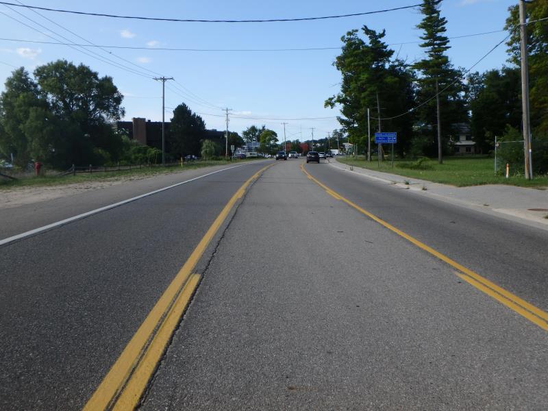
Upstream Conditions
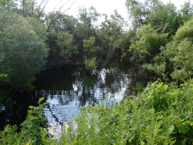
Downstream Conditions
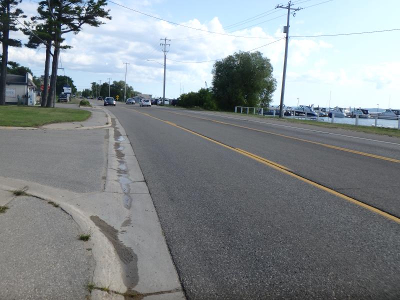
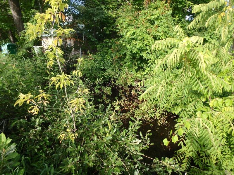
Road Approach - Left
Road Approach - Right
Crossing Information
Type of Crossing: culvert(s)
Number of Structures: 3
Structure Shape: Ellipse
Inlet Type: Apron
Outlet Type: At Stream Grade
Structure Material: Concrete
Structure Substrate: Mixture
General Conditions: Fair
Multiple Culverts/Spans | ||||
Culvert/Span | Width | Length | Height | Material |
1 |
3.1 ft. |
72 ft. |
2.6 ft. |
Concrete |
2 |
2.7 ft. |
75 ft. |
2.2 ft. |
Concrete |
3 |
2.6 ft. |
79 ft. |
2 ft. |
Concrete |
Structure Interior: smooth
Dimensions of Structure: Length 72 ft.
, Width 3.1 ft.
, Height 2.6 ft.
Structure Inlet
Water Depth: 0.4 ft.
Embedded Depth of Structure: 0.1 ft.
Water Velocity*: 0.5 ft./sec.
Structure Outlet
Water Depth: 1.8 ft.
Embedded Depth of Structure: 1.2 ft.
Water Velocity*: 0 ft./sec.
*Water Velocities were measured 0.85 ft. below Surface
(with Meter)
Additional Comments
Water depth and velocity recorded for culvert #1
Stream Information
Stream Flow: Less than Bankfull
Road Information
Paved
State Road
Road Condition: Good
Road Width at Culvert: 44 ft.
Location of Low Point: Other
Runoff Path: Roadway
Embankments
Upstream
Fill Depth: 1.45 ft.
Slope: Less than 1:2
Downstream
Fill Depth: 3 ft.
Slope: Less than 1:2
Approaches
Left Approach
Length: 25 ft.
Slope: Less Than 1%
Vegetation: None
LS Factor: 0.05
Erosion: 0.0018 tons/year
Right Approach
Length: 25 ft.
Slope: Less Than 1%
Vegetation: None
LS Factor: 0.05
Erosion: 0.0018 tons/year
Erosion Information
Total Erosion at Crossing: 0.0036 tons/year
Summary Information
�