Road Stream Crossing Site GTBAY_LEE095
West Bay Shoreline & Tributaries Watershed, Unnamed
Meadowbrook
Elmwood Twp,
Leelanau County
Information collected by:
Site Location
GPS Coordinates: 44.7918589
, -85.64978915
T28N
R11W
Sec 28
Owned by Private
Fish Passability 0.9
Total Erosion: 1.0126 tons/year
Severity: Moderate
Year Inventoried: 2020
Inlet
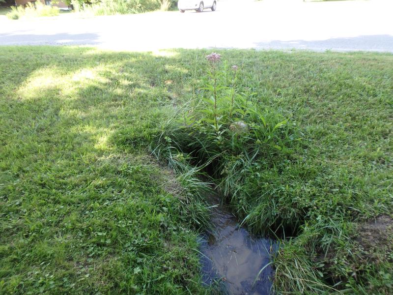
Outlet
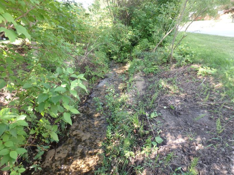
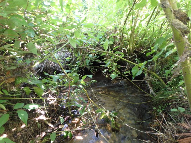
Upstream Conditions
Downstream Conditions
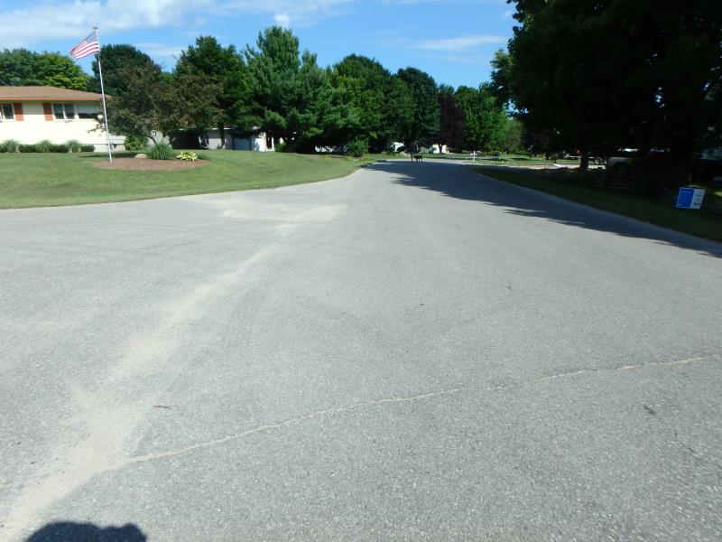
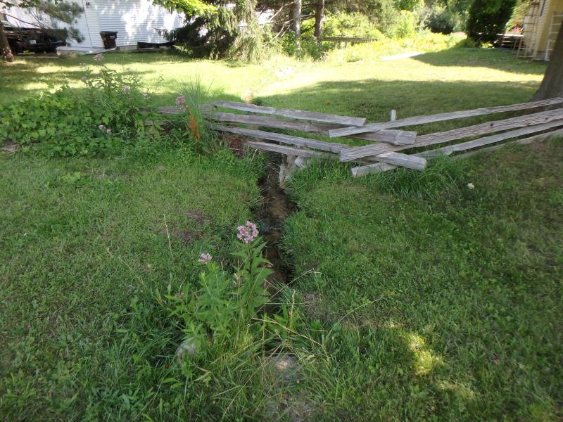
Road Approach - Left
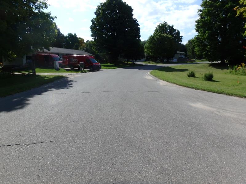
Road Approach - Right
Crossing Information
Type of Crossing: culvert(s)
Number of Structures: 1
Structure Shape: Round
Inlet Type: Projecting
Outlet Type: At Stream Grade
Structure Material: Concrete
Structure Substrate: Sand
General Conditions: Good
Structure Interior: smooth
Dimensions of Structure: Length 63.8 ft.
, Width 1.8 ft.
, Height 1.8 ft.
Structure Inlet
Water Depth: 0.3 ft.
Embedded Depth of Structure: 0.1 ft.
Water Velocity*: 1 ft./sec.
Structure Outlet
Water Depth: 0.3 ft.
Embedded Depth of Structure: 0.4 ft.
Water Velocity*: 1.8 ft./sec.
*Water Velocities were measured 0.1 ft. below Surface
(with Meter)
Stream Information
Stream Flow: Less than 1/2 Bankfull
Riffle Information
Water Depth: 0.3 ft.
Bankfull Width: 3.1 ft.
Wetted Width: 2.4 ft.
Water Velocity: 1.6 ft./sec.
(Measured with Meter)
Dominant Substrate: Gravel
Road Information
Paved
Private Road
Road Condition: Fair
Road Width at Culvert: 48.2 ft.
Location of Low Point: At Stream
Runoff Path: Ditch
Embankments
Upstream
Fill Depth: 1.4 ft.
Slope: Less than 1:2
Downstream
Fill Depth: 0.8 ft.
Slope: Less than 1:2
Approaches
Left Approach
Length: 201.3 ft.
Slope: 1% to 5%
Vegetation: Partial
LS Factor: 0.481
Erosion: 0.1543 tons/year
Right Approach
Length: 739.2 ft.
Slope: 1% to 5%
Vegetation: Partial
LS Factor: 0.729
Erosion: 0.8583 tons/year
Erosion Information
Total Erosion at Crossing: 1.0126 tons/year
Summary Information
Fish Passability 0.9
These non-native species were observerd at this site: Spotted Knapweed
�